
Yosemite High Sierra Camps Hut-to-Hut
Trek from the sprawling Tuolumne Meadows to the soaring peaks surrounding May Lake
Experience the unique High Sierra Camp lodgings
Ascend to Vogelsang Camp, the highest High Sierra camp
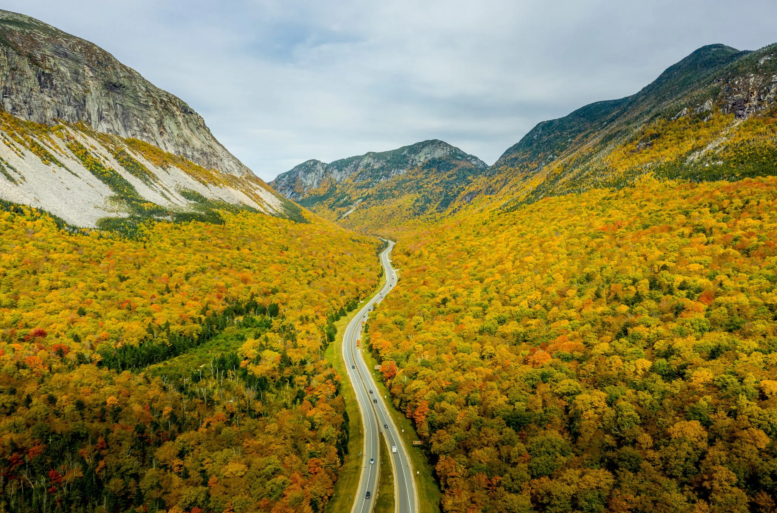
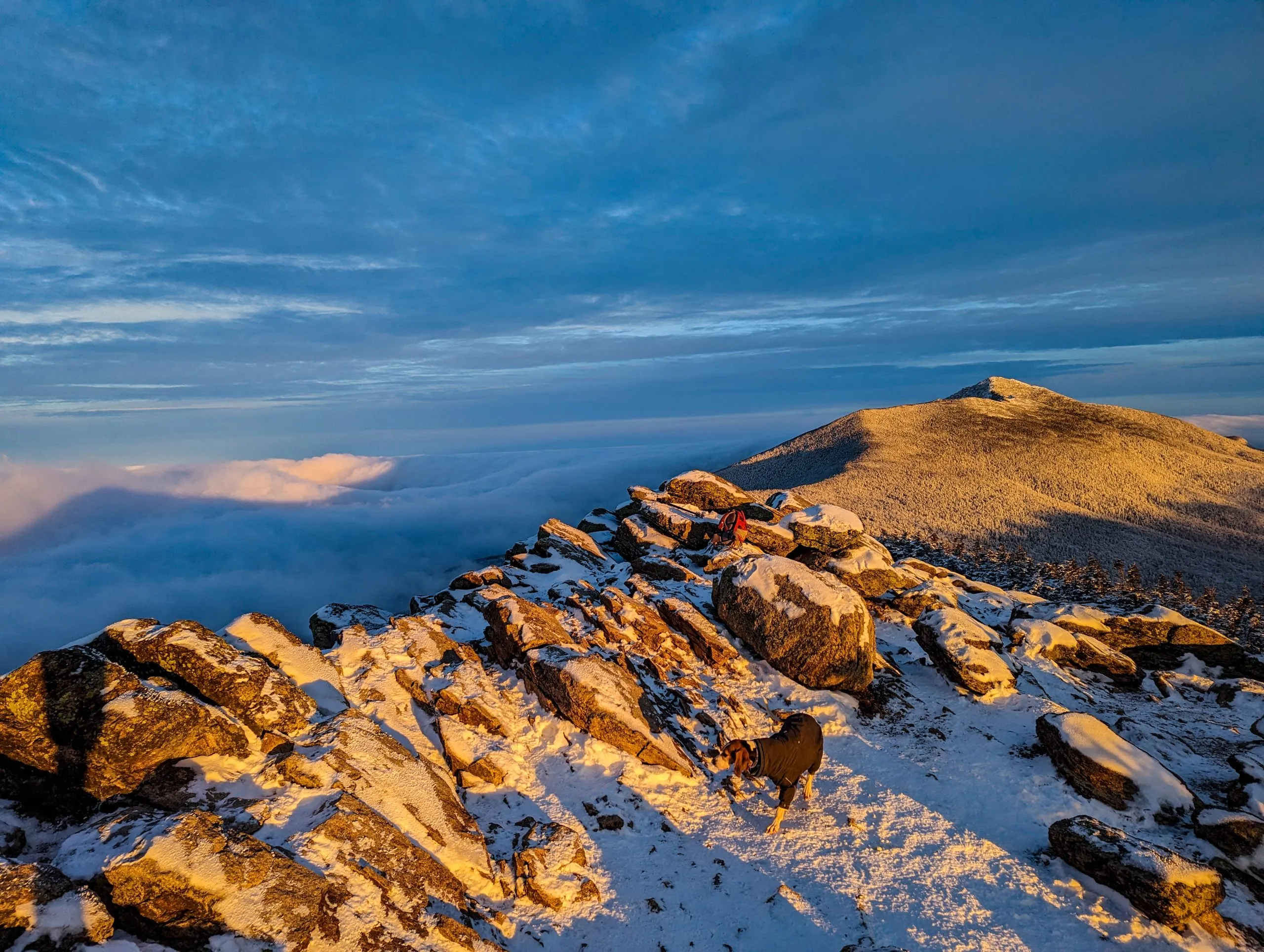
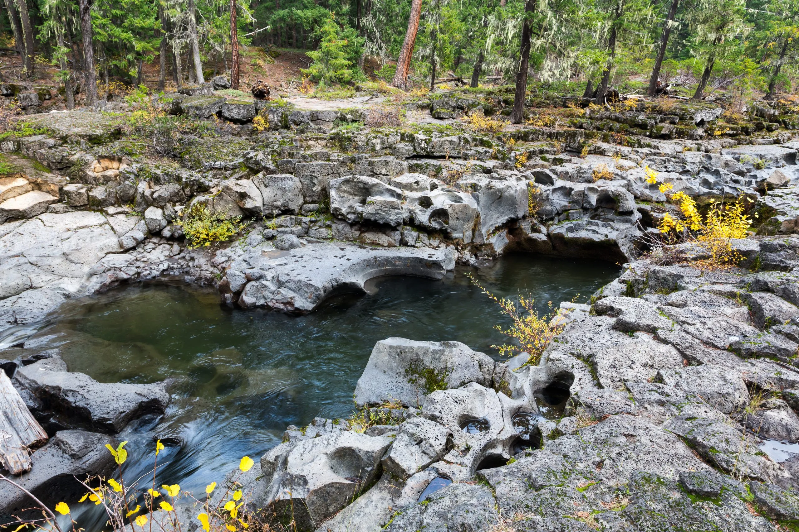
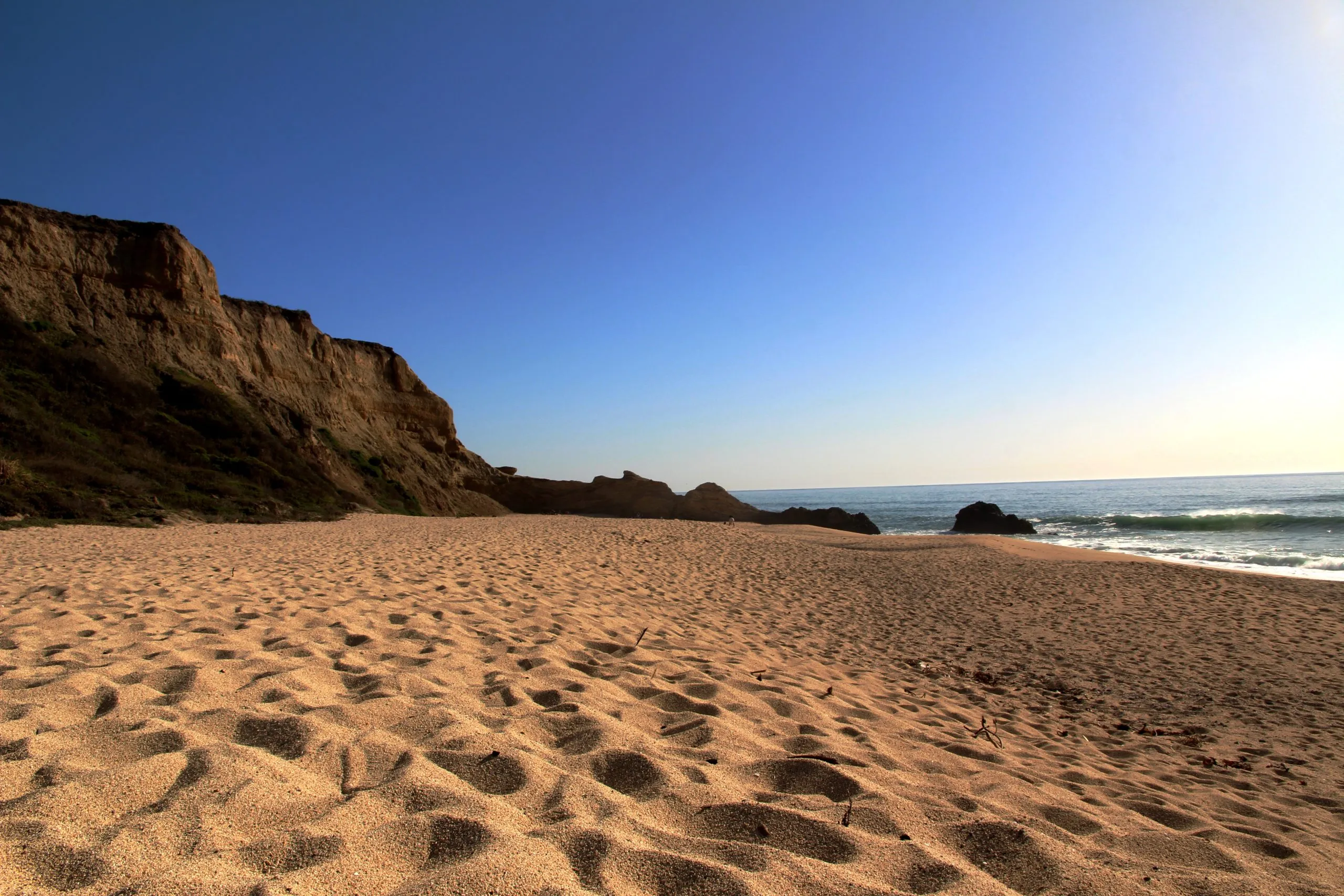
Marvel at the diverse scenery, including waterfalls, alpine tundra, and granite cliffs
Enjoy the camaraderie of fellow hikers at camps set in spectacular locations
Witness the spectacular sunrises at Sunrise Camp
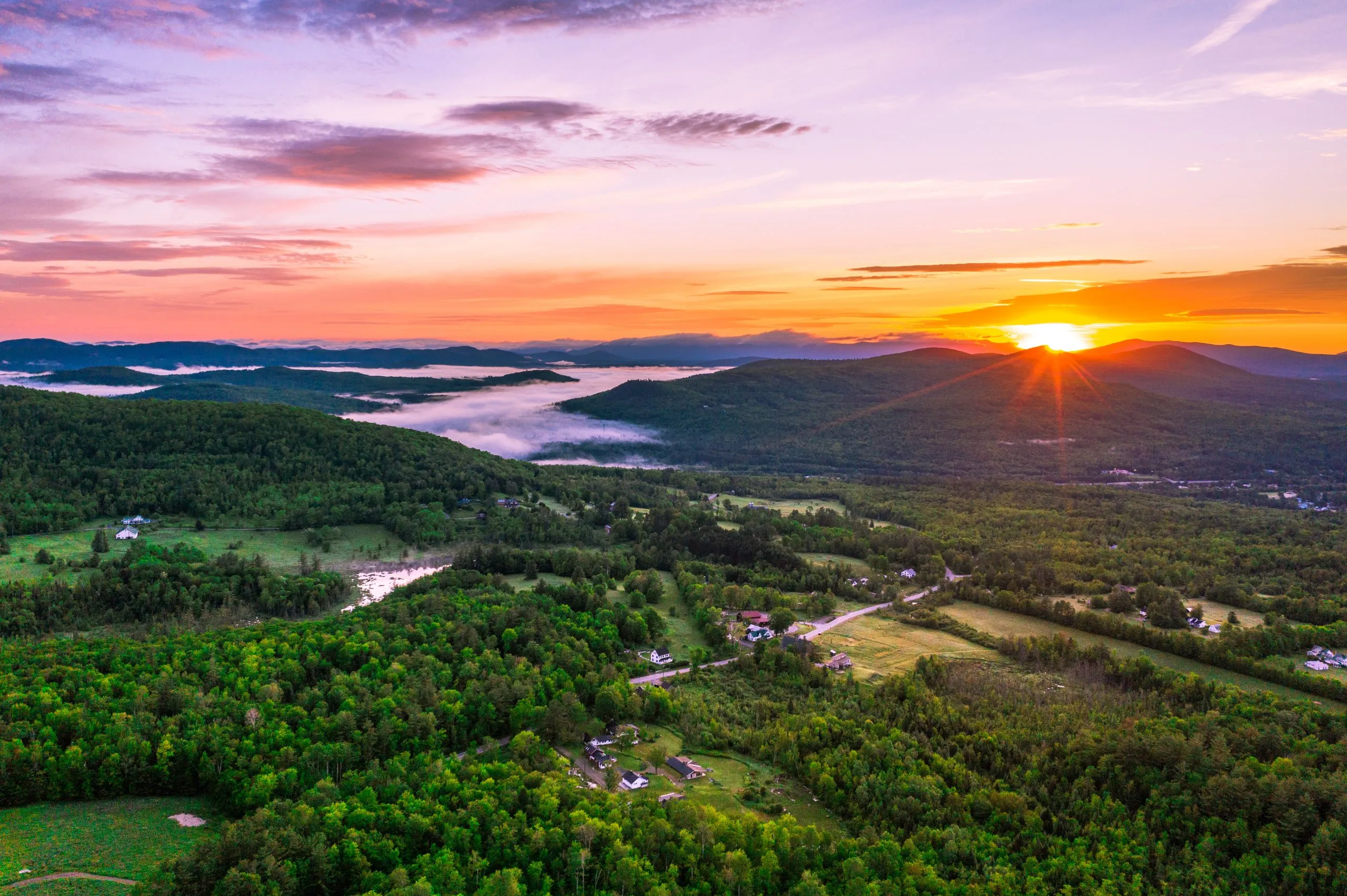
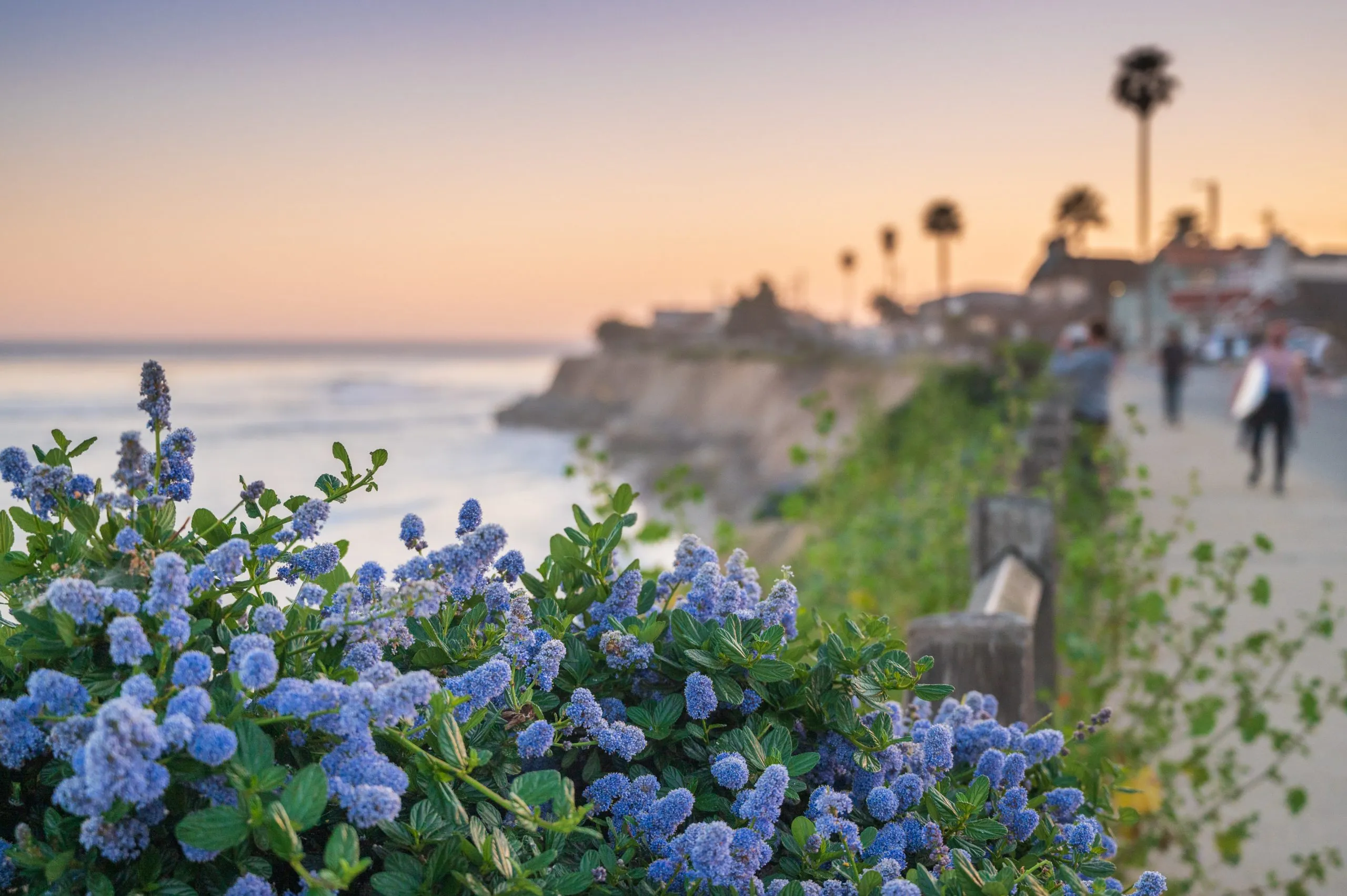
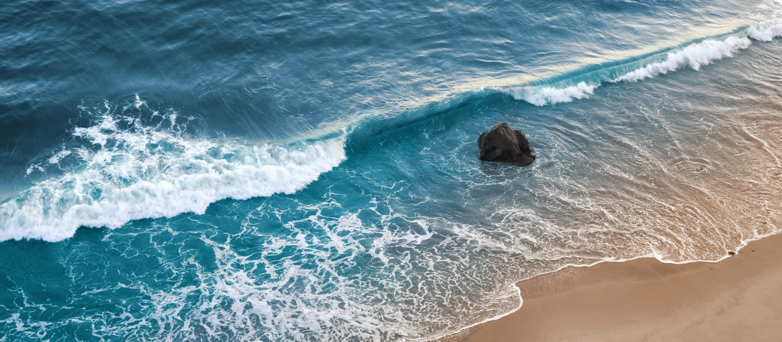
Bask in alpenglow at serene Lake Tenaya
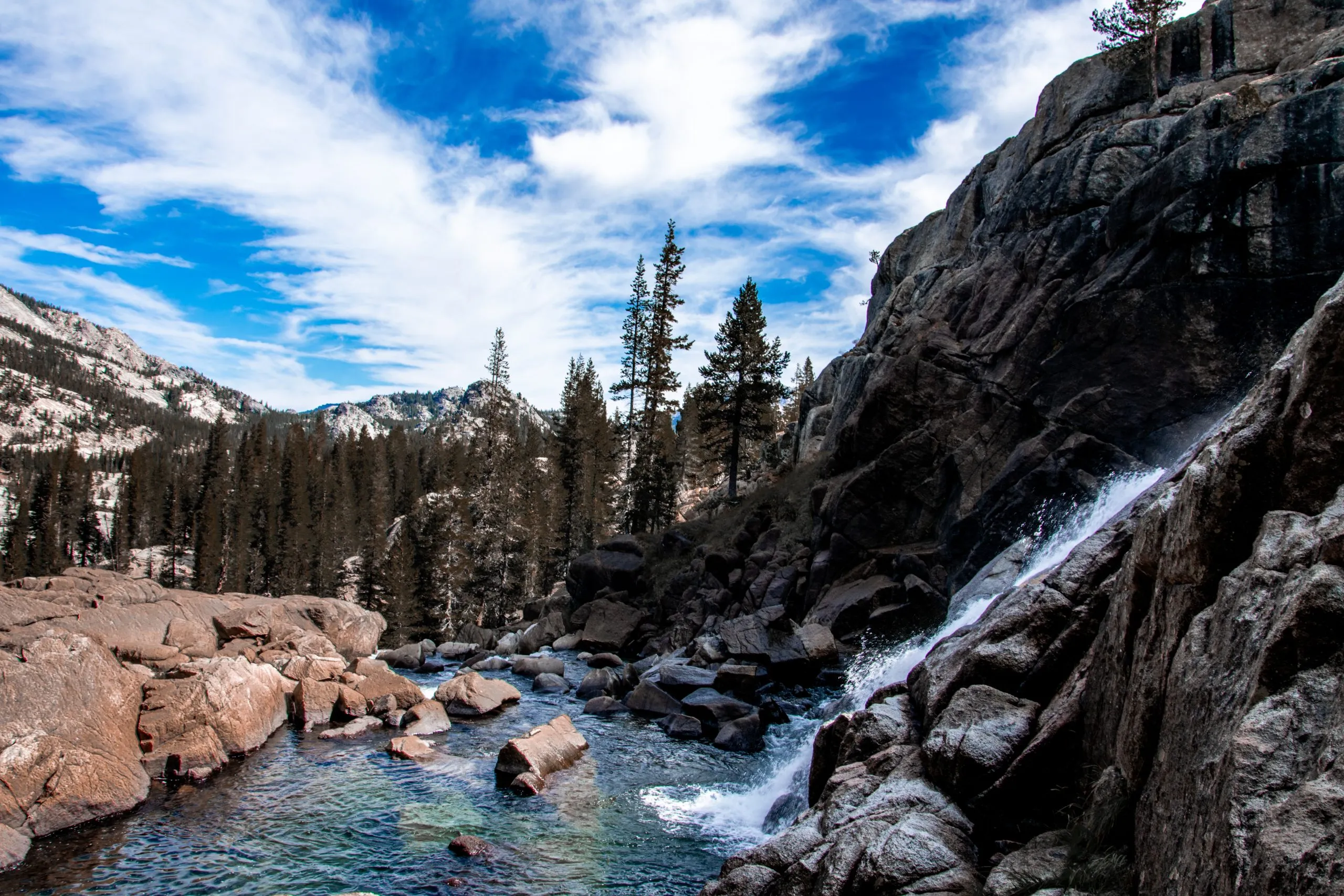
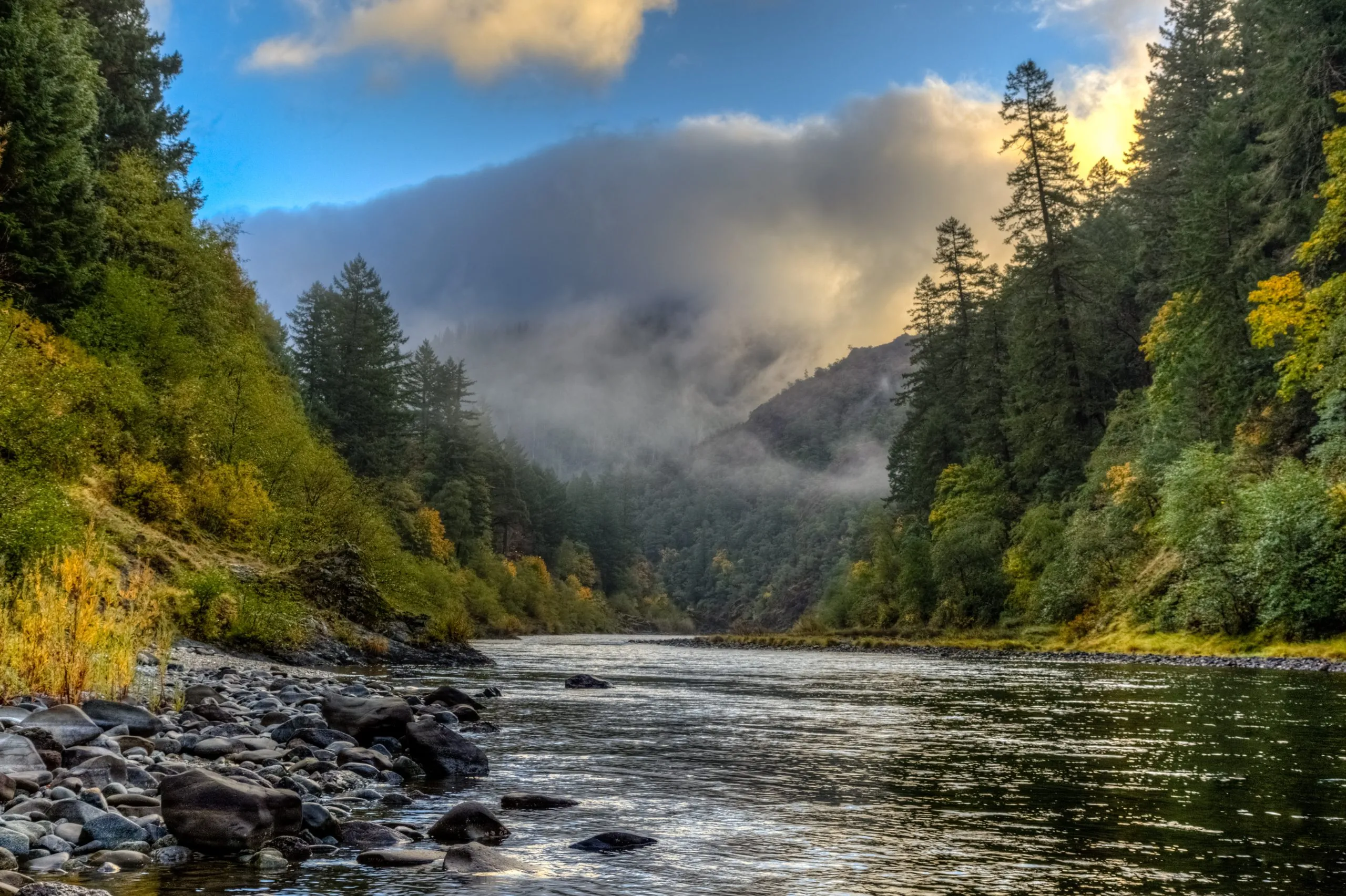
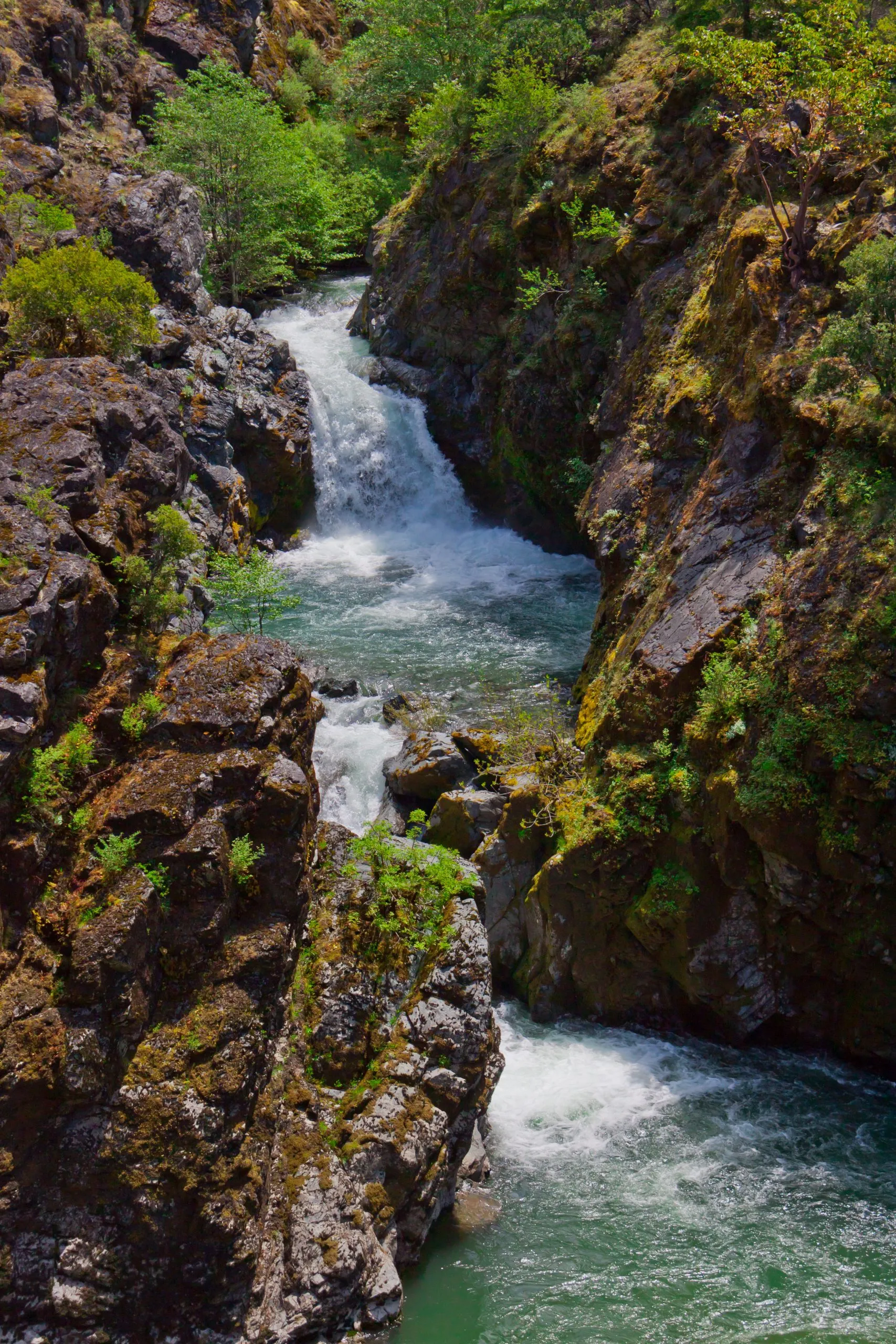
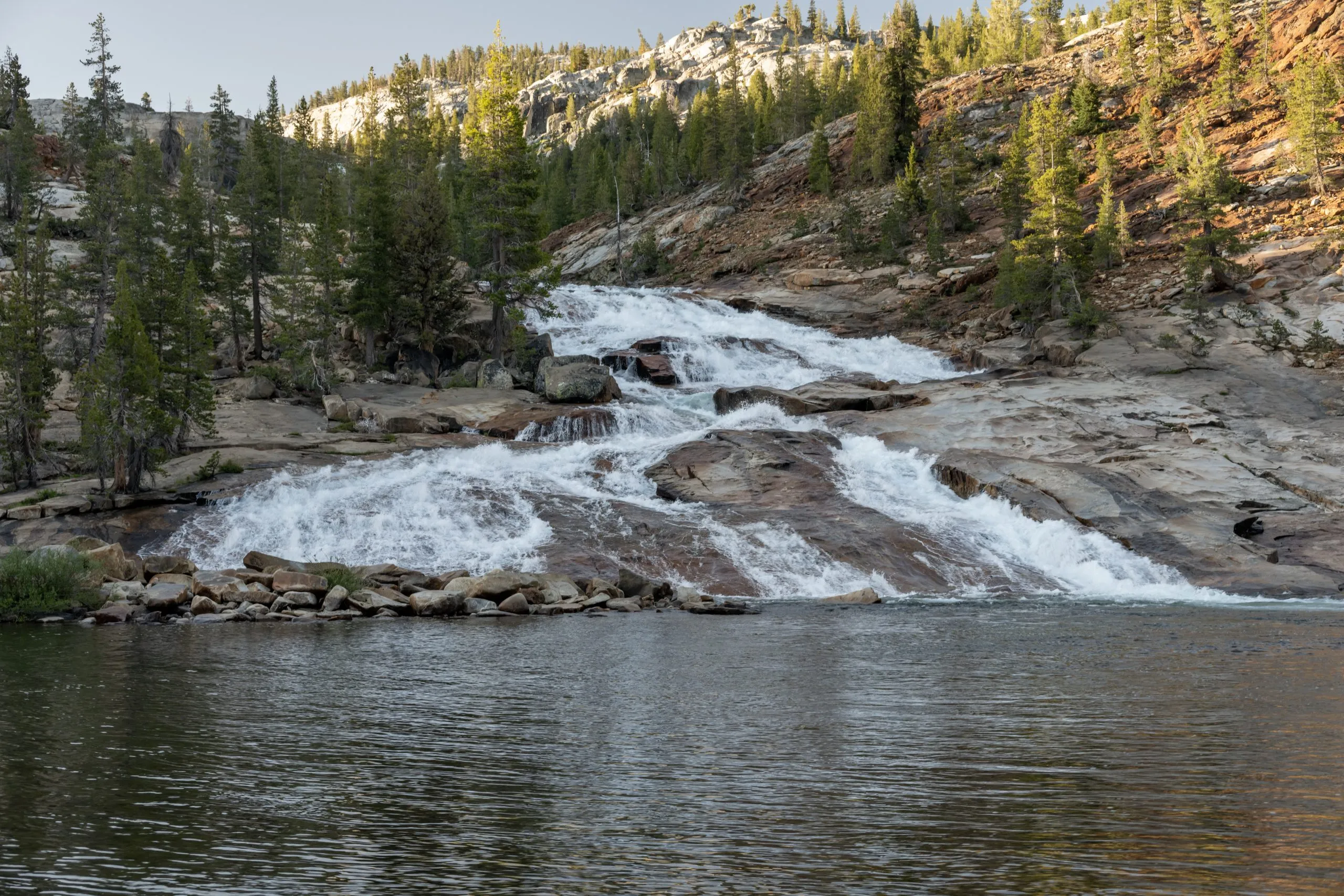
Witness the dance of cascades
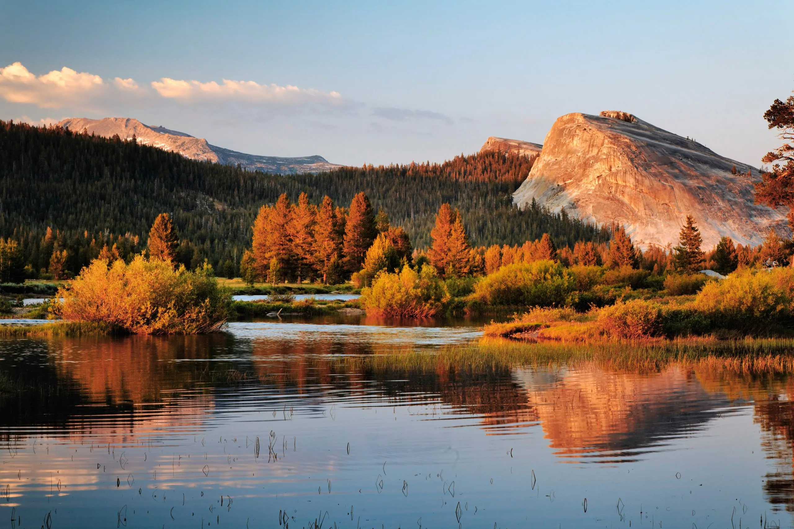
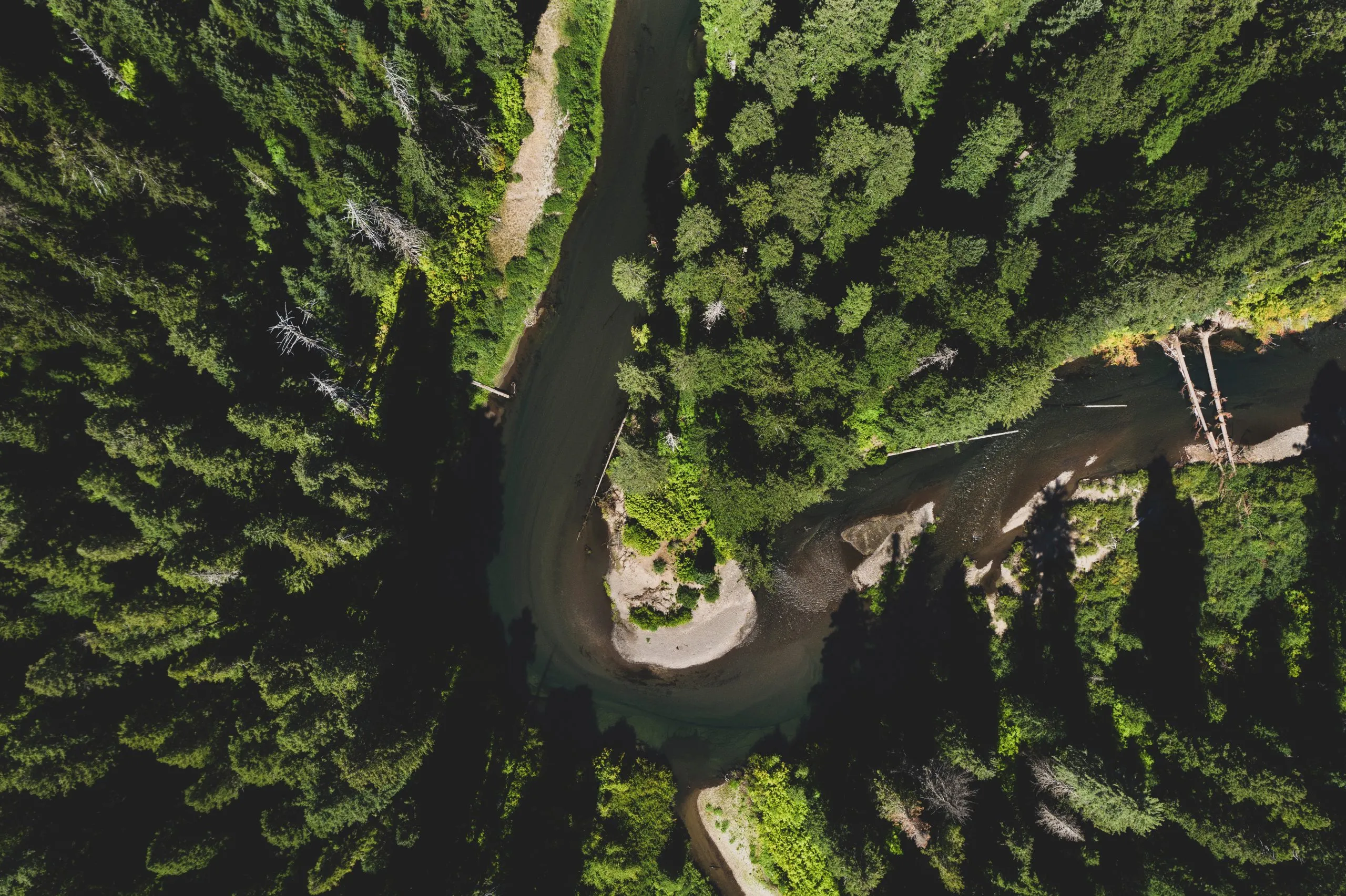
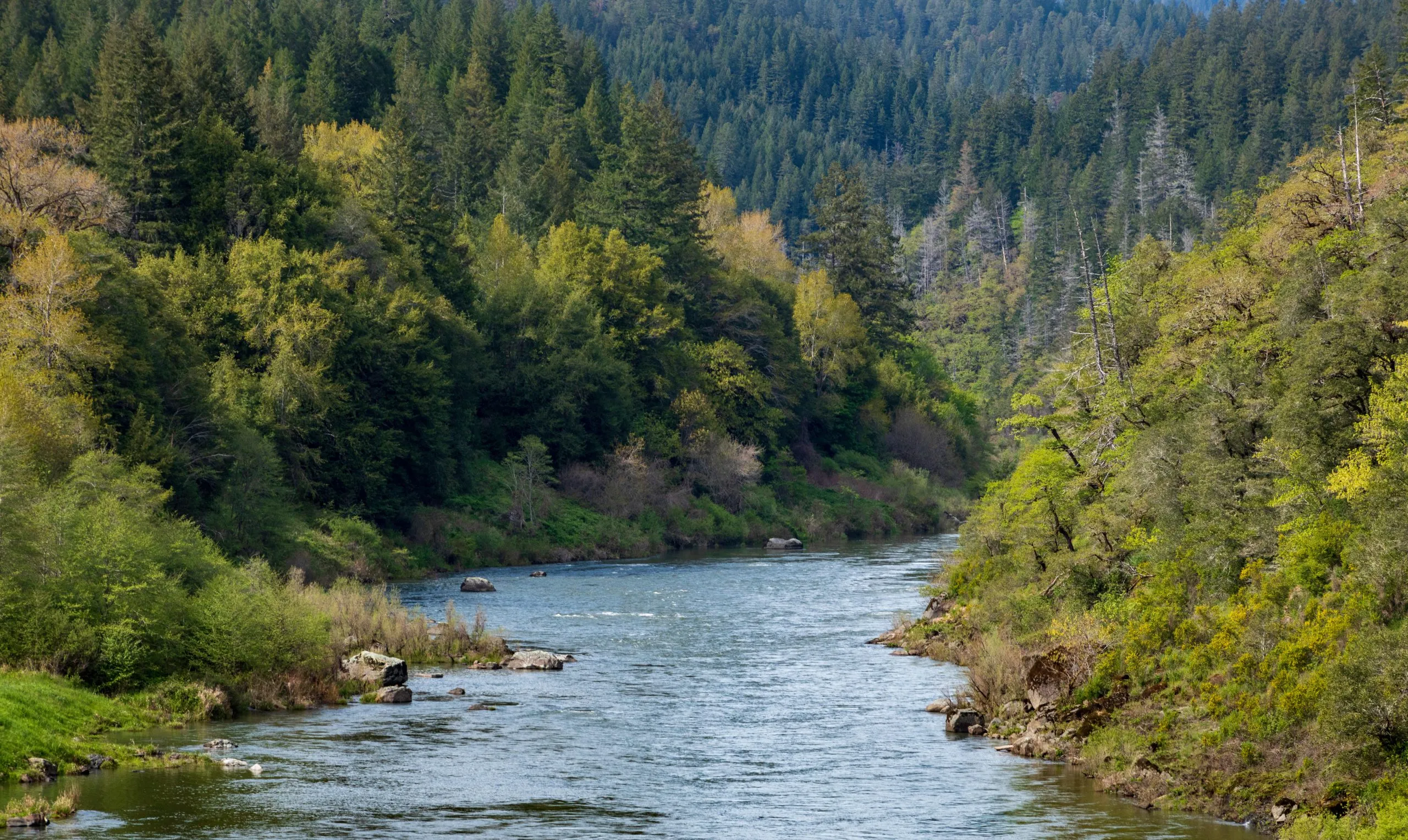
Embrace Tuolumne's meadows, where streams weave through
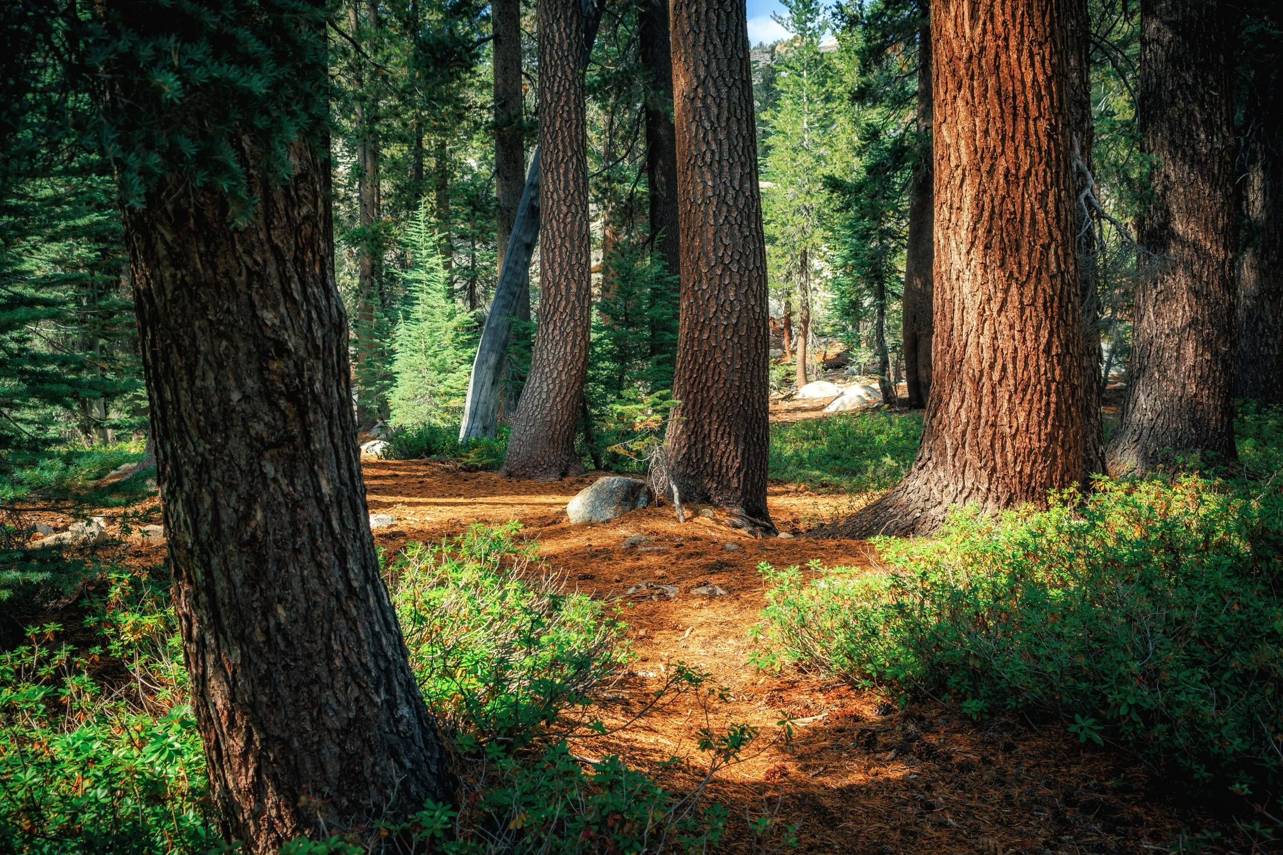
Trek where pines tower on paths less traveled
Stroll beside serene streams in high-altitude peace
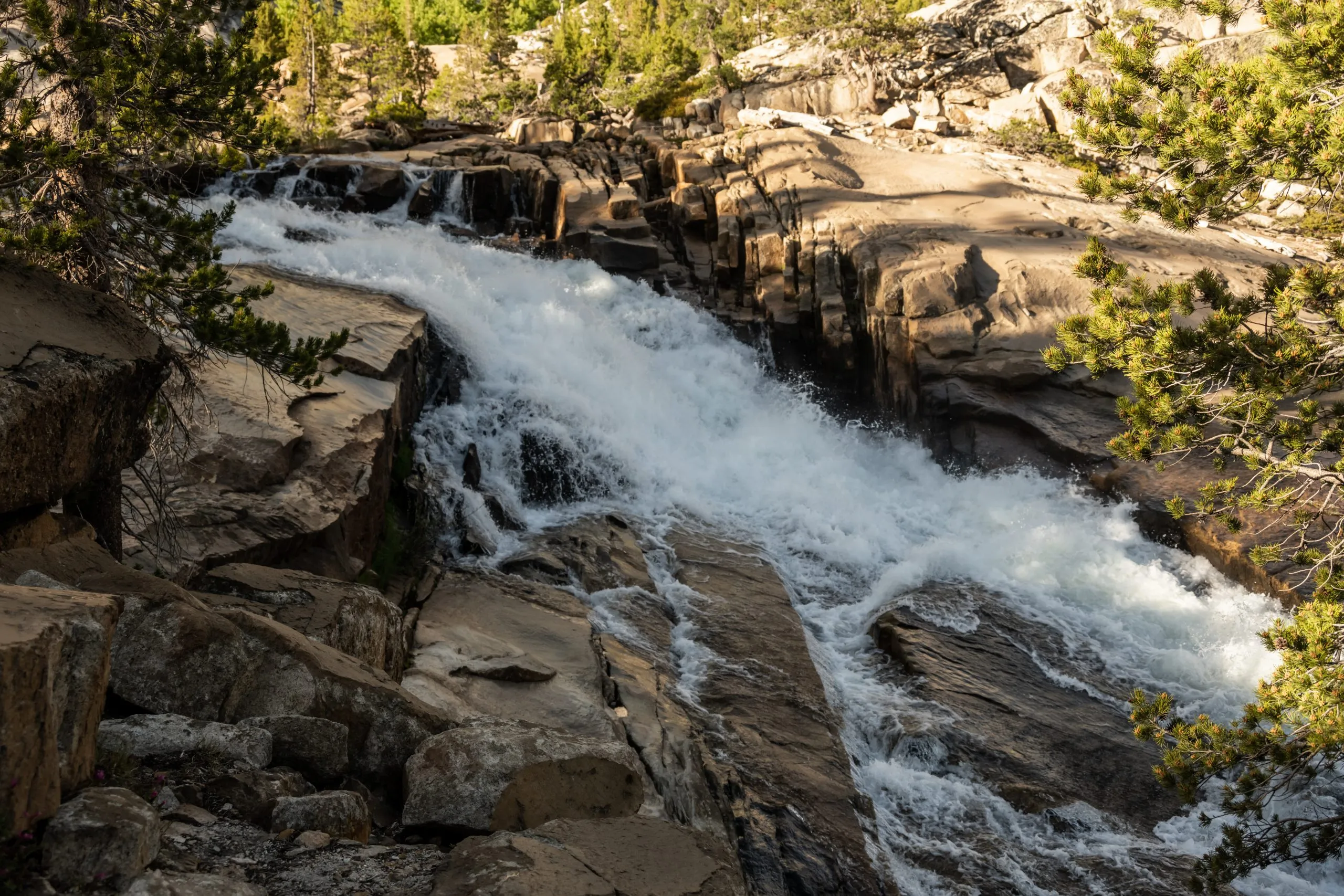
Discover hidden cascades in Yosemite's wilderness
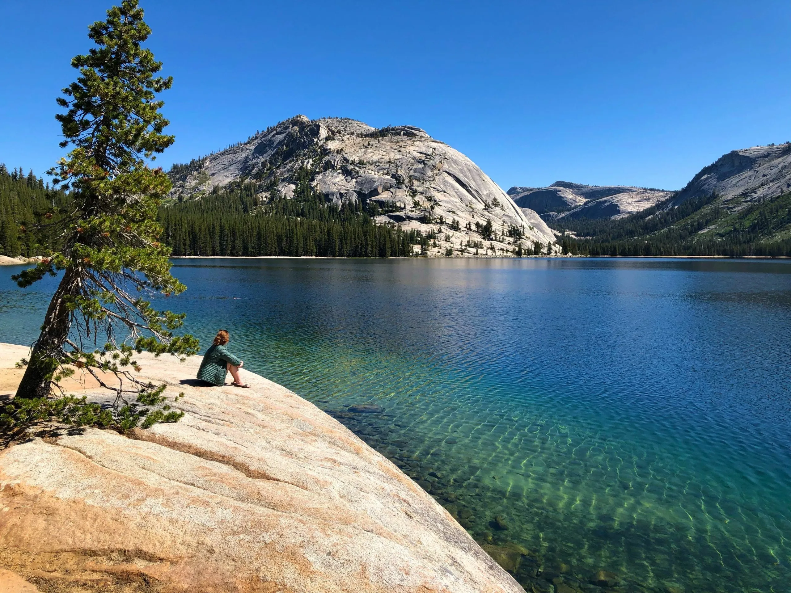
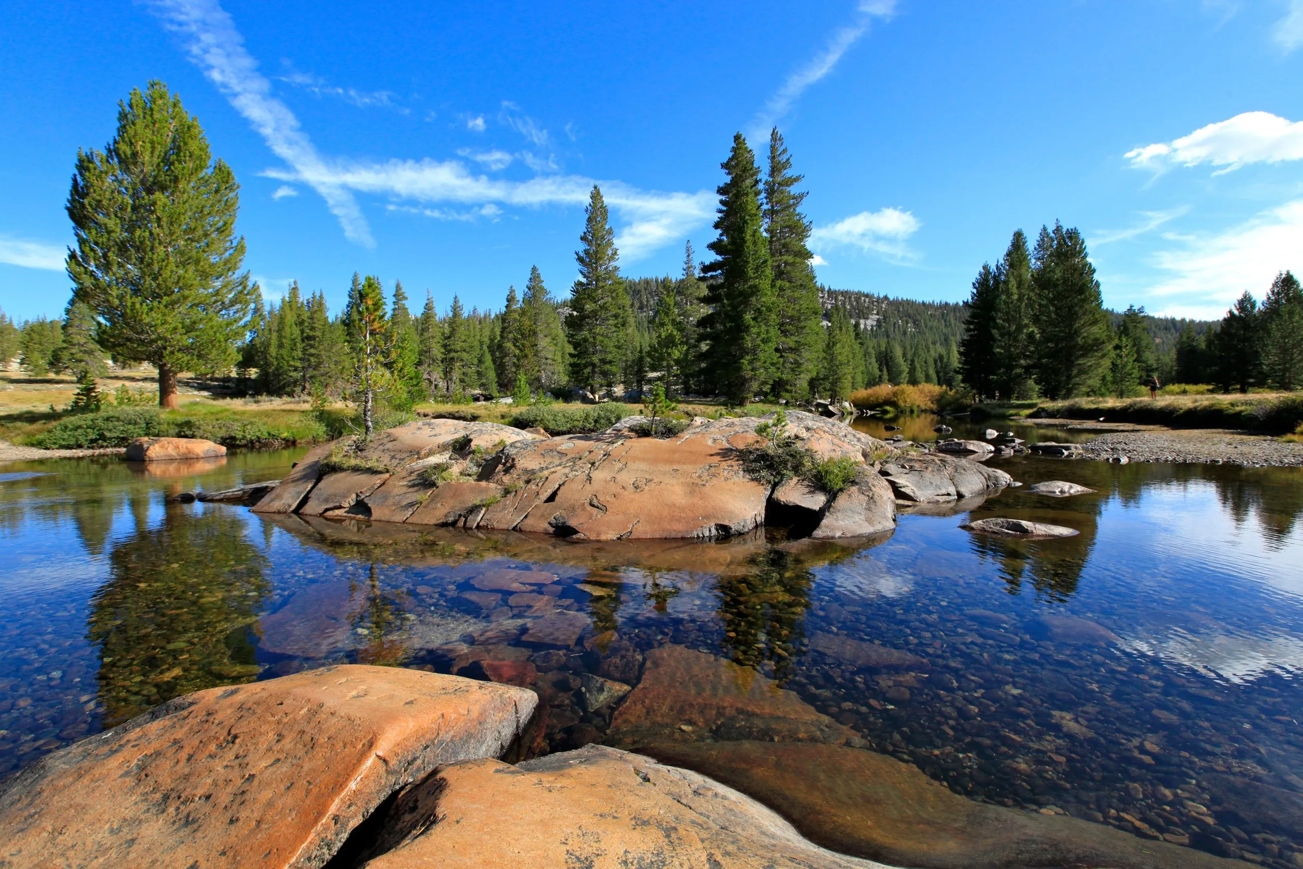
Pause and ponder at Tenaya's reflective waters
eel the rush of high Sierra streams along your hike
Savor the hues of high Sierra camps at day's end
Itinerary
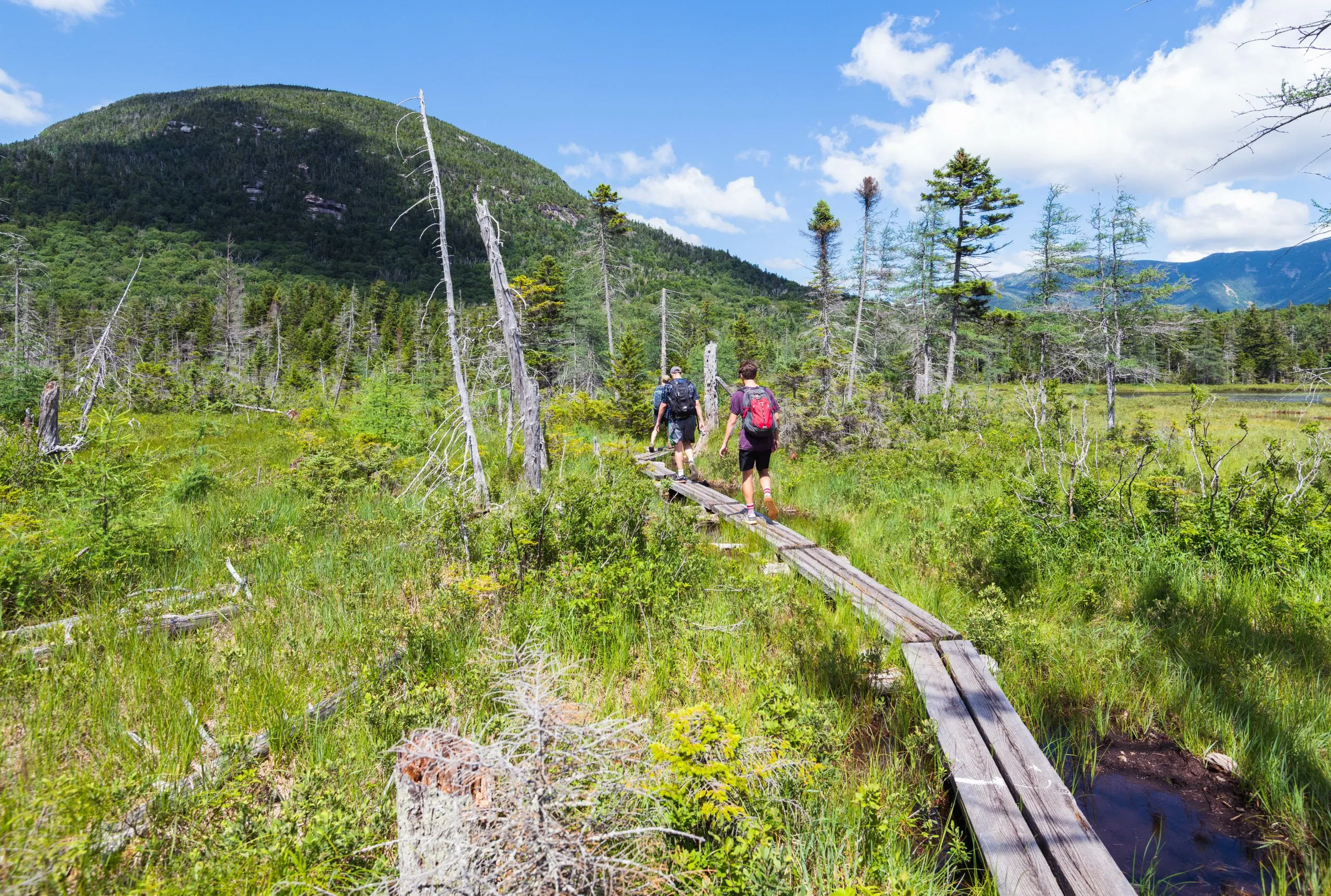
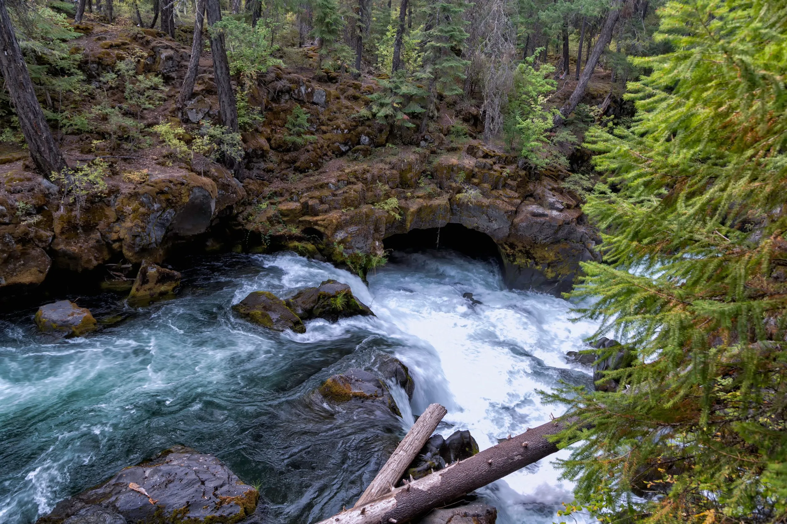
The first stage of this hike already introduces you to the otherworldly scenery of the Yosemite National Park, guiding you across the Tuolumne Meadows and along the Tuolumne River. Along the way, you’ll pass several waterfalls. On this descending path, which gets steeper in the last section, you’ll reach the Glen Aulin Camp on the shores of a pool on the river.
Glen Aulin Camp
7.3 miles and 275 feet of elevation gain / 1180 feet of elevation loss


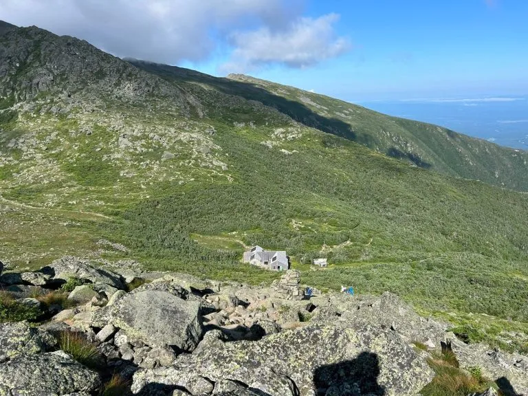
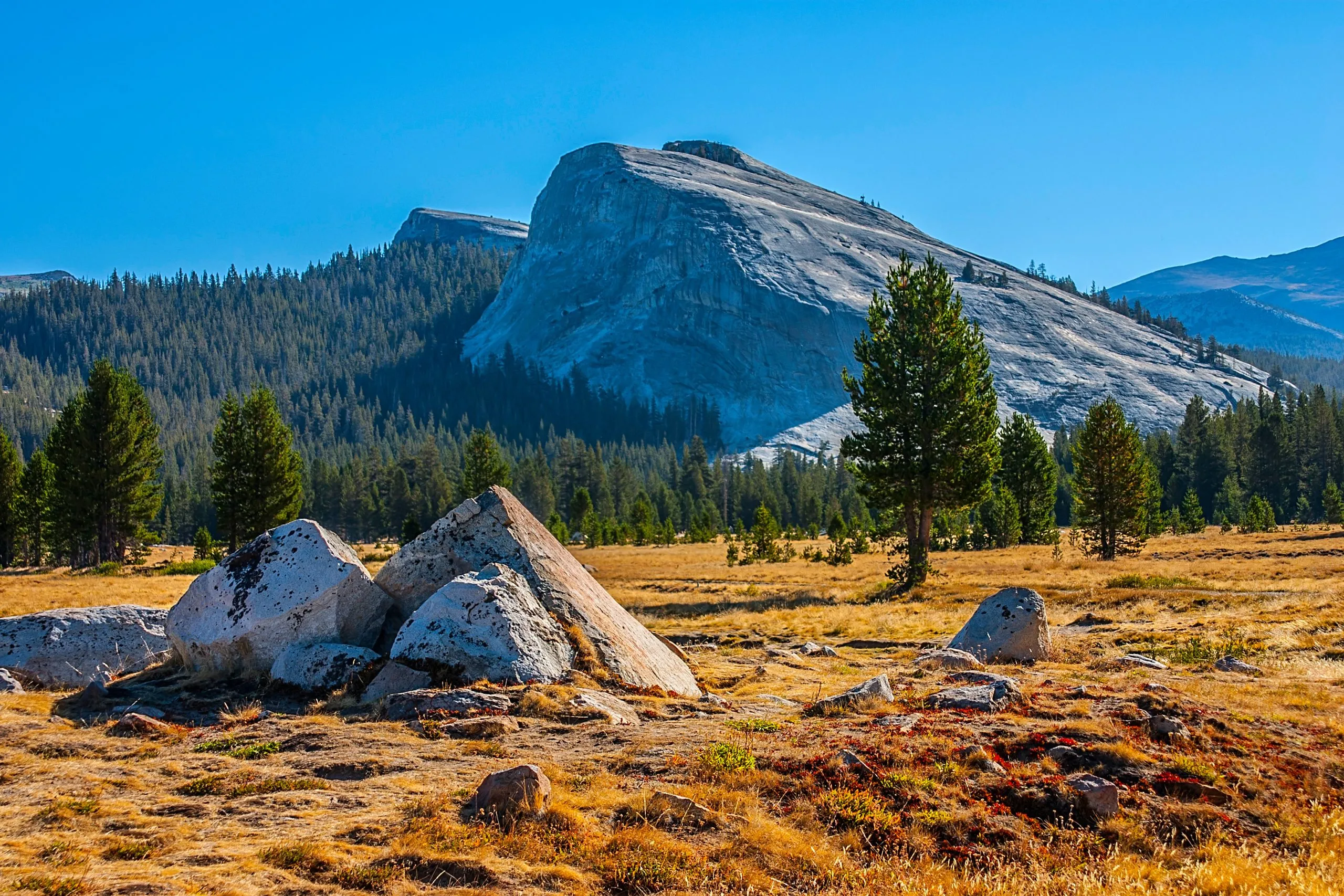
As you were mostly on the descent yesterday, you’re in for a day of uphill battles today. The first climb takes you to McGee Lake, where the trail temporarily runs downhill to Cathedral Creek. After that, there’s a steady ascent through the mountain wilderness until you reach the eight cabins of the May Lake Camp high up in the mountains, where you’ll enjoy some of the most spectacular views of the entire week.
May Lake Camp
8.2 miles and 2060 feet of elevation gain / 540 feet of elevation loss


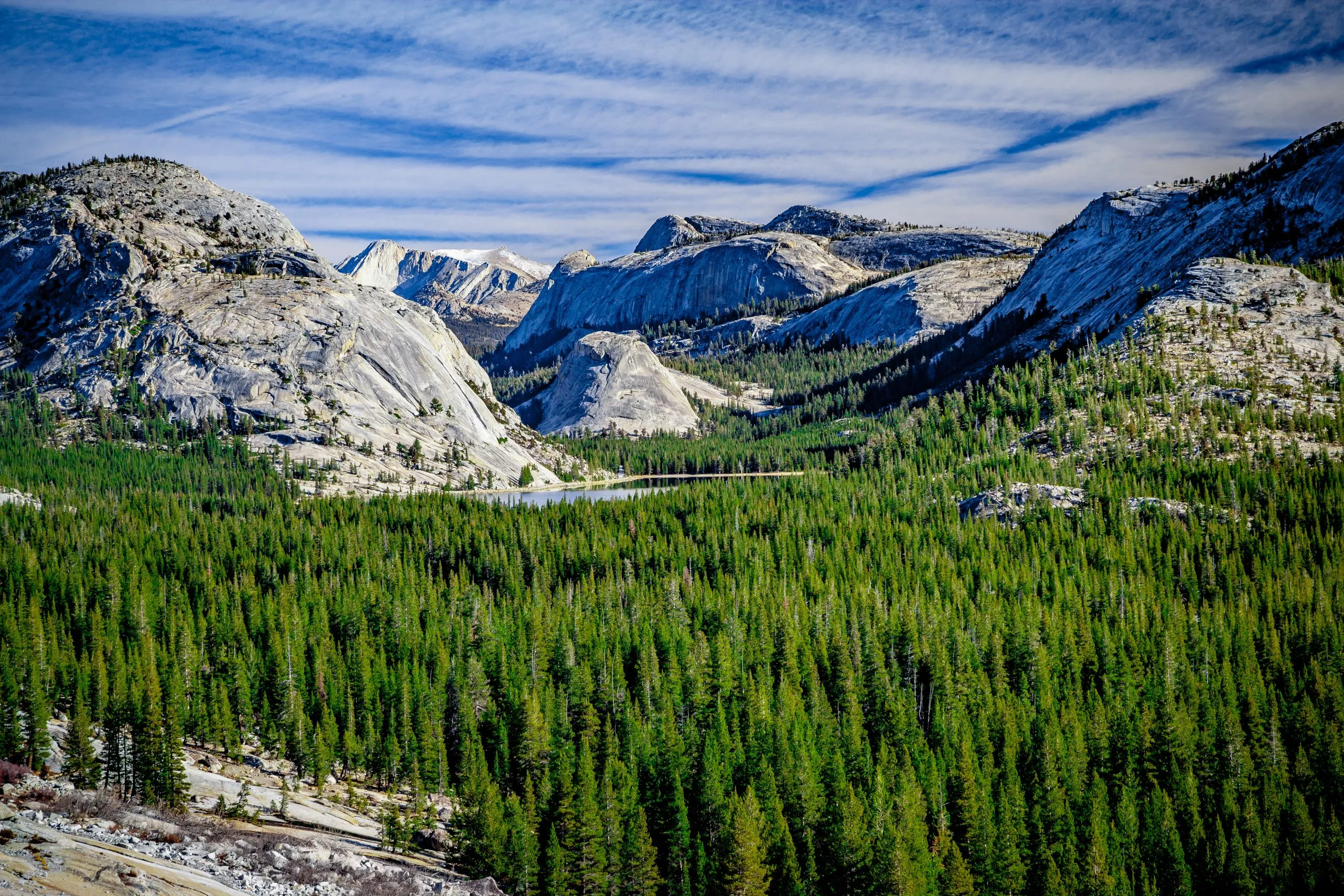
You’ll begin your day with a descent across a mixed land of granite and forested slopes. As you reach Tioga Road, you’ll follow it for a brief time, but only until you reach Tenaya Lake, where the path starts to meander across a flat stretch of land before starting to climb for the first time today. It leads you past the three Sunrise Lakes, circumventing Sunrise Mountain, and brings you into the welcoming embrace of Sunrise Camp.
Sunrise Camp
8.2 miles and 1800 feet of elevation gain/loss


Sunrise Camp bears its name for a reason, as you’ll learn in the morning. Facing east, the camp offers unimaginably beautiful sunrises. Waking up early will serve you well as you have a long day ahead today, even though it’s mostly downhill. The trail offers a mixed landscape of granite and woods, allowing you some shaded sections. The final miles lead you through the lush Echo Valley, following Merced River to Merced Lake, where you’ll find your camp.
Merced Lake Camp
10 miles and 520 feet of elevation gain / 2660 feet of elevation loss


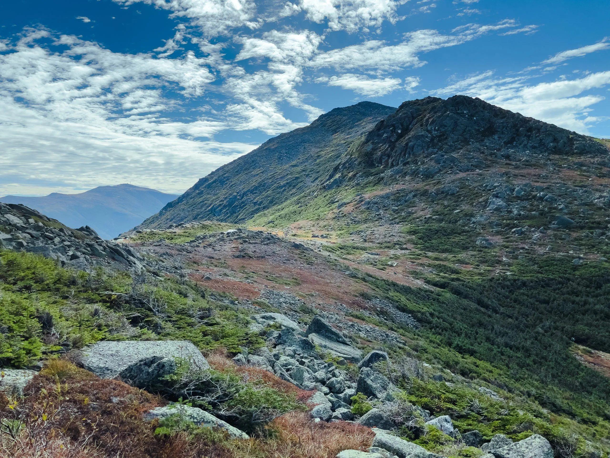
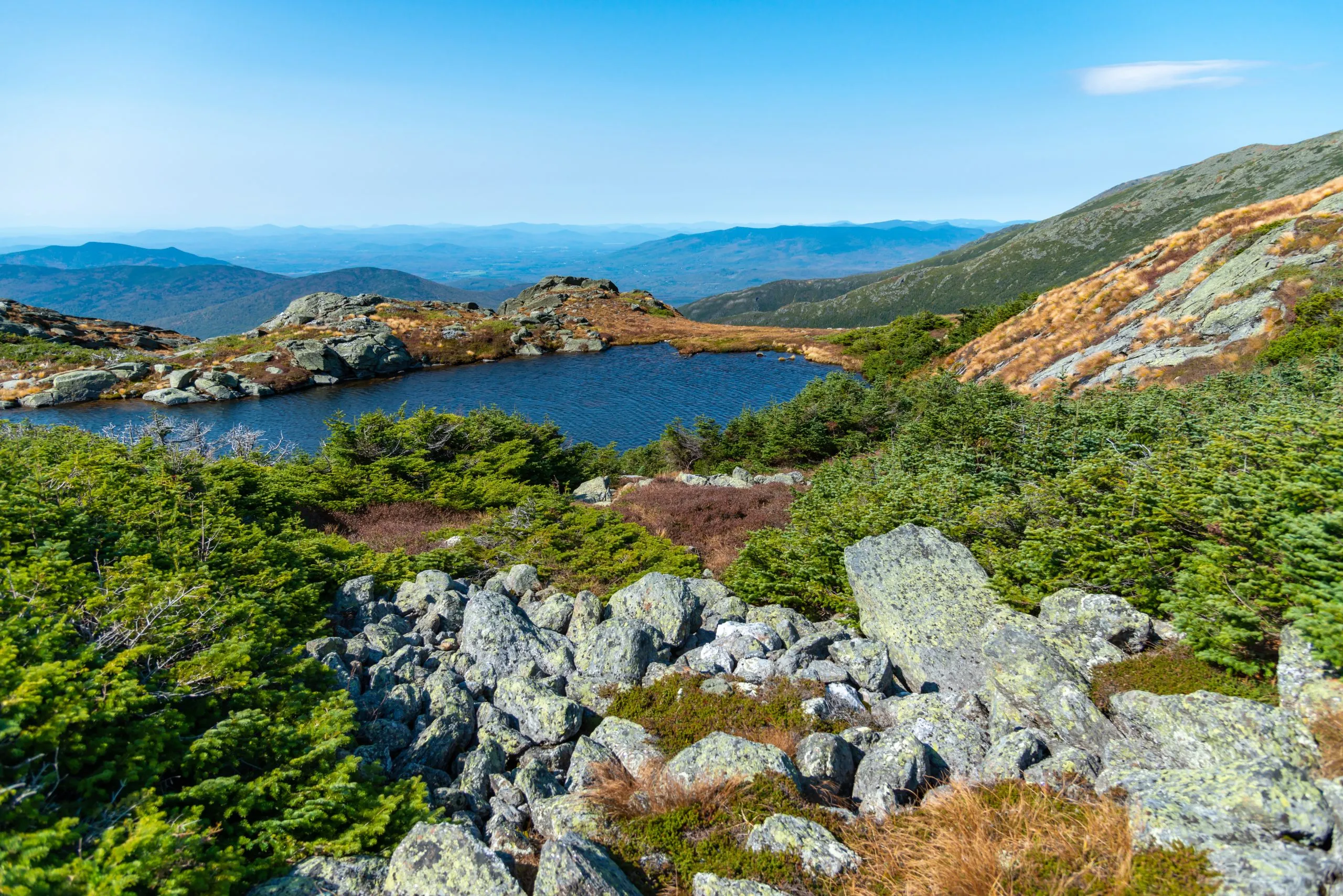
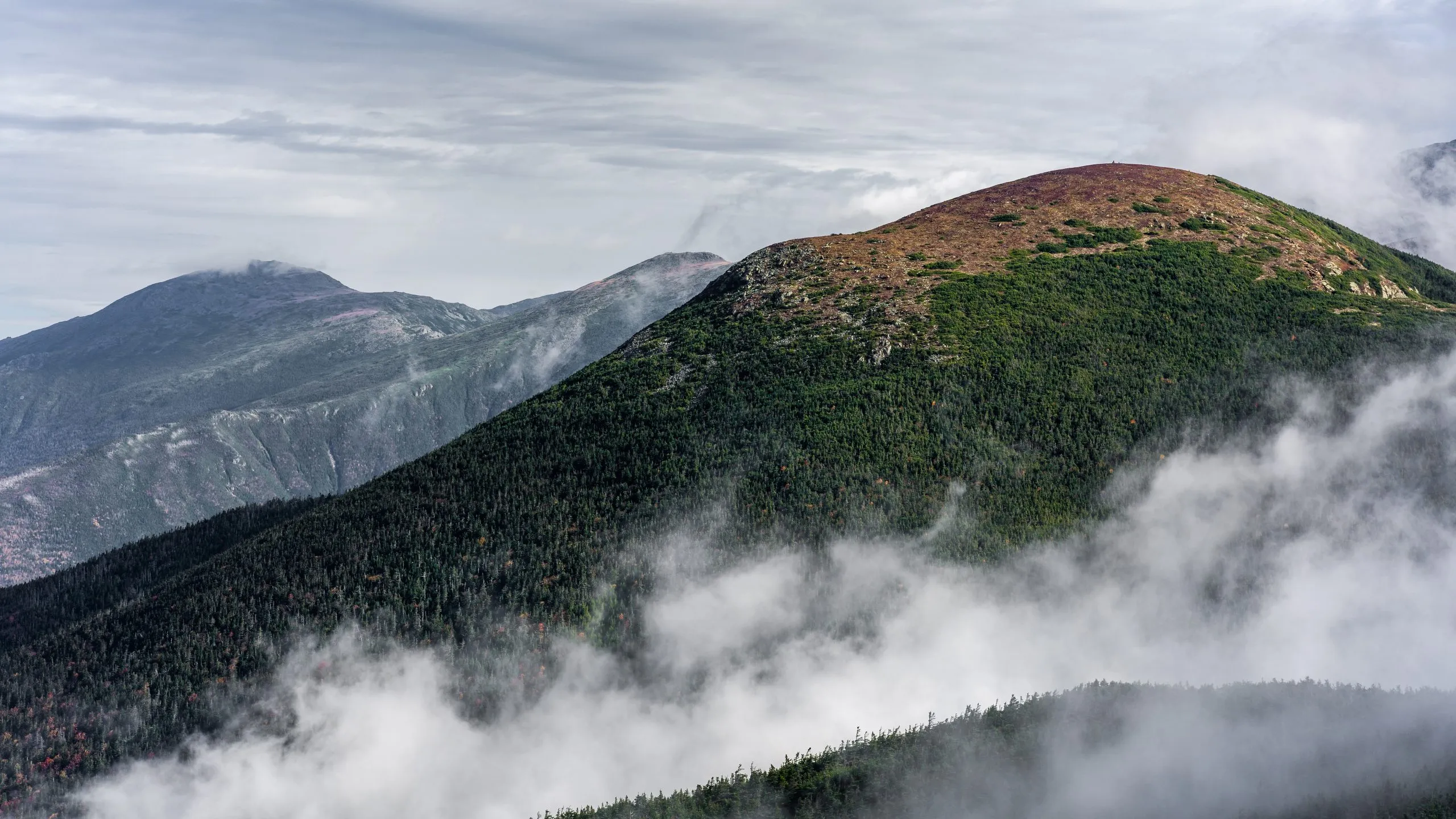
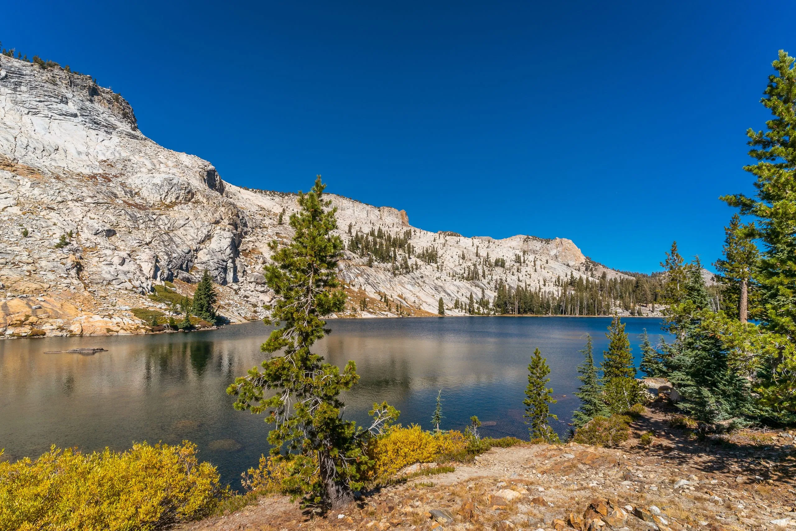
Your 5th day on the trail brings about the most challenging day of the week. Even though it’s shorter than other stages, it overcomes the most significant altitude difference. It takes you through Lewis Creek and past Florence Falls before steeply ascending across the Vogelsang Pass. You’ll hike toward Vogelsang Lake and soon reach Vogelsang Camp, the highest of the High Sierra camps.
Vogelsang Camp
8.2 miles and 3570 feet of elevation gain / 690 feet of elevation loss


The last day on the trail allows taking it easy after yesterday’s strenuous hike. The path runs almost exclusively downhill, crossing green meadows and winding in and out of the woods. You’ll hike along Rafferty Creek and cross Tuolumne River on a wooden bridge as you near the endpoint of your journey at Tuolumne Meadows. We can book an additional night at Tuolumne Meadows Lodge should you need it.
7.20 miles and 110 feet of elevation gain / 1520 feet of elevation loss


Self guided
Included in price
Optional Extras
What to bring to the tour
Description
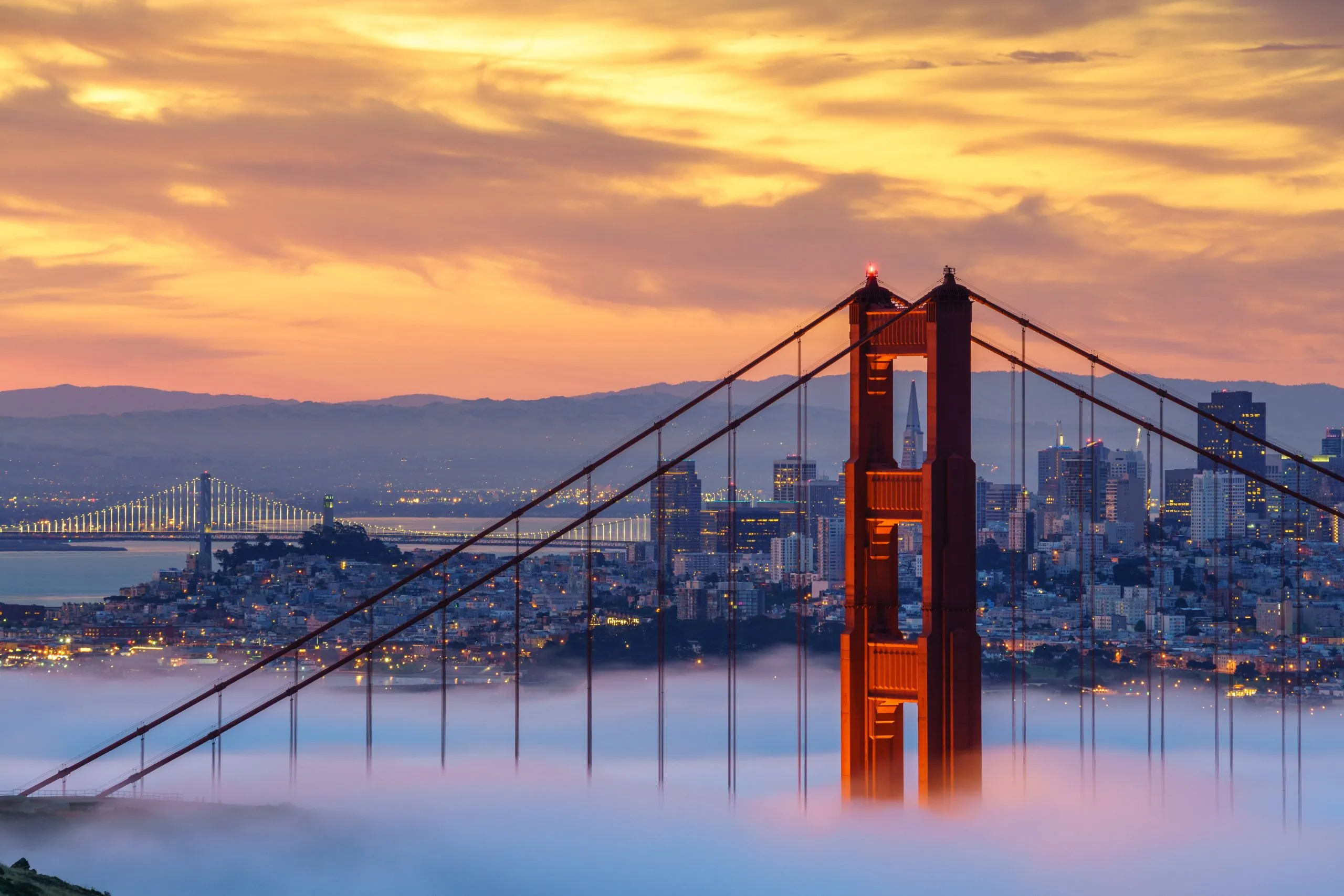
When one thinks of Yosemite National Park, towering icons like Half Dome and El Capitan often dominate the imagination, symbols of nature’s grandeur and the climber’s ultimate challenge.
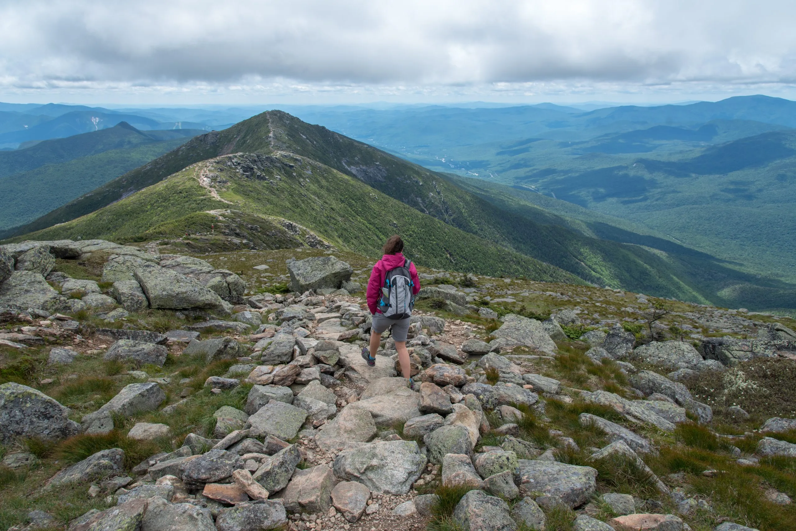
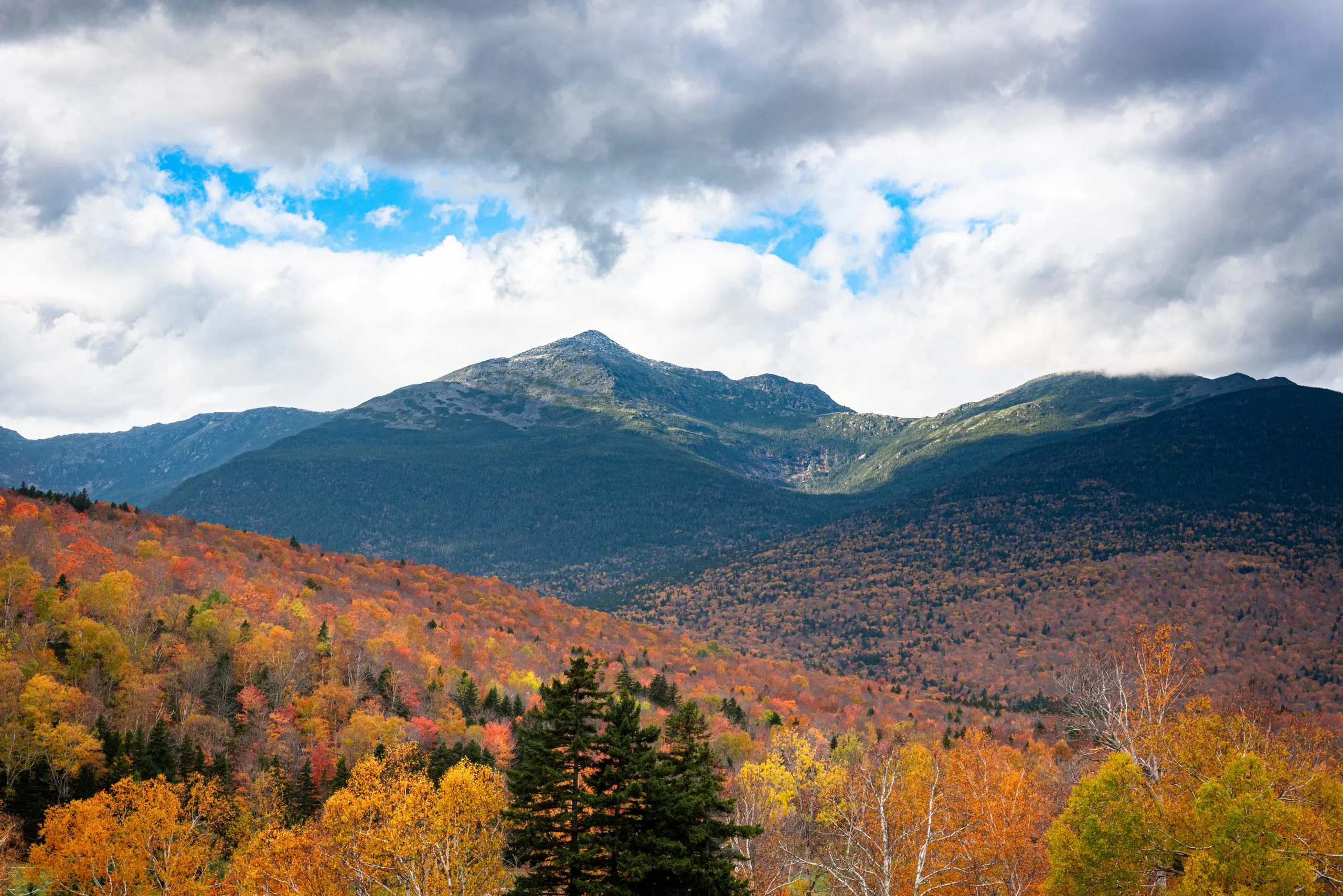
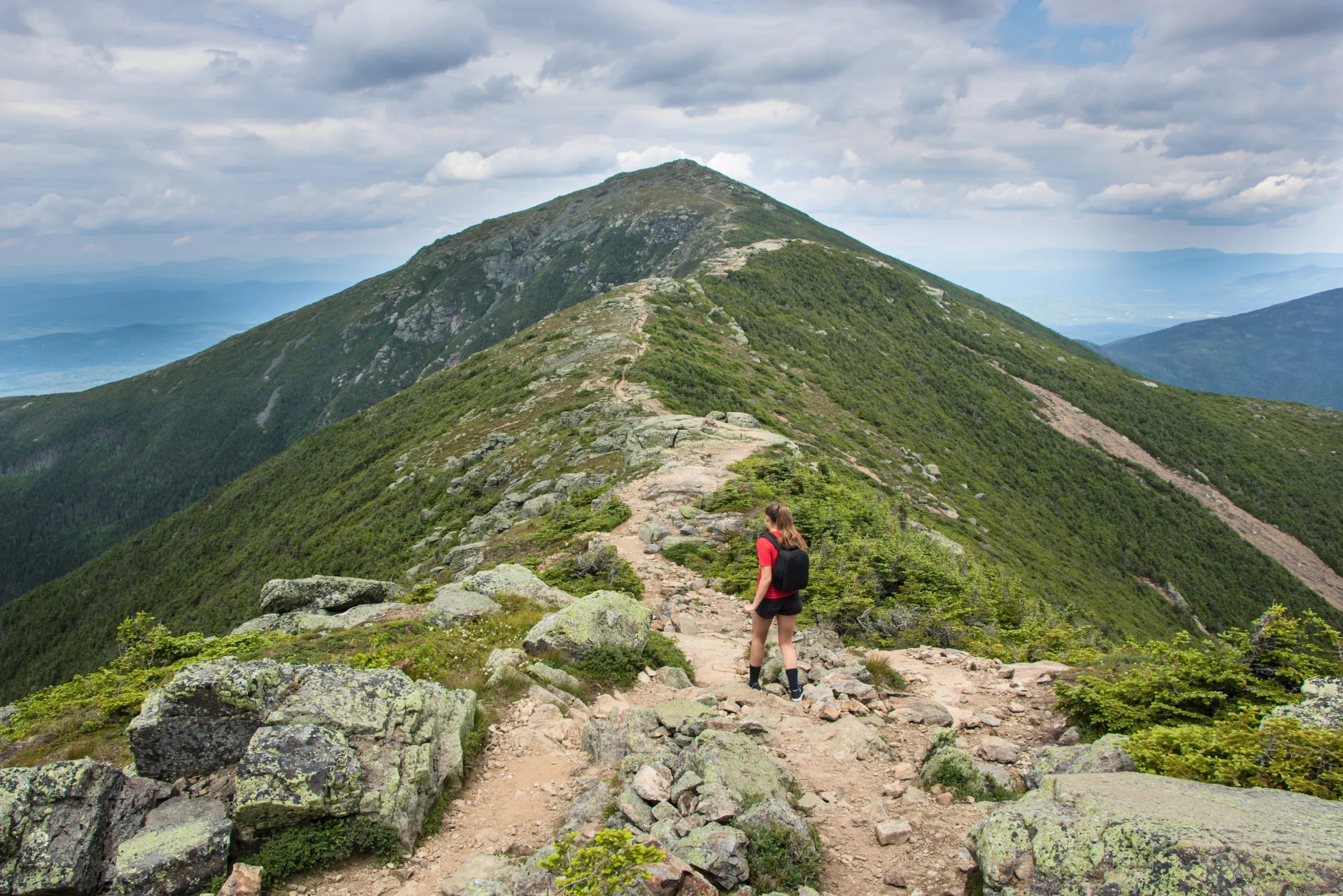
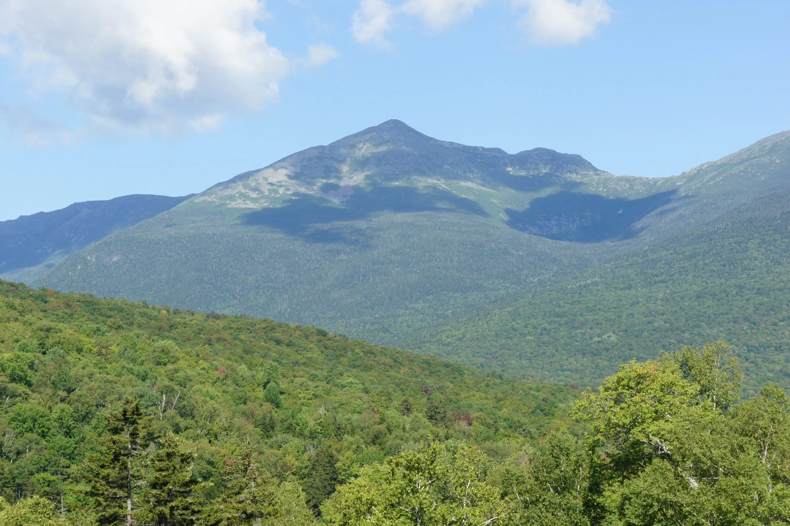
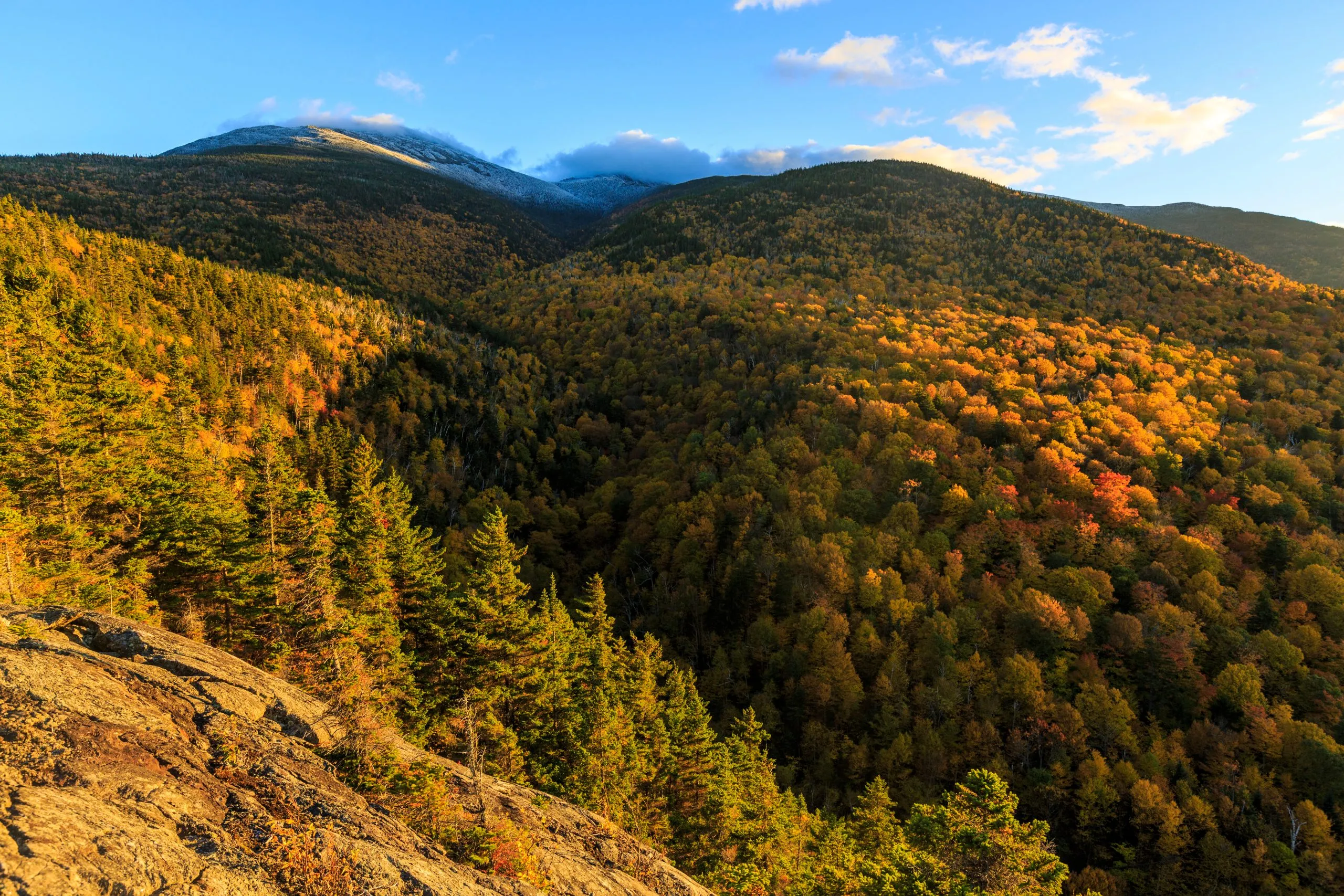
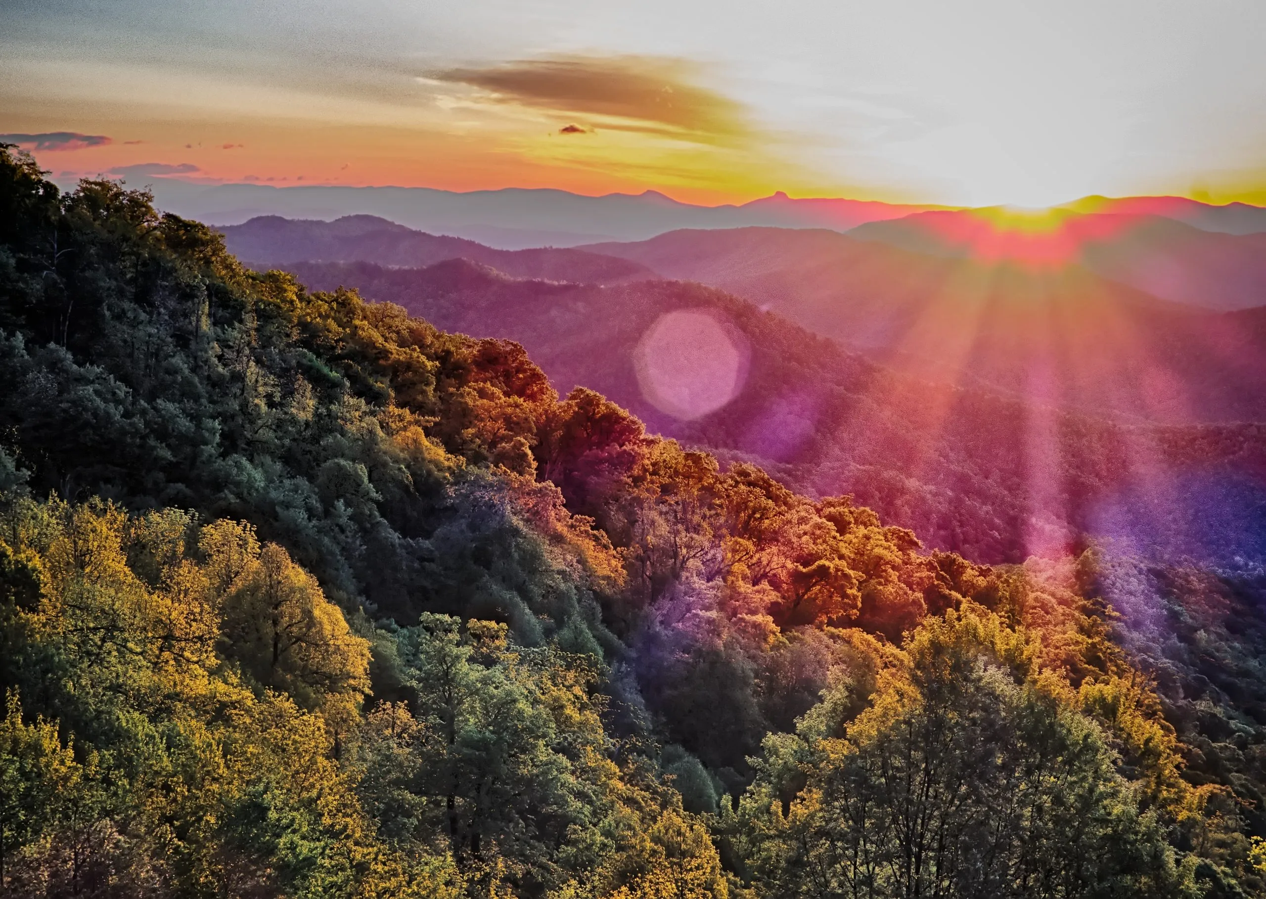
Yet, beyond these colossal sentinels lies Yosemite’s lesser-sung treasure – the High Sierra. This region of the park offers an exceptional loop hike that showcases the dramatic landscapes of Yosemite and reveals the serene beauty of its high-altitude wilderness.
This adventure begins in the expansive Tuolumne Meadows, a vast, verdant expanse woven with clear streams and dotted with granite domes.
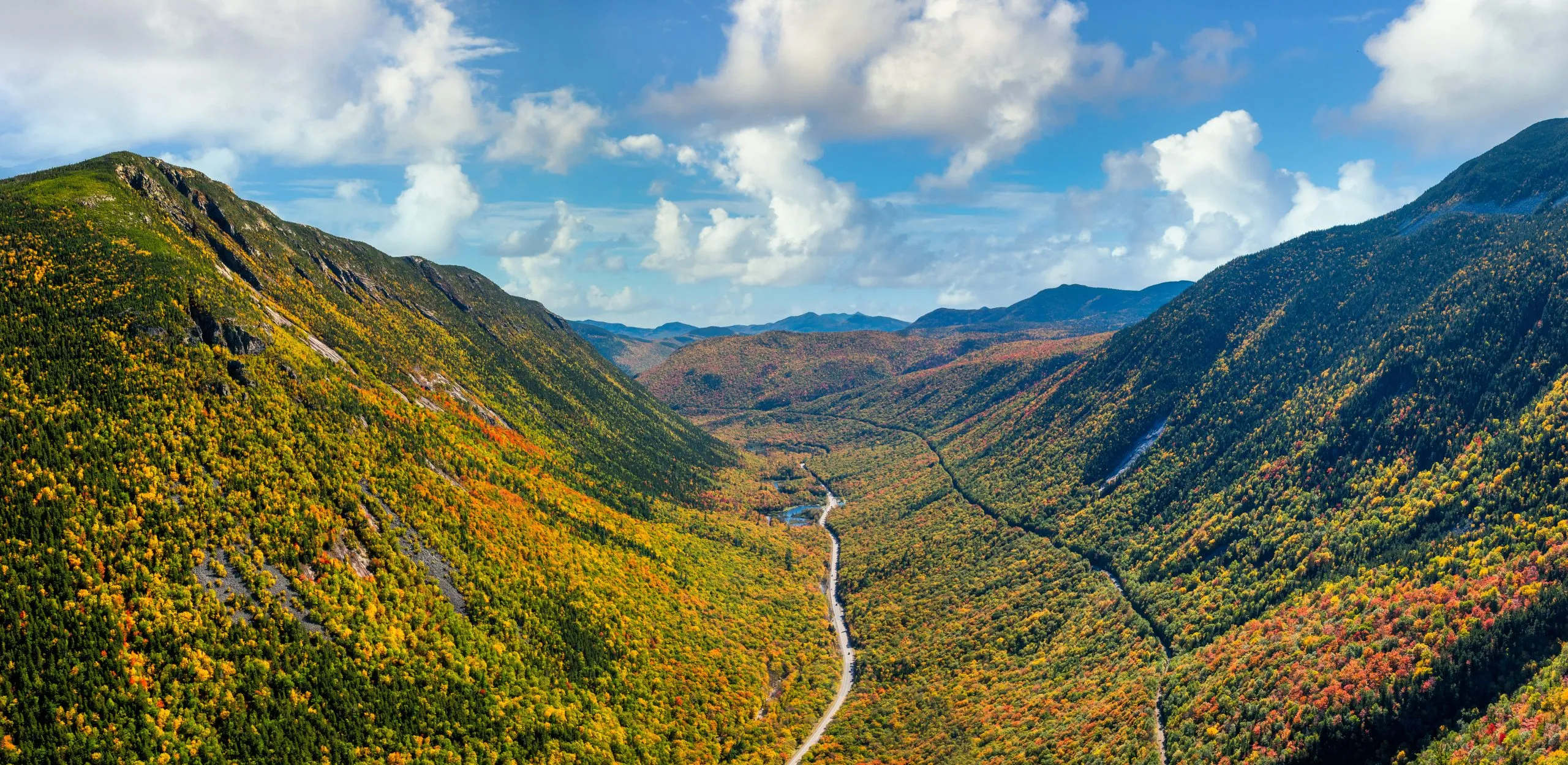
Each step of the trail unfurls the park’s beauty in a new light, from the refreshing waters of Glen Aulin, cascading through lush valleys, to the serene expanse of May Lake, cradled by towering peaks.
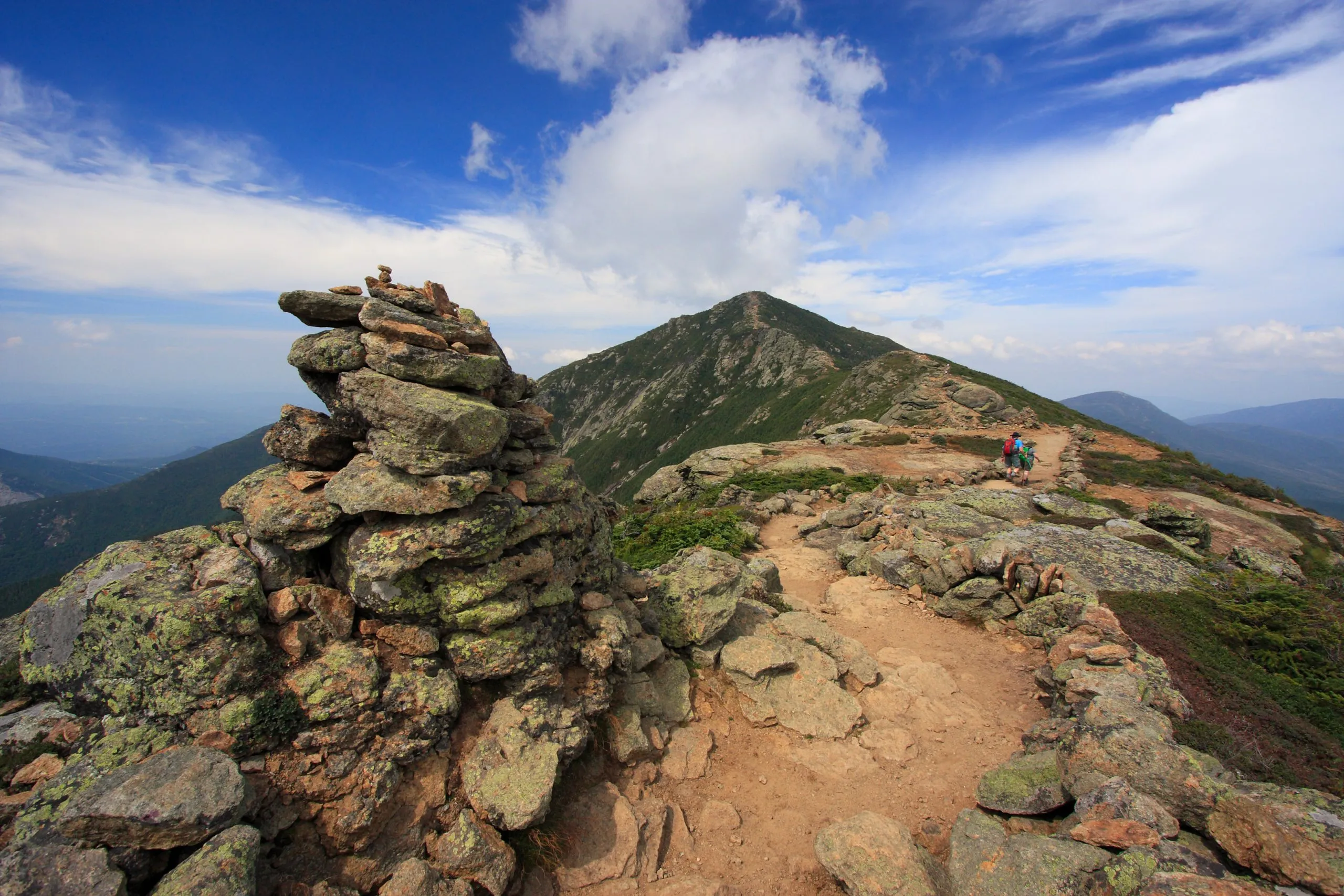
As you climb towards Vogelsang Pass, the path challenges you yet rewards every effort with panoramic views that capture the heart of Yosemite’s untamed wilderness.
This loop, though less traversed than the paths leading to Yosemite’s famed granite cliffs, is no less spectacular, connecting five unique mountain camps.
Around ten cabins at each High Sierra Camp provide basic yet comfortable sleeping facilities, complemented by communal meals that bring hikers together under the vast Yosemite sky.
Beyond the raw beauty of Yosemite, we facilitate your adventure with comprehensive support – from securing your accommodations in these coveted camps to providing you with a personalized travel booklet, GPS navigation tools, and 24/7 support. As such, you can fully immerse yourself in the experience with peace of mind.
Ready for the challenge and the beauty of Yosemite’s high country?
State
Mountain Hut System

High Sierra Camps
Start planning today!
Things to know
Hut-to-hut hiking allows you to trek from one fully serviced hut to another, traversing wilderness areas without the burden of heavy camping gear. Each hut provides a warm meal and a bed, ensuring comfort amidst the adventure.
Inn-to-inn hiking connects more populated areas, featuring stays in hotels or B&Bs for a less physically demanding journey. It’s ideal for those who prefer scenic walks with the comfort of modern amenities at day’s end.
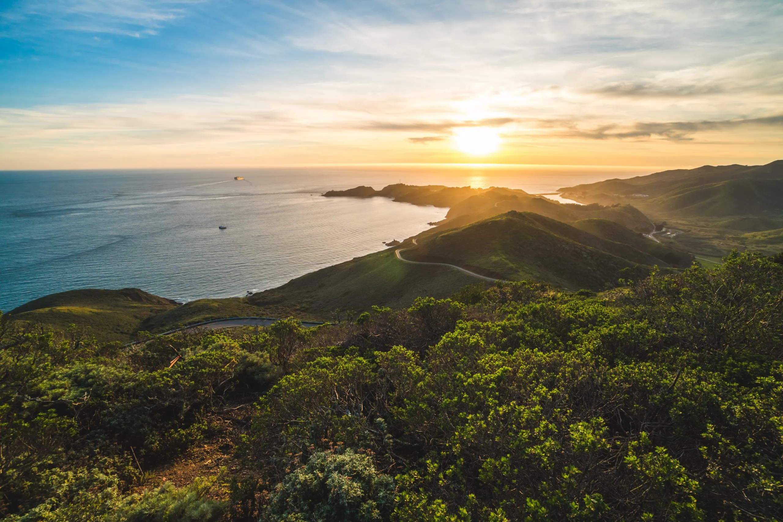
Our Northern California treks are beginner-friendly, offering comfortable inn-to-inn hikes through scenic landscapes. However, hikes in the White Mountains, Rogue River Canyon, and Yosemite involve more challenging wilderness trails suited for experienced hikers due to their rugged and remote nature.
All our hikes include meals at the start and end of each day, whether you’re staying in huts or hotels/B&Bs. This ensures you start your day energized and end it with a satisfying meal without needing to carry food supplies.
We equip you with a detailed, personalized travel booklet containing all the necessary information for a safe journey, alongside recommendations to enhance your experience. GPS navigation and a user-friendly navigation app are also provided to guide you along your chosen route.
Yes, our self-guided tours are designed for solo adventurers and groups. Enjoy the freedom of hiking at your own pace, supported by our comprehensive guidance and 24/7 assistance.
Luggage transfers are available on our inn-to-inn hikes, where your belongings are transported by vehicle to your next accommodation. However, due to the remote locations of the huts, accessible only by foot, luggage transfer is not feasible for hut-to-hut hikes.
Most huts operate seasonally, typically open during the summer, the ideal time for high mountain hikes. Our Northern California hikes, however, are accessible in spring and fall, offering a wider window for your adventures.

Self-guided
HASSLE-FREE
BOOK WITH CONFIDENCE
TRIED & TESTED ADVENTURES
UNBEATABLE SUPPORT
Similar Hiking Tours in the USA