Hiking the White Mountains: The Complete Guide
A practical guide to New Hampshire's major hiking areas, from Franconia Ridge to the Presidential Range.
Quick links
What Hiking in the White Mountains Involves
The White Mountains cover about 750,000 acres of New Hampshire, with a smaller stretch into western Maine, and hold 48 peaks above 4,000 feet. The named areas barely resemble each other, so the first choice is which area to hike, not which trail.
Trails range from hour-long waterfall walks to wilderness loops that take experienced hikers a full day. The Appalachian Trail runs the length of the range, past Moosilauke, Franconia Ridge and the Presidentials in turn, and the AMC's staffed huts follow that same corridor.
Mount Washington is the high point at 6,288 feet, and its summit once recorded a 231-mile-an-hour wind. Weather is the main hazard here, not distance. The higher summits hold winter conditions into spring and can turn severe in any month.
White Mountains Map and Main Access Roads
There is no single gateway to the range. Which road you take depends on the area, not the other way round. Route 302 runs through Crawford Notch, Route 3 through Franconia Notch, Route 16 through Pinkham Notch, and the Kancamagus Highway crosses the south.
The Kancamagus is the only road that crosses the range rather than skirting it, and several major trailheads open directly off it. Pinkham Notch, on Route 16, is the AMC's main visitor hub, with parking, information and shuttles.
Choosing a Hiking Area
Match the area to your experience before picking a trail. Each of the sections below suits a different kind of hiker:
Crawford Notch — accessible waterfall and summit hikes, the easiest place to start.
Franconia Ridge — an exposed full-day ridge loop.
Mount Moosilauke — a separate western summit with wide, uncrowded views.
The Pemi Loop — an expert wilderness challenge.
Kancamagus Highway — trailhead access and a scenic drive.
Wildcat — the best views of Mount Washington.
Bondcliff — remoteness and a long open ledge.
Huntington Ravine — advanced scrambling, dry conditions only.
The Presidential Range — the classic high traverse.
Crawford Notch
Crawford Notch suits hikers who want accessible summit and waterfall walks. Both are reached straight off Route 302, the pass most people drive through first. The Webster-Jackson Trail climbs to two open summits with views into the notch, about 6.5 miles round trip and 2,000 feet of climbing.
Arethusa Falls, about 2.6 miles round trip, is commonly called New Hampshire's tallest single-drop waterfall at around 140 feet. Trailhead lots sit along Route 302 inside the state park and fill on clear weekends.
The main risk is weather closing the open summits in cloud even when the valley below stays clear. The notch has carried travelers since 1771, and an 1826 landslide that killed the Willey family made it the range's first tourist draw.
Franconia Ridge
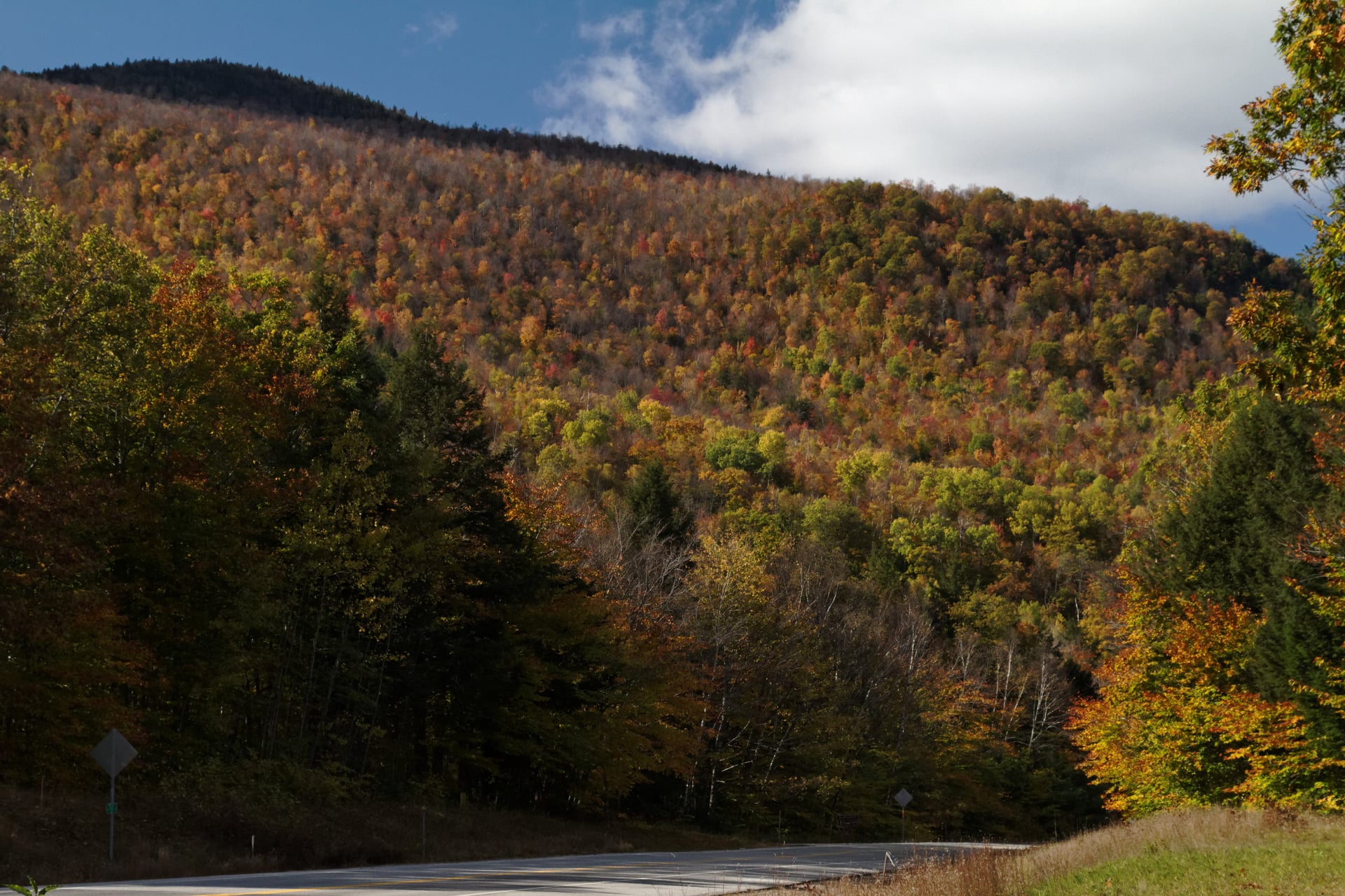
Franconia Ridge is an exposed 8.5-mile loop with close to 4,000 feet of climbing. It runs up the Falling Waters Trail and down the Old Bridle Path, linking three summits above treeline: Lafayette at 5,260 feet, Lincoln at 5,089 and Little Haystack at 4,780.
Most hikers finish it in one long day, since there is nowhere sheltered to stop partway. It starts from Lafayette Place off Route 93 in Franconia Notch, and the lot fills fast on clear summer weekends.
Almost the whole ridge is above treeline, with no escape from wind or storms. That exposure is what makes it the area's classic traverse and its main hazard at once. Cannon Mountain, another 4,000-footer, faces it across the notch and carries the state's only aerial tramway.
Mount Moosilauke
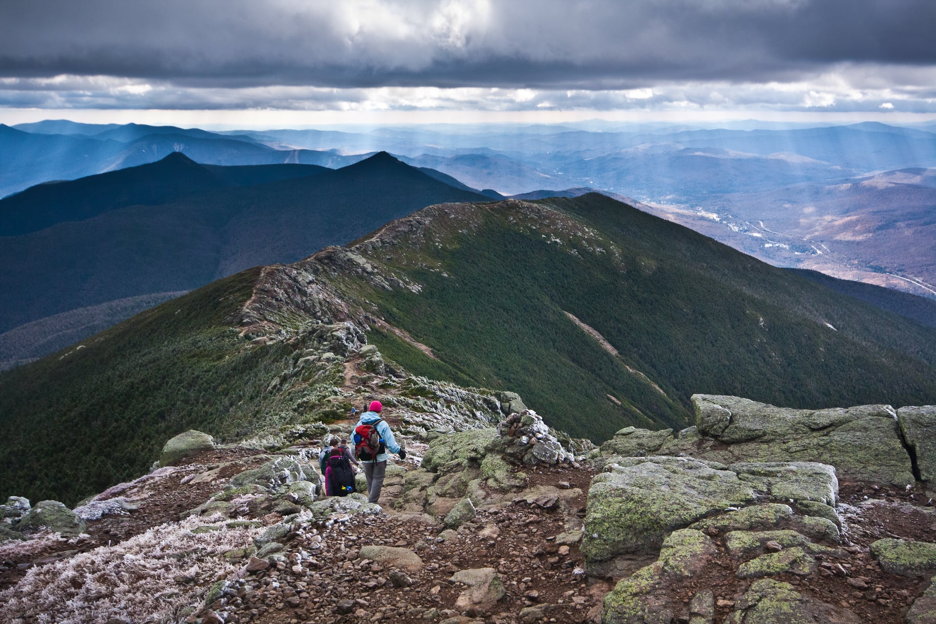
Moosilauke is a wide-open western summit that stands apart from the rest of the range. Its clear views don't compete with a dozen neighbours, and at 4,802 feet it is the westernmost of the 48 four-thousand-footers.
The Gorge Brook Trail from the Moosilauke Ravine Lodge is the most direct line to the top, about 7.5 miles round trip. Dartmouth College owns the base, and its Outing Club maintains the trails entirely with student volunteers.
It is the first four-thousand-footer a northbound Appalachian Trail hiker meets in New Hampshire. That makes it a common warm-up before the harder ranges to the east.
Pemigewasset Wilderness and the Pemi Loop
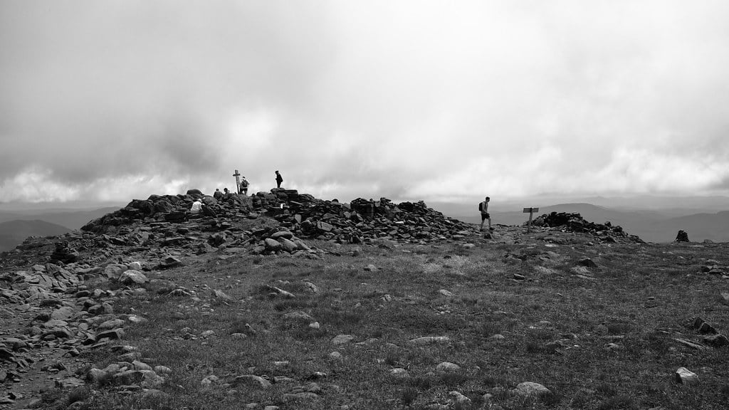
The Pemi Loop is a 31-to-32-mile wilderness challenge with close to 9,000 feet of climbing. It is regularly named among the hardest single days in American hiking, collecting ten of the range's 4,000-footers in one push, sometimes stretched to twelve.
It starts from the Lincoln Woods trailhead on the Kancamagus Highway, deep into the largest roadless area in the Whites. Once you are out on the Bonds there is no short way back to a road. The last miles come after most of the climbing is already done.
Most parties start before dawn to give themselves the full day the loop demands. It is a route for fit, experienced hikers only, not a first trip in the range.
Kancamagus Highway Trailheads
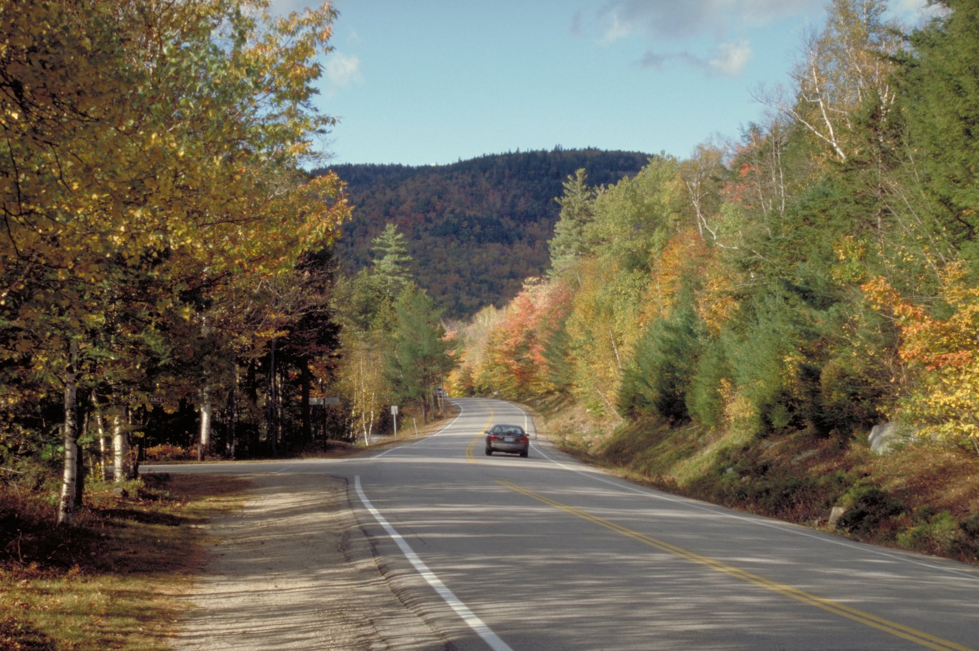
The Kancamagus is as much a hiking artery as a scenic drive. Several major trailheads open directly off it, including Lincoln Woods for the Pemi Loop and Bondcliff. It runs 34.5 miles between Lincoln and Conway, the only road that crosses the range.
There is no gas station along the route, so fill up in Lincoln or Conway first. Sabbaday Falls, a 0.7-mile round trip, is the most-visited quick stop. Foliage weekends in early-to-mid October slow the road to a crawl. Start early or go midweek to get ahead of it.
Wildcat and the Carter-Moriah Range
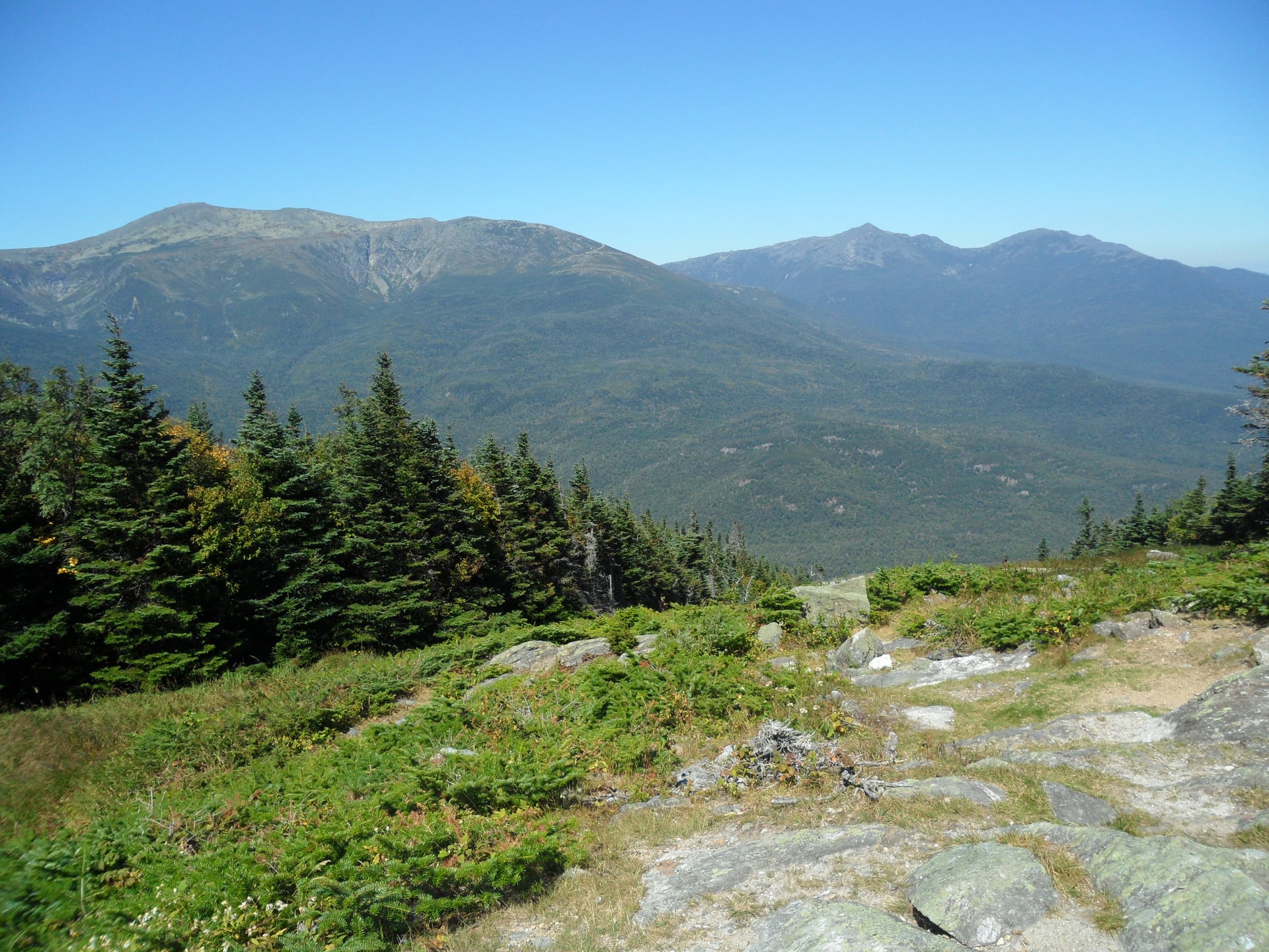
Wildcat is where to go for the best head-on view of Mount Washington. Directly across Pinkham Notch, it takes in both Tuckerman and Huntington ravines in one glance. Its high point is 4,422 feet, reached by the Wildcat Ridge Trail over five named sub-summits.
The trail shares its tread with the Appalachian Trail and is steep and rocky in places. In winter the same slopes run a working ski area with about 2,100 feet of vertical.
Start from Pinkham Notch on Route 16. It is the same hub used for Mount Washington's eastern approaches.
Bondcliff
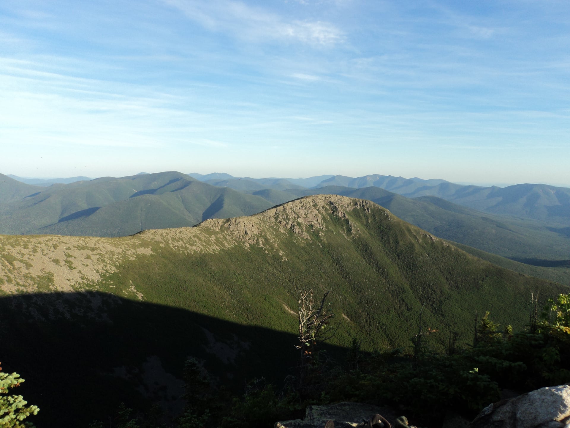
Bondcliff's standard approach is roughly nine miles each way. That distance is the whole point of it: it keeps the crowds away from one of the best viewpoints in the Whites. The round trip carries about 3,100 feet of climbing to a 4,265-foot summit.
The approach runs the Lincoln Woods, Wilderness and Bondcliff trails in sequence from the Kancamagus. The payoff is a long open ledge with views in nearly every direction.
It is too remote for a day hike by anyone but strong, experienced walkers. It is also too far out for a hut itinerary, so it stays quiet even in summer.
Huntington Ravine
Huntington Ravine is the range's steepest maintained trail, and it needs dry conditions and scrambling experience. By some accounts it is the hardest maintained trail in the Northeast, a glacial cirque on Mount Washington's east side.
The headwall alone gains around 1,400 feet in under a mile, over exposed rock rather than a footpath. It holds snow into late May or June, and the ravine has a long avalanche history. This is not a route to attempt wet, iced or in any doubt.
It is named for Joshua Huntington, a 19th-century state survey geologist who worked this side of the mountain.
The Presidential Range
The Presidential Range is the classic high traverse, about 23 miles with 9,000 feet of climbing across seven named summits. Three of the AMC's staffed huts sit directly on the ridge, which holds Mount Washington, Adams, Jefferson and four more.
This overview only sketches it, because it earns a full guide of its own. We cover the route, the huts, the weather and every figure in our dedicated guide to the Presidential Traverse.
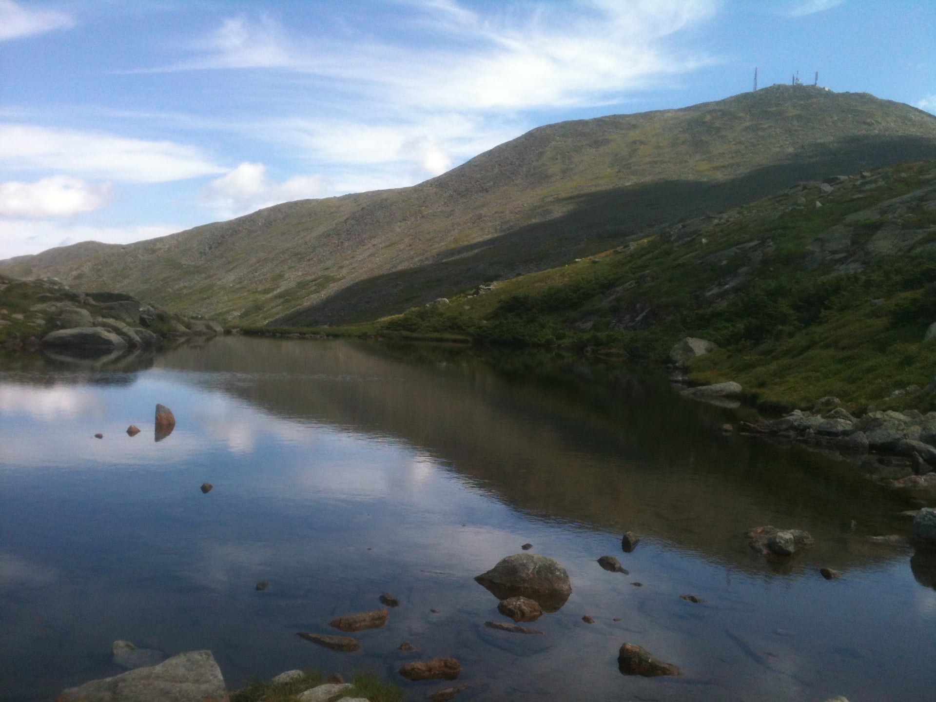
Weather and Above-Treeline Safety
A clear valley forecast tells you nothing about the summits. Cloud can sit on an exposed ridge while the valley floor stays sunny, and the higher summits carry their own weather that shifts fast.
The White Mountain National Forest manages the land, but for conditions above treeline read the Higher Summits Forecast rather than a town forecast. Set a turnaround time before starting an exposed ridge walk. Hold to it whatever the summit looks like when you set out.
Water is reliable at the huts but not along drier ridgelines like Franconia or the approach to Bondcliff, so carry more than feels necessary. A current paper map earns its keep once you are above the trees.
Getting There and What to Bring
Choose the access road by the area, since there is no single park entrance. Route 302 reaches Crawford Notch, Route 3 Franconia Notch, Route 16 Pinkham Notch, and the Kancamagus Highway the southern trailheads.
July through September gives the most reliable weather, though the huts' own season runs early June into mid-October. Early season can still hold snow in the higher ravines after the valleys have warmed.
Pack layers for weather that shifts fast above treeline, more water than the distance suggests, and a paper map. Trailhead lots for Franconia Ridge and the Pemi Loop fill fast on clear weekends. An early start or a weekday visit helps.
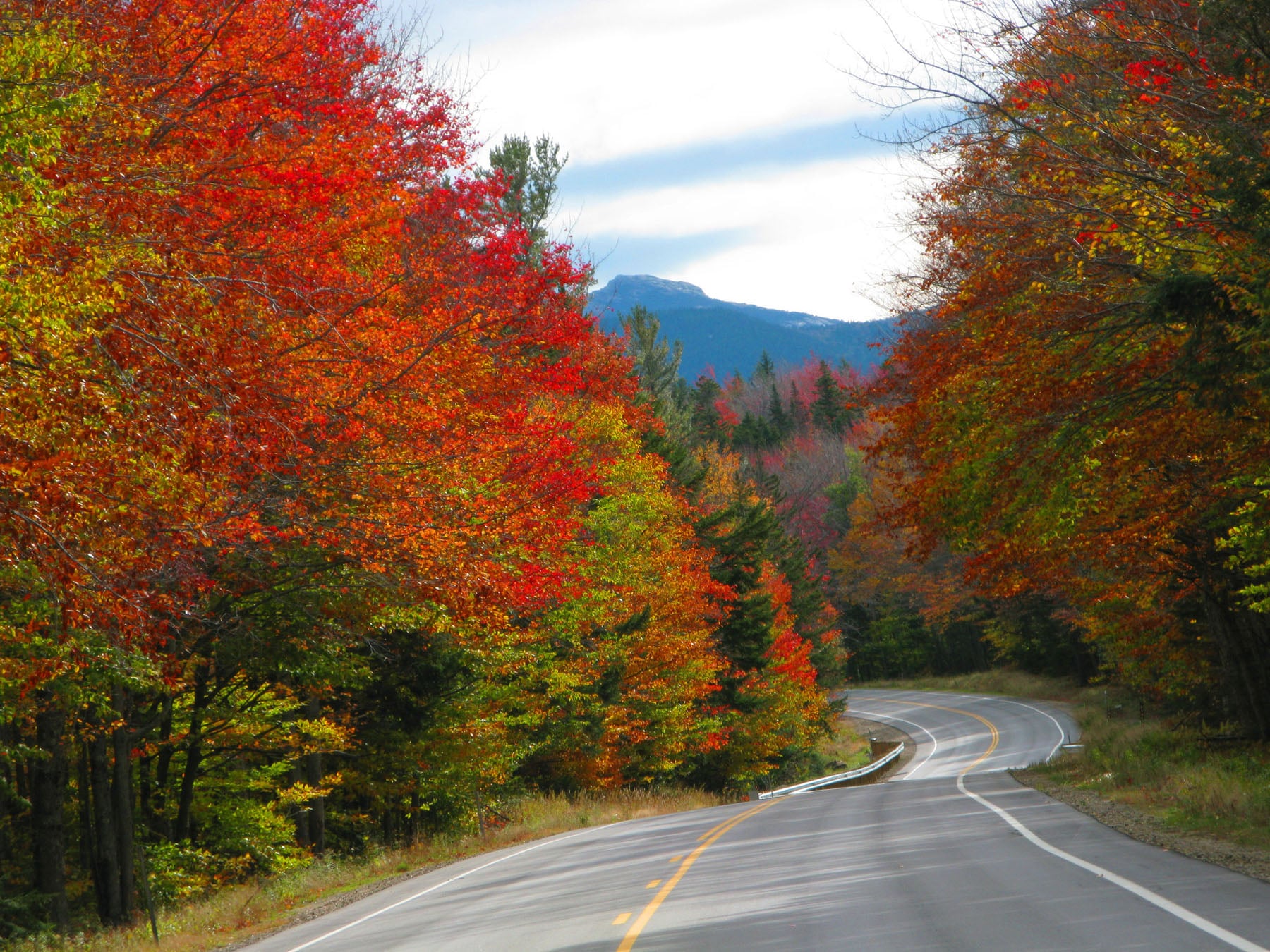
Choosing Where to Start
For a single big day, Franconia Ridge is the most approachable of the range's two classic exposed traverses. It runs about 8.5 miles against the Presidential Traverse's 23, and neither needs a hut booking.
For a first, easier outing, Crawford Notch's waterfall and summit walks need no exposure or scrambling. For the hardest single day, the Pemi Loop or the Huntington Ravine headwall are the two most often named.
Choose a hut route when you want a multi-day traverse without carrying camping gear. Our routes link the AMC huts two ways: a four-day Presidential Traverse, and a nine-day Appalachian Trail crossing from Franconia's shoulder to Carter Notch.
Tell us which part of the range you want to see and we'll match the route to it.
Frequently Asked Questions


HASSLE FREE
We handle itineraries, accommodations, and anything else you prefer not to deal with, so you can enjoy a carefree hike.

BOOK WITH CONFIDENCE
We are a financially protected company, fully bonded and insured, keeping your money safe and allowing you to travel with confidence.

TRIED & TESTED ADVENTURES
Only the best hut to hut hikes in the USA, cherry-picked by our local team with an in-depth knowledge of the region.

UNBEATABLE SUPPORT
Our 24/7 customer support is where we show our passion, bringing you a better experience by making your well-being our number one priority.