Presidential Traverse: The Best Hut-to-Hut Guide to 7 Summits
Seven presidential summits in one ridge walk above the treeline, in a day or four, with the real climb of each version, the huts, the weather and the way out.
Quick links
Don't want to read all this?
We've planned 2,000+ hiking trips. Send your dates, fitness and group size — we'll map the route and book every night.
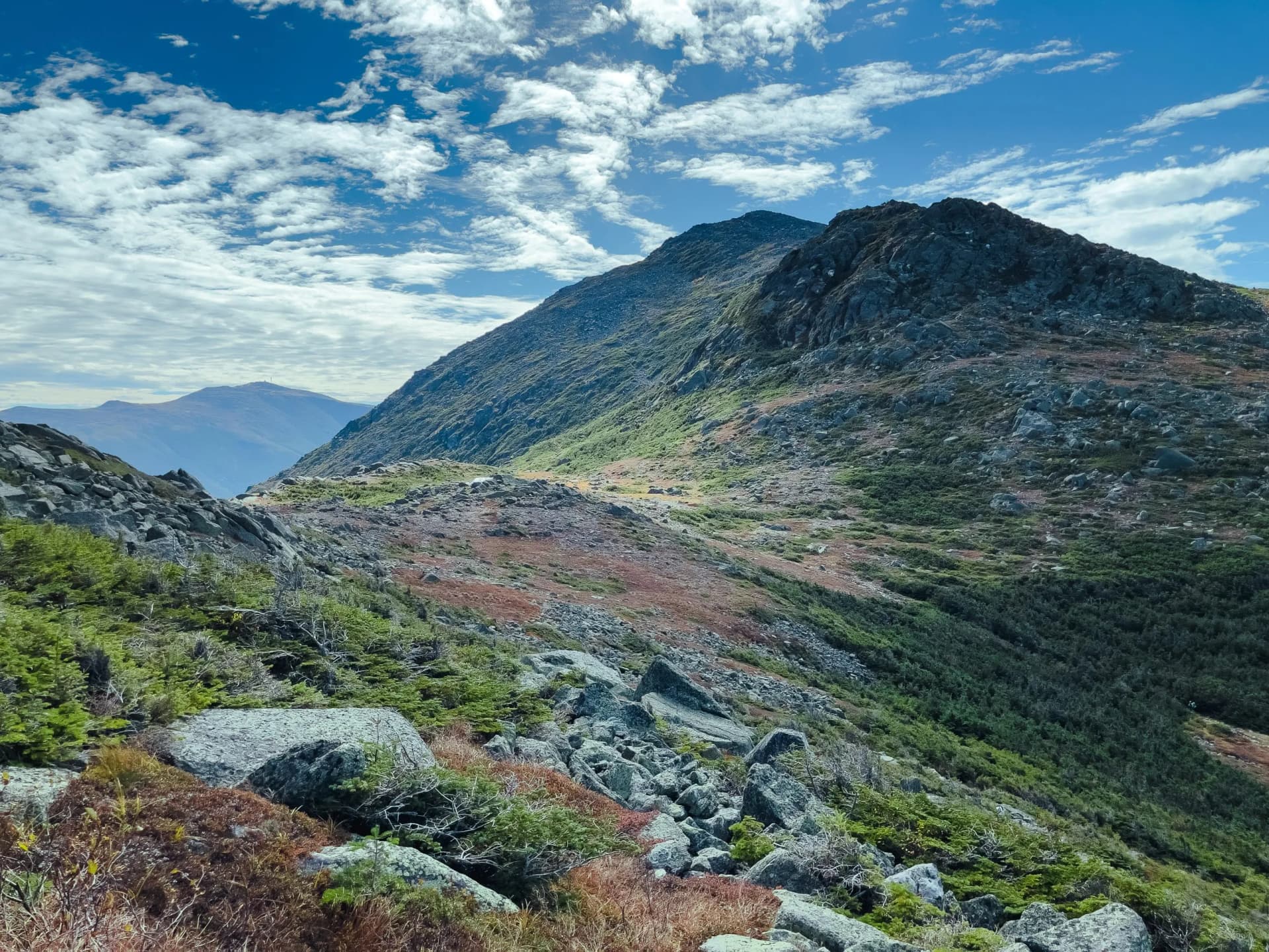
The Presidential Traverse is a continuous ridge walk over the highest ground in the northeastern United States. Most of it sits above the treeline, and that exposure is the reason it is a serious day rather than just a long one. There is very little shelter between one end and the other.
People walk it in anything from one very long day to four unhurried ones. This guide gives the distance, the climb and the height of every summit, and for our own four-day version the gain and the loss for each separate day.
What the Presidential Traverse Is
The Presidential Range runs through the White Mountains of New Hampshire, inside a national forest of 750,000 acres. A presidential range traverse means starting at one end of that range and finishing at the other. Nothing in the definition names a particular trail, which is why two people who both walked it may have taken different lines.
What the definition insists on is the summits. A traverse crosses the peaks named after presidents, and there are seven of them: Madison, Adams, Jefferson, Washington, Monroe, Eisenhower and Pierce. Three others on the same ridge are not presidents at all. Mount Clay is named for a Kentucky senator, Mount Franklin for Benjamin Franklin, and Mount Jackson for a geologist rather than Andrew Jackson.
The Peaks, in Order
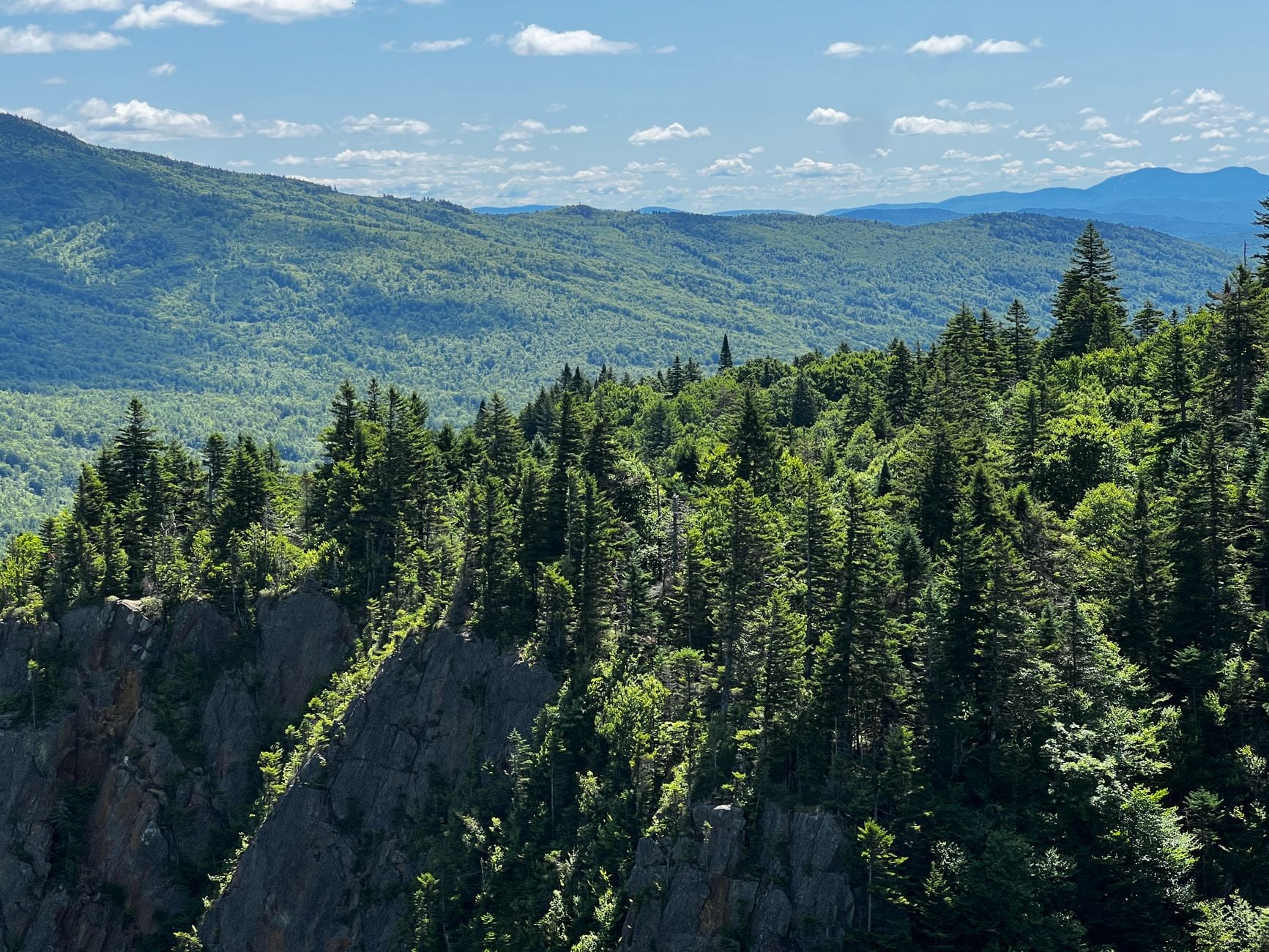
Walked from the northern end, the seven presidential traverse peaks come in a fixed order. Madison stands at 5,367 feet, Adams at 5,793 and Jefferson at 5,712. Adams is the second highest peak in the northeastern United States, so the hardest climbing is done in the first third.
Order | Summit | Height |
1 | Mount Madison | 5,367 ft |
2 | Mount Adams | 5,793 ft |
3 | Mount Jefferson | 5,712 ft |
4 | Mount Washington | 6,288 ft |
5 | Mount Monroe | 5,372 ft |
6 | Mount Eisenhower | 4,757 ft |
7 | Mount Pierce | 4,310 ft |
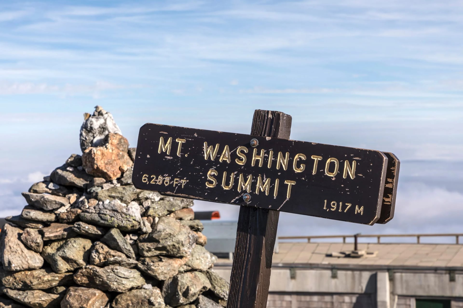
Mount Washington is the high point and sits near the middle, at 6,288 feet. Everything after it steps down: Monroe at 5,372 feet, Eisenhower at 4,757 and Pierce at 4,310. Clay lacks the 200 feet of prominence a separate summit needs, and Franklin is a sub-peak of Monroe, so collecting both adds distance without adding presidents.
How Long It Is, and How Much You Climb
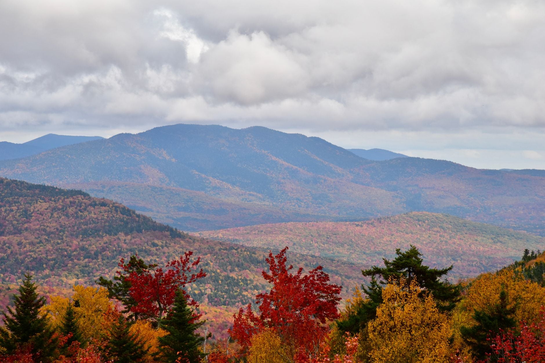
The presidential traverse hike is usually quoted at about 23 miles with 9,000 feet of elevation gain. That assumes you cross the summits, rather than contouring round them on the side trails. It is the version most hikers mean, and the one to plan against.
Quoted figures vary more than you would expect. A version staying on the through-trails comes in at 20.4 miles but skips the summits, collecting the sub-peaks pushes it to 22.8 miles and 10,041 feet, and a plotted line from one trailhead to the other can read as little as 18.5 miles with 8,130 feet of ascent. Where you start and which summits you tag move the total by several miles.
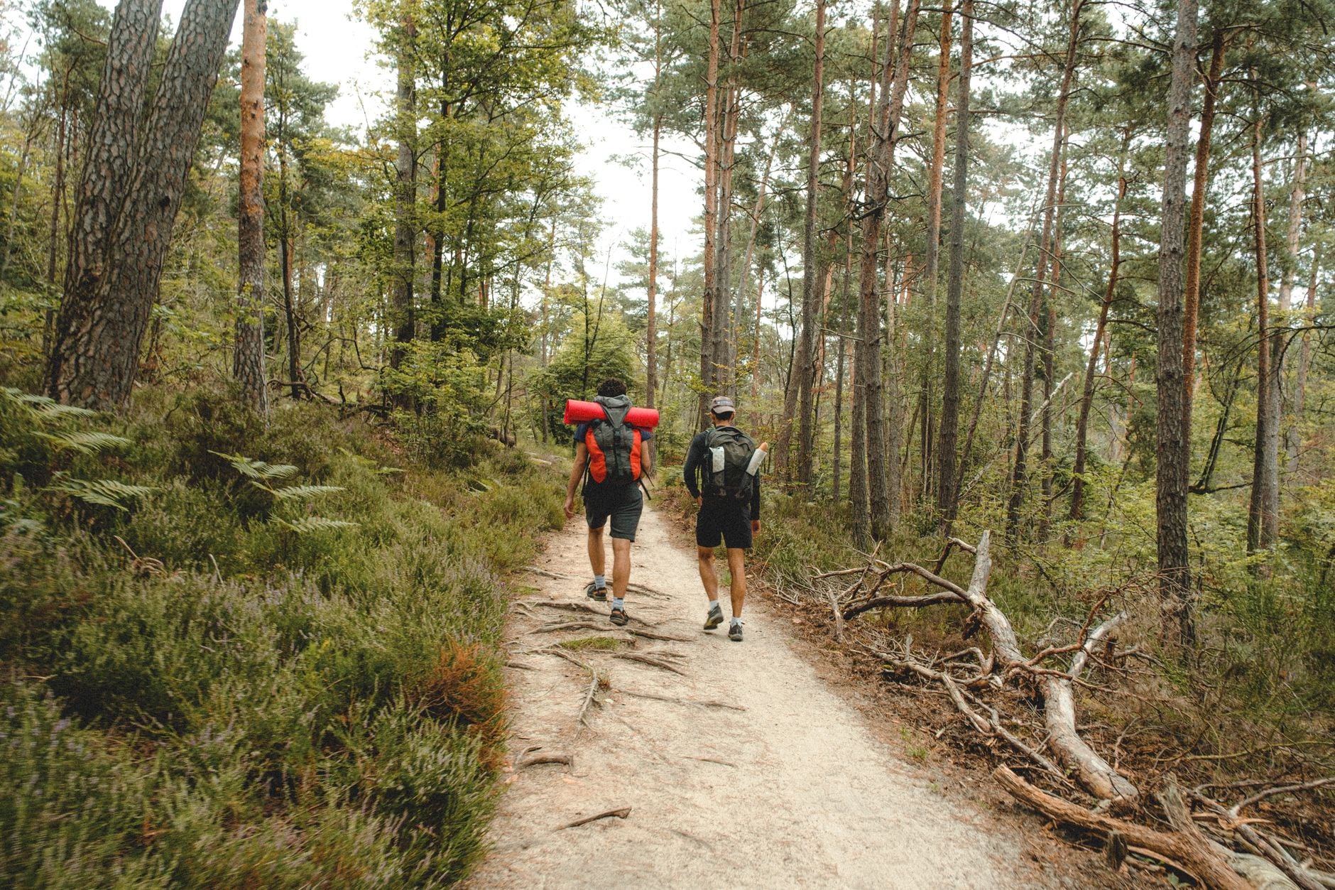
The climbing matters more than the mileage. Nine thousand feet over 23 miles is roughly 390 feet of ascent in every mile, held for the whole route, and almost none of it is on smooth ground. Take the climbing figure as the honest measure, because it varies far less than the distance does.
The Route, and Which Direction to Walk It
The presidential traverse route is not one trail but a chain of named paths. The Valley Way is the standard northern approach, leaving the Appalachia parking area on US Route 2 and climbing to Madison Spring Hut. The Gulfside Trail then carries the crest south-west over Adams, Jefferson and Clay to the summit cone of Mount Washington, skirting the rim of the Great Gulf the whole way.
The Crawford Path takes the southern half, and it is the oldest continuously maintained hiking trail in the United States. Ethan Allen Crawford and his father cut it in 1819. Its 8.5 miles run from Crawford Notch to the summit of Washington, and walked southbound it drops past Lakes of the Clouds and over Monroe, Eisenhower and Pierce to Mizpah Spring Hut, where the Webster Cliff Trail finishes the job.
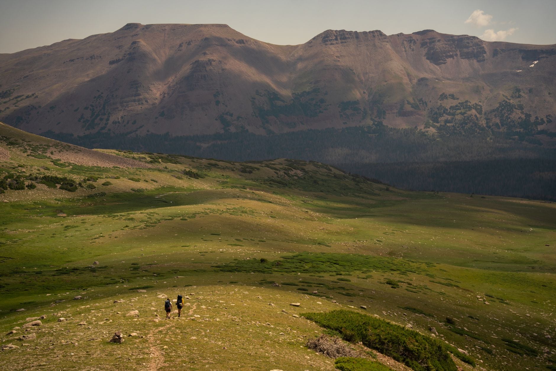
Direction changes the shape of the walk rather than the total effort. North to south front-loads the work: the climb from Appalachia gains 4,040 feet in the first 3.9 miles and puts the three highest summits behind you while you are fresh. South to north gives an easier start and saves the steepest, rockiest ground for tired legs.
The Presidential Traverse Map
Seen from above, the traverse is one unbroken ridge line. It starts at Randolph on US Route 2, climbs straight onto the crest, and runs south-west over the summits before dropping into Crawford Notch at the far end. The three huts sit 4.6 to 7 miles apart along it. Both ends of the line are road passes, so you can be dropped at one and collected at the other.
On a topographic sheet the Great Gulf is the feature to find first. It is a deep bowl bitten out of the eastern side, with the contour lines packed hard against its rim. Find that and the rest of the range orients itself around it.
Read the contour spacing rather than the mileage. The bands sit tight on the northern climb and on the drop off Pierce, and they open out along the crest where the walking is level but slow. A flat-looking mile up there can still take an hour, because the surface is boulder rather than path.
Map
Mark two things before you go: the water, because every hut is a filling point and there is almost nothing between them, and the way off the ridge. Carry a current paper sheet rather than a screenshot. Above the treeline paper keeps working when cloud arrives and the battery does not, and the line up there is marked by cairns rather than by any worn tread.
Doing It in One Day
A presidential traverse in one day is a genuine undertaking, and it is the version people search for most. Fit hikers take between 12 and 20 hours, and the range is that wide because the rock slows people far more than they expect. A plotted line over the ridge estimates just under 13 hours of moving time, before anyone stops to eat.
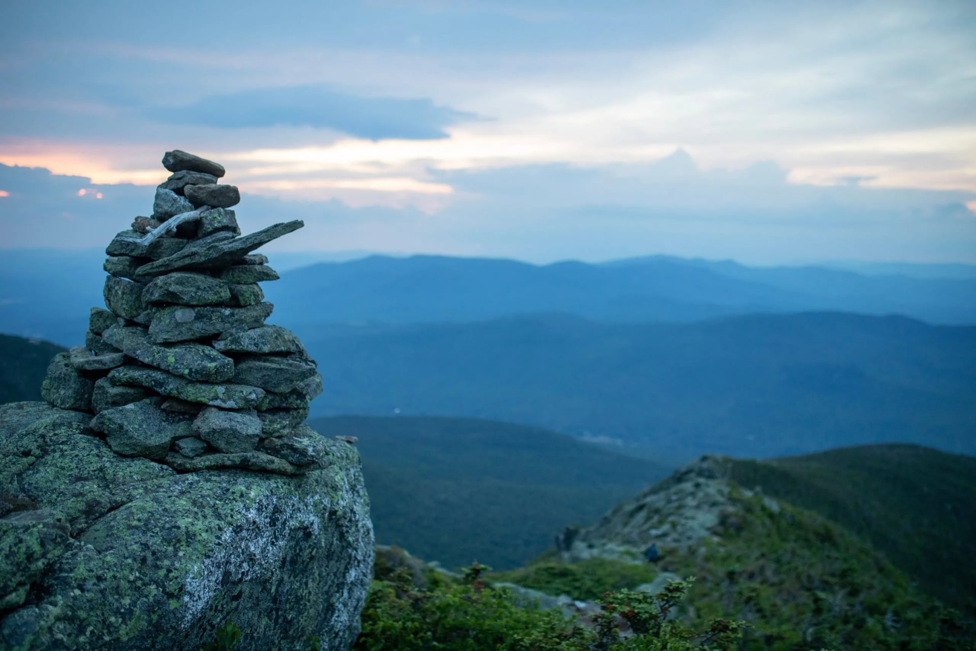
It suits someone who already covers 20 mountain miles comfortably, has walked on broken boulder before, and is willing to turn round when the weather changes. What ends most attempts is not fitness but daylight running out while a forecast turns, with the nearest way down still miles along the ridge. Set a turnaround time before you start walking.
The AMC Huts on the Ridge
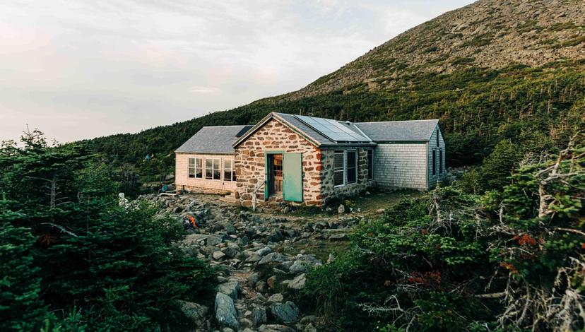
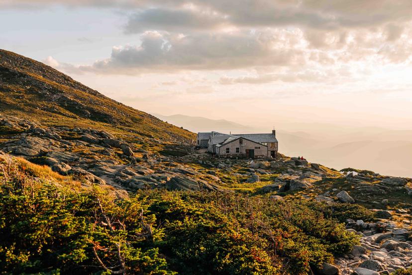
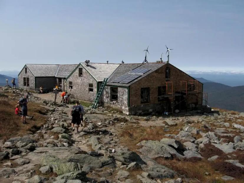
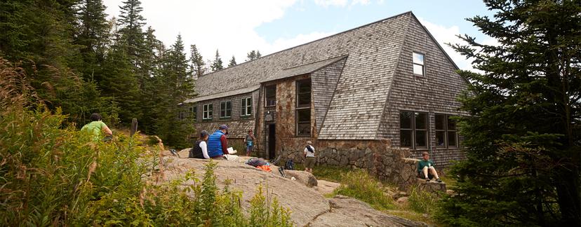
The Appalachian Mountain Club runs eight huts across the White Mountains, three of them on or below the Presidential ridge. They are staffed buildings with bunkrooms and cooked meals, and without them a multi-day traverse would mean carrying a tent onto exposed ground.
You do not really choose between them. The three sit where the ridge allows, so which ones you use is settled by how many days you take and which way round you walk. A four-day traverse stops at all three in turn, and a two-day version picks one.
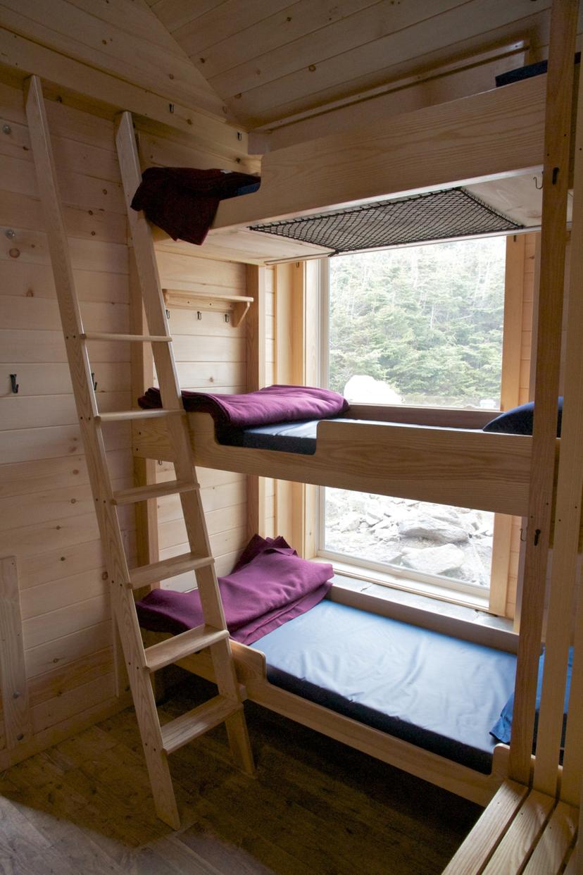
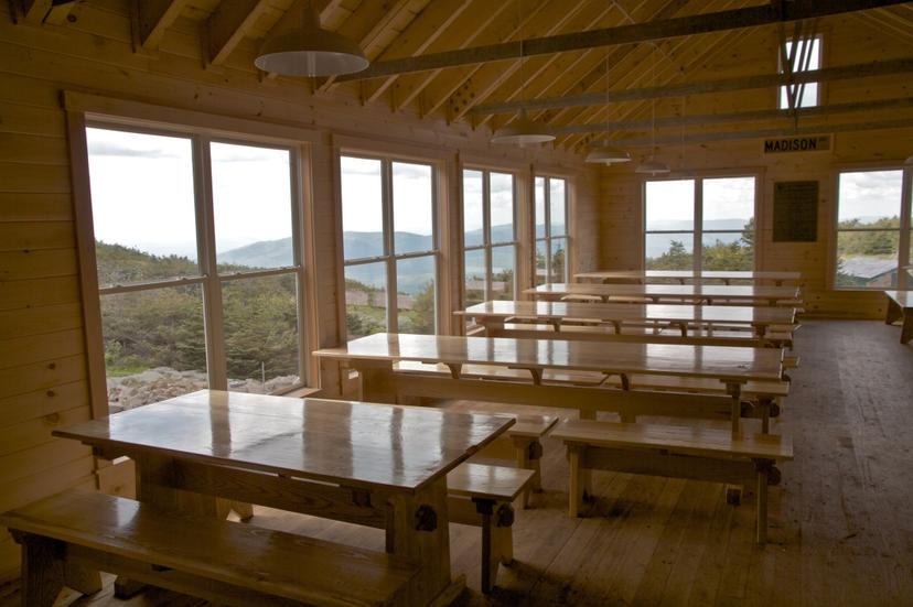
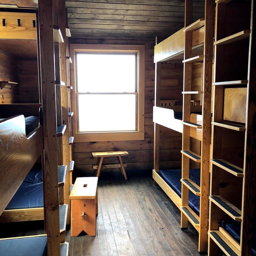
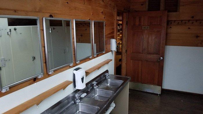
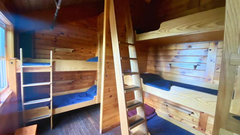
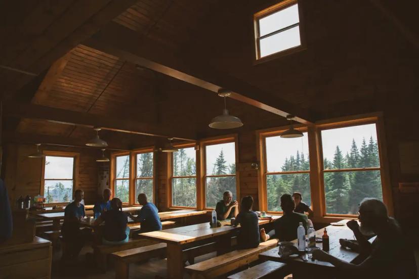
The buildings are plainer than the meal service suggests. Bunks have mattresses and, through the full-service season, three wool blankets and one pillow each. The bunkrooms are co-ed and unheated, with no overhead light. Dinner goes out family-style at 6pm and breakfast at 7am, cooked by a crew of four to ten who work eleven days on and three off.
Water is the other reason to plan around them. Every hut is a refill point, open to day walkers too. There is very little between them on the ridge, so you carry for the gap ahead rather than for the day.
Camping is not the fallback, because the alpine zone above the treeline is closed to it. Beds go a long way ahead and midsummer goes first, so fix your nights before anything else.
Our Hut-to-Hut Week, Day by Day
Our four-day version goes north to south, and these are the figures from the published itinerary. It covers 21 miles with 9,380 feet of climb and 9,430 feet of descent. Splitting the walk this way keeps the longest day to 7 miles. It also leaves a spare morning to sit out bad weather rather than walk into it, which on this ridge is the difference between a good week and a shortened one.
Hardest day: 4,040 feet of climb, in 3.9 miles
Daily distance: 3.9 to 7 miles
Grades: 4/5 fitness, 5/5 technical
Sleeping: AMC huts, bunkrooms, meals included
Day one runs from the Appalachia trailhead to Madison Spring Hut, 3.9 miles and 4,040 feet of climb against only 560 feet of descent, the steepest morning of the week. Day two is the long one, 7 miles across Adams, Jefferson and Washington to Lakes of the Clouds, with 3,380 feet up and 3,150 down. Day three drops to Mizpah Spring in 4.6 miles over Monroe, Eisenhower and Pierce.
The last day is 5.5 miles out to the Webster Cliff trailhead, 860 feet up and 3,400 feet down. Three of those four days lose more height than they gain, which is why walkers finish this route with sore knees rather than sore lungs. A presidential traverse 3 day itinerary compresses the same ground and leaves you less margin.
Weather on Mount Washington
Mount Washington has a reputation it has earned. It held the world surface wind record at 231 miles per hour, and the summit buildings are chained down because of it. The range sits where several storm tracks converge, and cloud can be down on the rock while the valley you set off from stays clear.
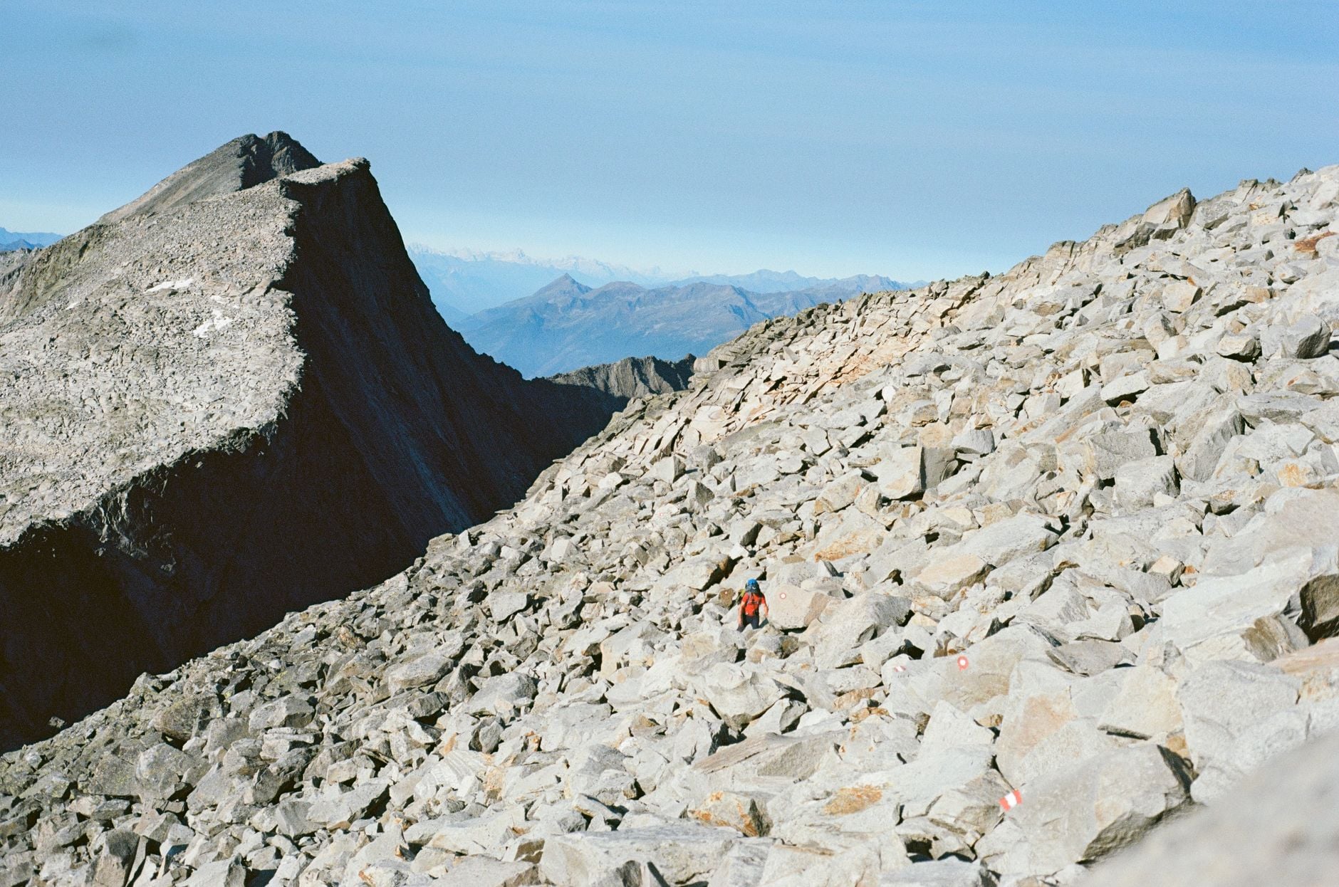
Read a mountain forecast rather than a town one. The Mount Washington Observatory publishes a Higher Summits Forecast written for this ridge, and cloud can sit on the rock all day while the valley below stays clear. A clear valley start tells you nothing about the summits. Once you are committed the escape trails are long and steep, so change your plan at the hut rather than at the col two hours later.
Getting There, and Getting Out
The two ends sit on different roads, which is the biggest logistical fact about the traverse. The northern trailhead is Appalachia, on US Route 2 between Randolph and Gorham, a roadside parking area with no facilities. The southern end comes out on Route 302 in Crawford Notch, near the AMC Highland Center.
That means you finish a long drive from your car. Most people use the AMC hiker shuttle, which links the trailheads through the season. Gorham on Route 2 is the practical base town, at the junction with Route 16, with the supermarkets and the outfitters twenty minutes from the northern trailhead.
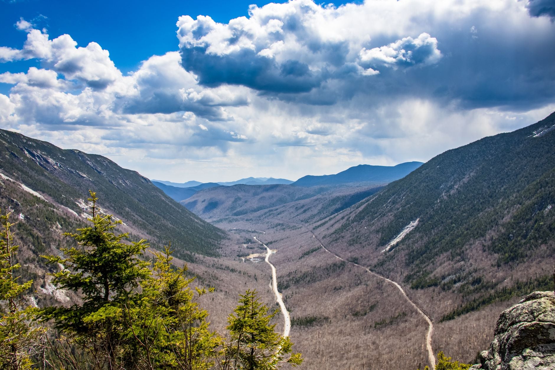
Water is scarce above the treeline. You carry what you need for the gap ahead rather than for the day, and on day two that gap is 7 miles. Every hut is a filling point and there is little in between.
Know your way off before you need it. The standard escapes are the Ammonoosuc Ravine Trail from Lakes of the Clouds to the Cog base station and the Tuckerman Ravine Trail from Washington to Pinkham Notch. Both drop over 2,000 feet into the trees, quickly.
The season follows the huts. Early June to mid-October covers the full-service window across the three of them, and July through September gives the best odds on weather. Early June can hold snow in the ravines and October puts ice on the rock, and a winter traverse is a mountaineering objective with its own skills and its own guiding.
How Much It Costs
Our hut-to-hut week is priced per person for three nights in AMC mountain huts with dinner and breakfast, the route booklet, the GPS app and support while you walk. Tourist tax is the one item paid locally. There is no luggage transfer on a hut route; you carry a day pack between huts.
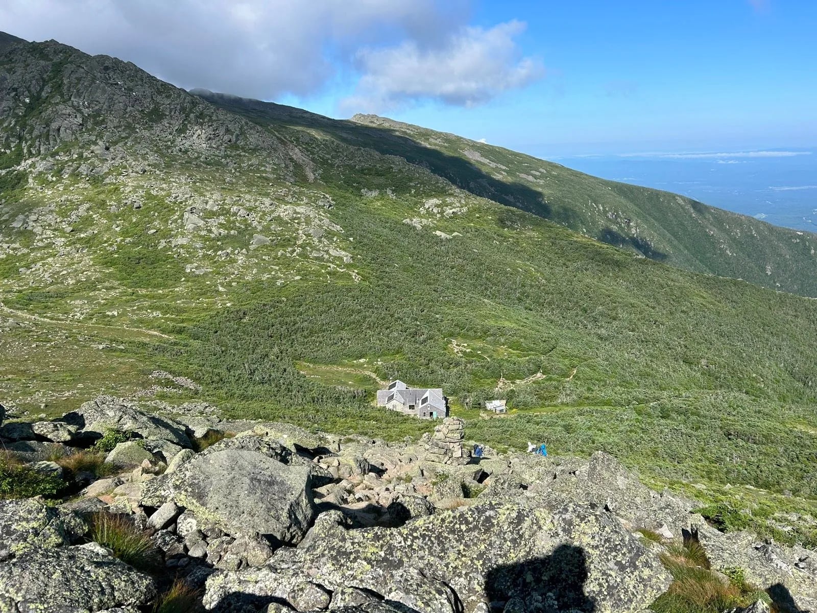
Independently, the huts are the cost. A full-service night with dinner and breakfast has run around $150 per adult in recent seasons, with a members' discount, and weekends in July and August sell out months ahead. Parking at the trailheads needs a White Mountain National Forest pass, $5 a day or $80 a year, and the AMC hiker shuttle back to your car is $20 for members and $24 for non-members, one way.
What to Pack
The traverse is above the treeline for most of two days, so the bag holds a waterproof jacket, a warm mid layer, a hat and gloves in any month, because Mount Washington can be 30 degrees Fahrenheit colder than the valley with wind on top. Trail shoes or boots with grip for the rock, and a headlamp for the early starts.
Water capacity for 7 miles between fills, two litres at least, and a filter. A sleeping-bag liner for the huts, which supply blankets, plus cash for the hut gratuity and the shuttle, a paper map and a 25 to 35 litre pack to hold it all.
Choosing Your Presidential Traverse
Pick your version by the hardest single day, not by the total. A one-day traverse asks for 9,000 feet in one push; the four-day version asks for 4,040 feet on the first morning and less every day after. Those are two different sports on the same ridge.
If you want all seven summits without the endurance test, the Presidential Traverse hut to hut is the gentlest way to collect them. It is still graded 5 out of 5 for terrain, because the rock takes no notice of how many days you spend on it. Every figure on this page comes from a published itinerary or a trail authority.
Tell us which version you have in mind and we will match the week to it →
Frequently Asked Questions
Plan with a hiking expert
Free advice from a team that knows these routes inside out - real people, not a bot

HASSLE FREE
We handle itineraries, accommodations, and anything else you prefer not to deal with, so you can enjoy a carefree hike.

BOOK WITH CONFIDENCE
We are a financially protected company, fully bonded and insured, keeping your money safe and allowing you to travel with confidence.

TRIED & TESTED ADVENTURES
Only the best hut to hut hikes in the USA, cherry-picked by our local team with an in-depth knowledge of the region.

UNBEATABLE SUPPORT
Our 24/7 customer support is where we show our passion, bringing you a better experience by making your well-being our number one priority.