The Appalachian Trail: A Beginner's Guide to the Best Sections
Almost 2,200 miles through fourteen states in five to seven months, with the shelters, the section that sleeps in huts, and how long each piece really takes.
Quick links
Don't want to read all this?
We've planned 2,000+ hiking trips. Send your dates, fitness and group size — we'll map the route and book every night.
Around three million people set foot on the Appalachian Trail every year, and only about a thousand walk the whole thing. Almost everyone who uses this trail is on a section of it, which is worth knowing before you read another word about thru-hiking.
This guide covers the trail end to end: where it runs, how long it takes, how the shelters work and what the record stands at. It also gives the day-by-day figures for the nine-day White Mountains section we walk ourselves.
What the Appalachian Trail Is
The Appalachian Trail is a continuous footpath through the eastern United States. It runs almost 2,200 miles, Georgia to Maine, between Springer Mountain and Mount Katahdin. The Appalachian Trail Conservancy calls it the longest hiking-only trail in the world. Most of it passes through forest and wild land, though parts cross towns, roads and farms.
It began as an idea rather than a path. Benton MacKaye proposed it in 1921, writing his plan shortly after his wife's death, and the finished trail opened in 1937. His original scheme was stranger than what exists now: a chain of farms and work camps for city dwellers, strung along the mountains.
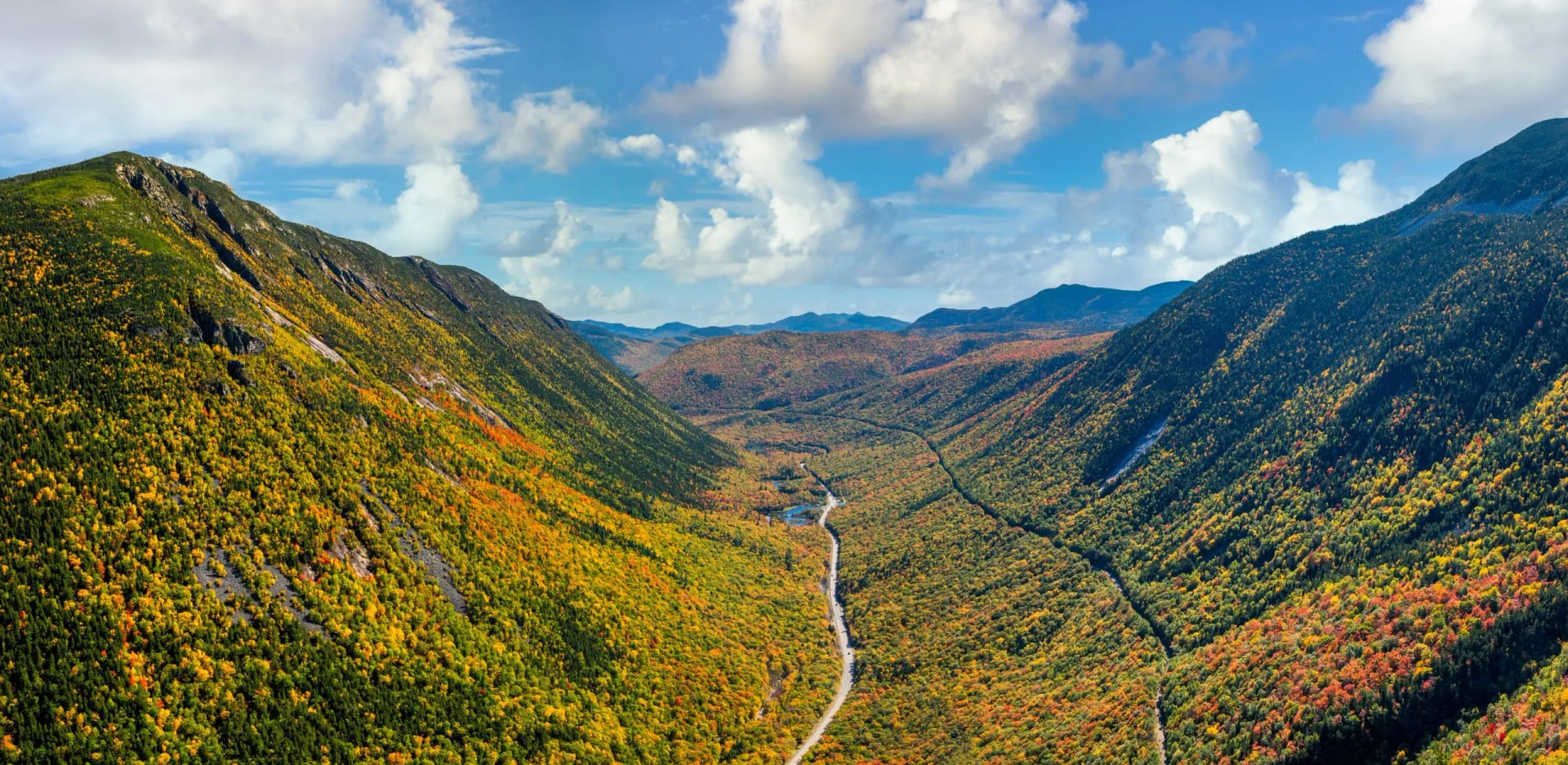
Nobody owns it in the way one body owns a national park. Thirty-one trail clubs maintain it, working with the National Park Service, the US Forest Service and the Conservancy. It became the Appalachian National Scenic Trail under the National Trails System Act of 1968, and volunteers still do most of the physical work on the ground.
Where the Appalachian Trail Starts and Ends
Where does the Appalachian Trail start and end? The two ends are Springer Mountain in Georgia and Mount Katahdin in Maine, and which one counts as the start depends entirely on the direction you walk. Most thru-hikers go northbound, leaving Georgia in spring and aiming to reach Maine before Katahdin closes for the season in October.
Northbound is the crowded option and the forgiving one. The Georgia and North Carolina miles are moderate enough to break you in, the weather improves as you go, and there are more people around while you are learning what you are doing. The trade is that you finish on the hardest ground when the season is closing.
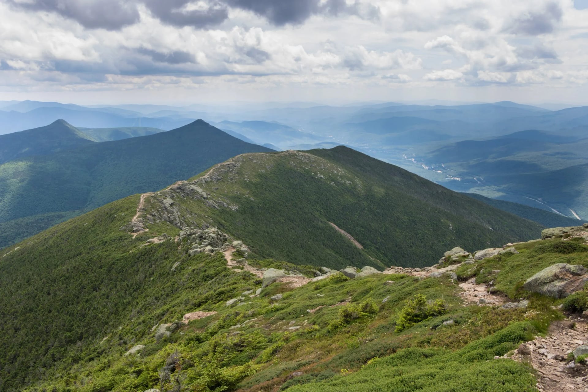
Southbound reverses all of that. You start on Katahdin in June and walk straight into Maine's 281.4 miles while you are least fit, which is why far fewer people choose it. The reward is an emptier trail and a finish in the southern autumn rather than a race against a closing mountain.
How Long the Appalachian Trail Is, and How Long It Takes
How many miles is the Appalachian Trail? Just under 2,200, and the number moves every year, because reroutes and land swaps change it between seasons. Anyone quoting a total to the decimal point is quoting one specific year, which is why the appalachian trail length is usually given as a round figure.
A thru-hike generally takes five to seven months. Some have done it in three, and trail runners have gone far faster than that, but those are not useful models for planning. Walking it end to end means treating it as a season of your life rather than a holiday.
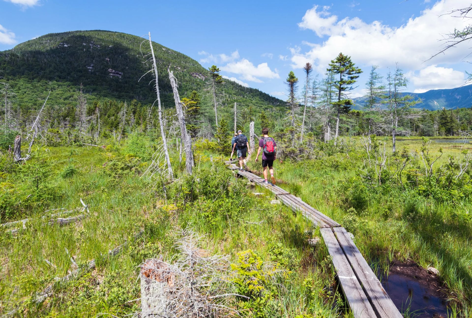
The completion figures are the ones worth sitting with. The Conservancy estimates about a quarter of the 3,000 who set out each year finish. The usual reasons for stopping are injury, money and the sheer accumulated tedium of walking through rain in the same clothes for weeks.
The Fourteen States, in Order
The trail passes through fourteen states. From south to north they are Georgia, North Carolina, Tennessee, Virginia, West Virginia, Maryland, Pennsylvania, New Jersey, New York, Connecticut, Massachusetts, Vermont, New Hampshire and Maine. The share each one takes is wildly uneven, and the numbers explain a lot about how a thru-hike feels.
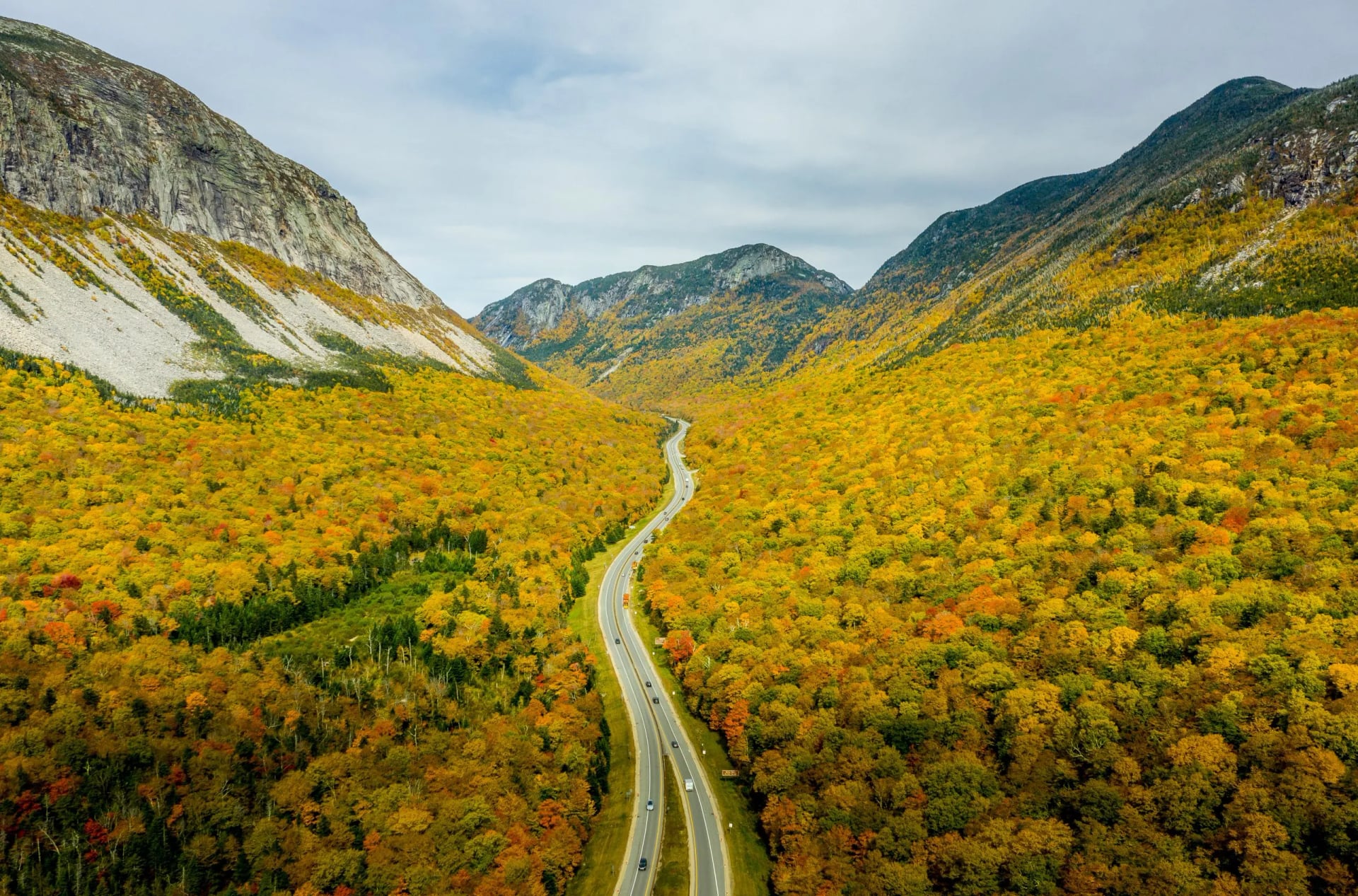
Virginia carries 550.3 miles, a quarter of the whole trail. That is why northbound hikers talk about the Virginia blues, a month of green tunnel in one state. At the other end of the scale, West Virginia gets 2.4 miles, which is less than a morning's walk.
The character changes as you go. Tennessee takes 287.9 miles through the Great Smoky Mountains, Pennsylvania grinds out 229.6 over the rock that gives it the nickname Rocksylvania, and New England raises the difficulty sharply again. Vermont has 150 miles, New Hampshire 160.9 and Maine 281.4.
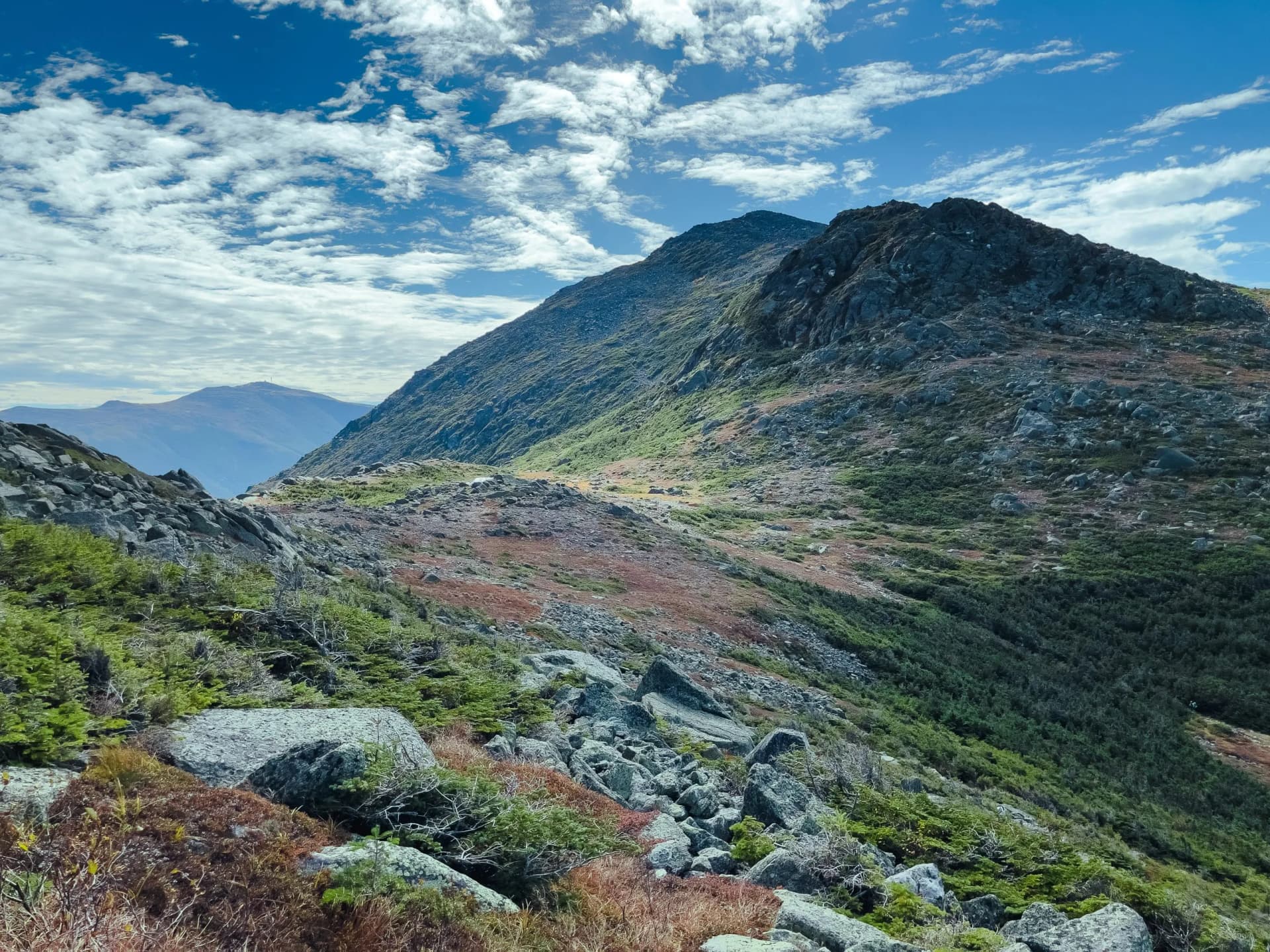
The last two states are where the trail bites. New Hampshire's 160.9 miles sit almost entirely inside the White Mountain National Forest, above the treeline on bare rock for long stretches. Maine adds 281.4 miles and Mahoosuc Notch is often called the trail's hardest mile, then the Hundred-Mile Wilderness with no resupply along it.
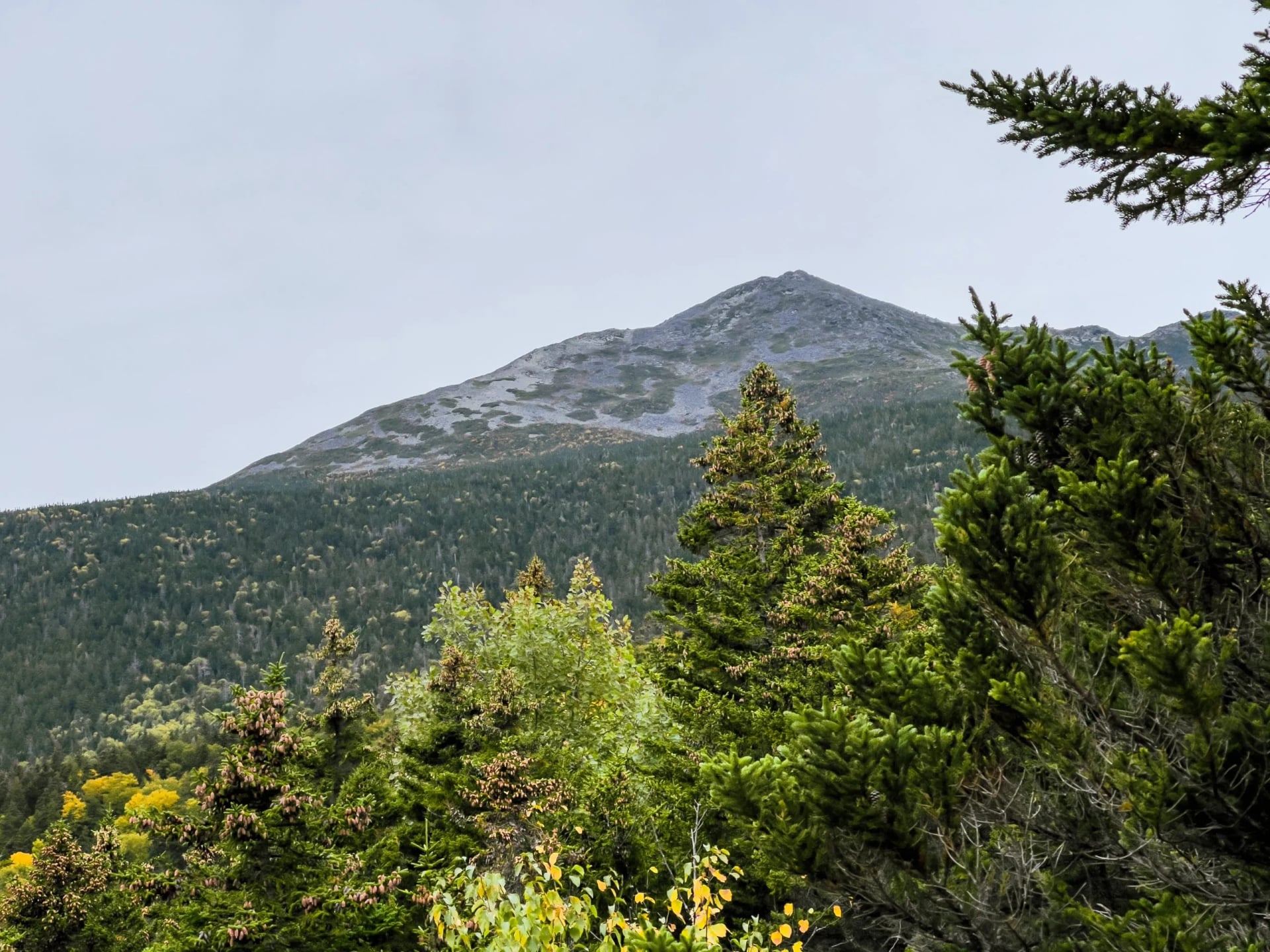
Northbound hikers reach both of those states at the very end. That is either good planning or a cruel joke, depending on which day you ask them. Southbound hikers get Maine and New Hampshire first instead, on the least trail-hardened legs of the whole walk.
The middle states are where the miles pile up quietly. Virginia alone can take a northbound hiker five weeks, and Pennsylvania's 229.6 miles of rock are the ones people complain about most. Neither is hard in the way New England is hard, and both end more attempts.
Appalachian Trail Shelters and Where You Sleep
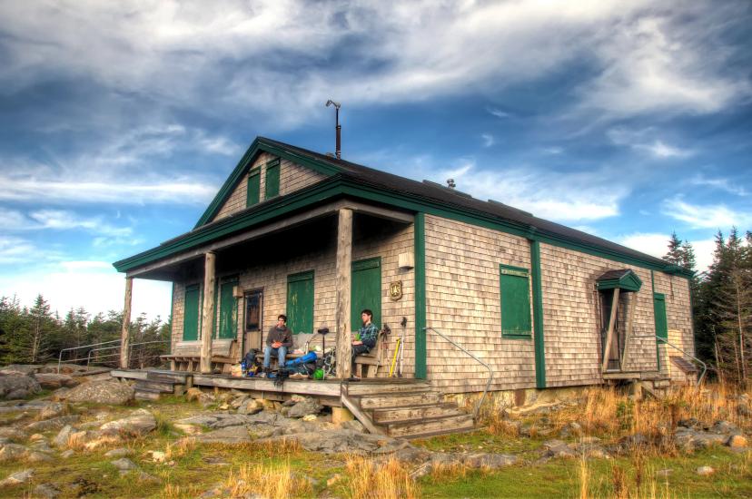
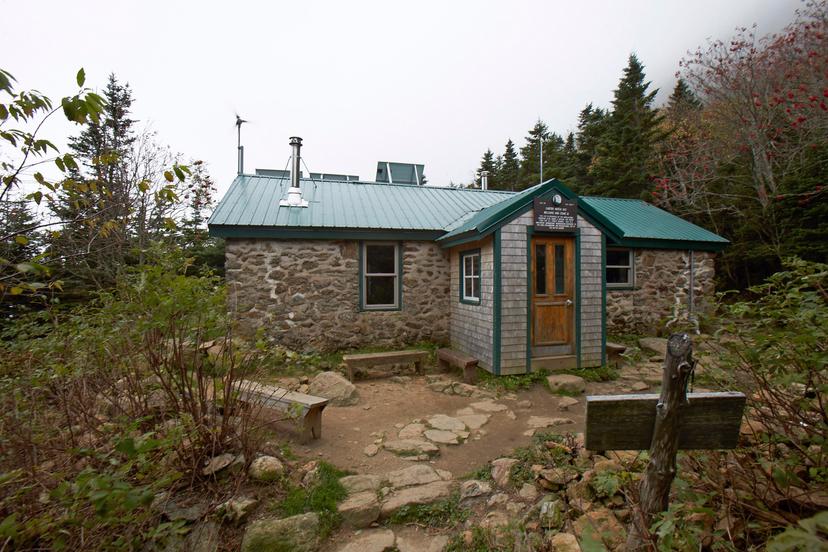
There are more than 250 shelters and campsites along the trail, spaced roughly a day's walk apart. The standard one is a three-walled structure with a wooden floor and an open front, which is closer to a bus stop than a building. The names change as you travel: lean-tos in Maine, Massachusetts and Connecticut, huts in Shenandoah National Park, Adirondack shelters elsewhere.
They work on a first-come basis and you cannot reserve one. A shelter that is full is simply full, so nearly everyone carries a tent regardless of how they plan to sleep. Most have a privy and a water source nearby, and that is the extent of the facilities.
The standing complaint is mice. They live in the shelters, they are entirely unbothered by people, and hanging your food inside is a basic precaution rather than an optional one. Ticks, mosquitos and black flies are the other reliable pests, and the black flies in Maine in June have ended more trips than the terrain has.
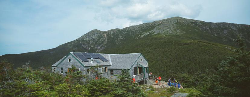
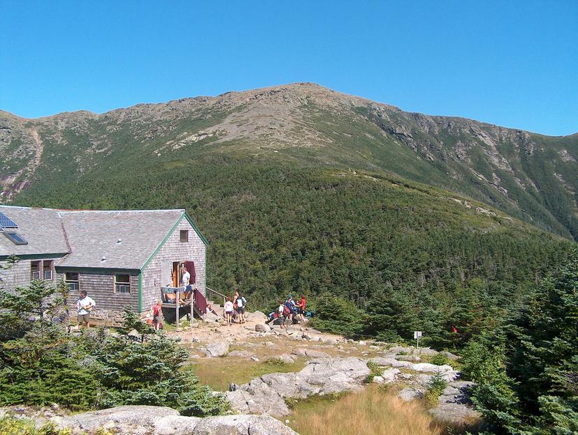
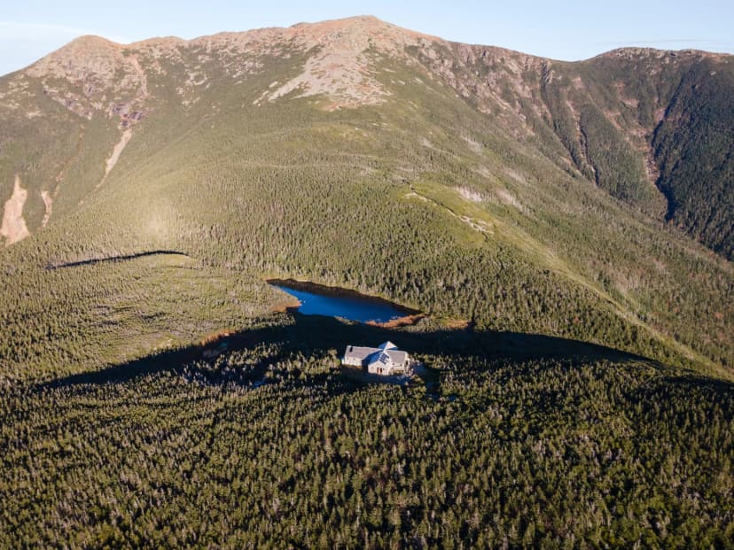
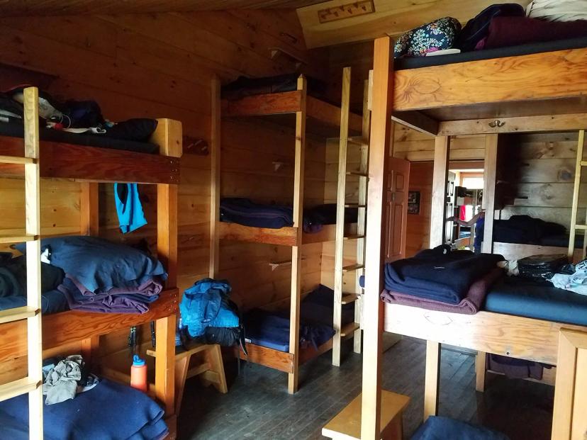
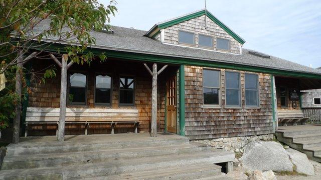
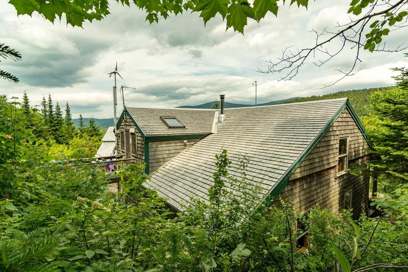
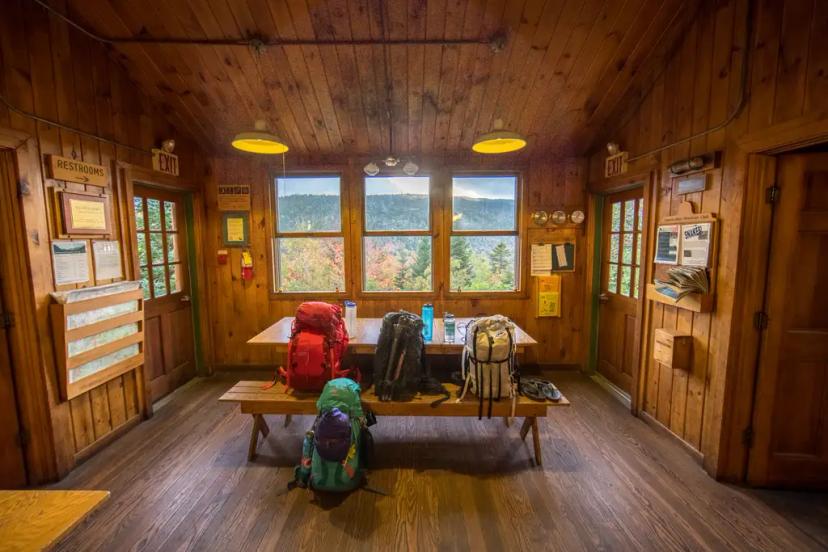
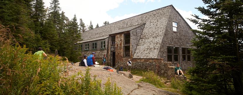
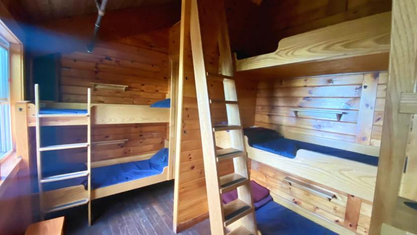
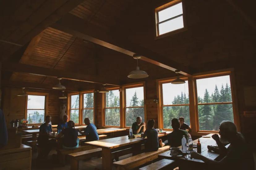
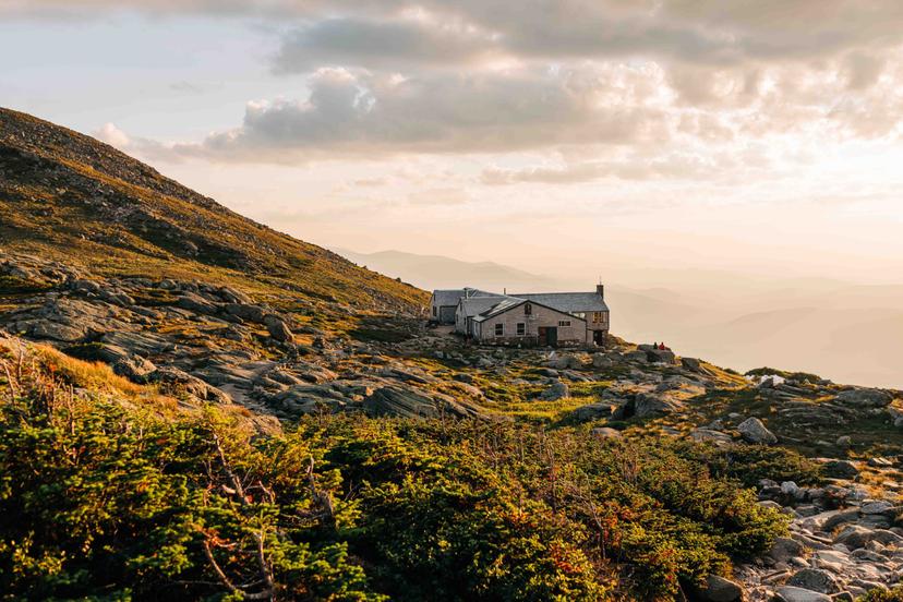
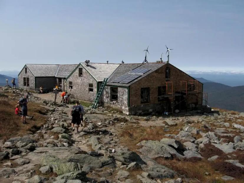
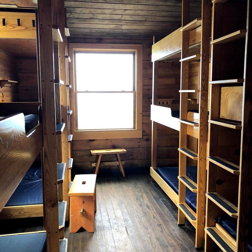
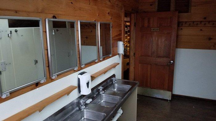
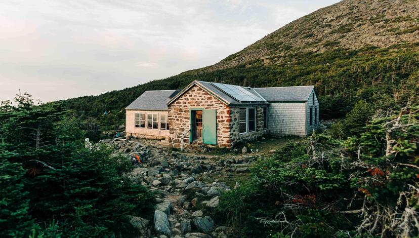
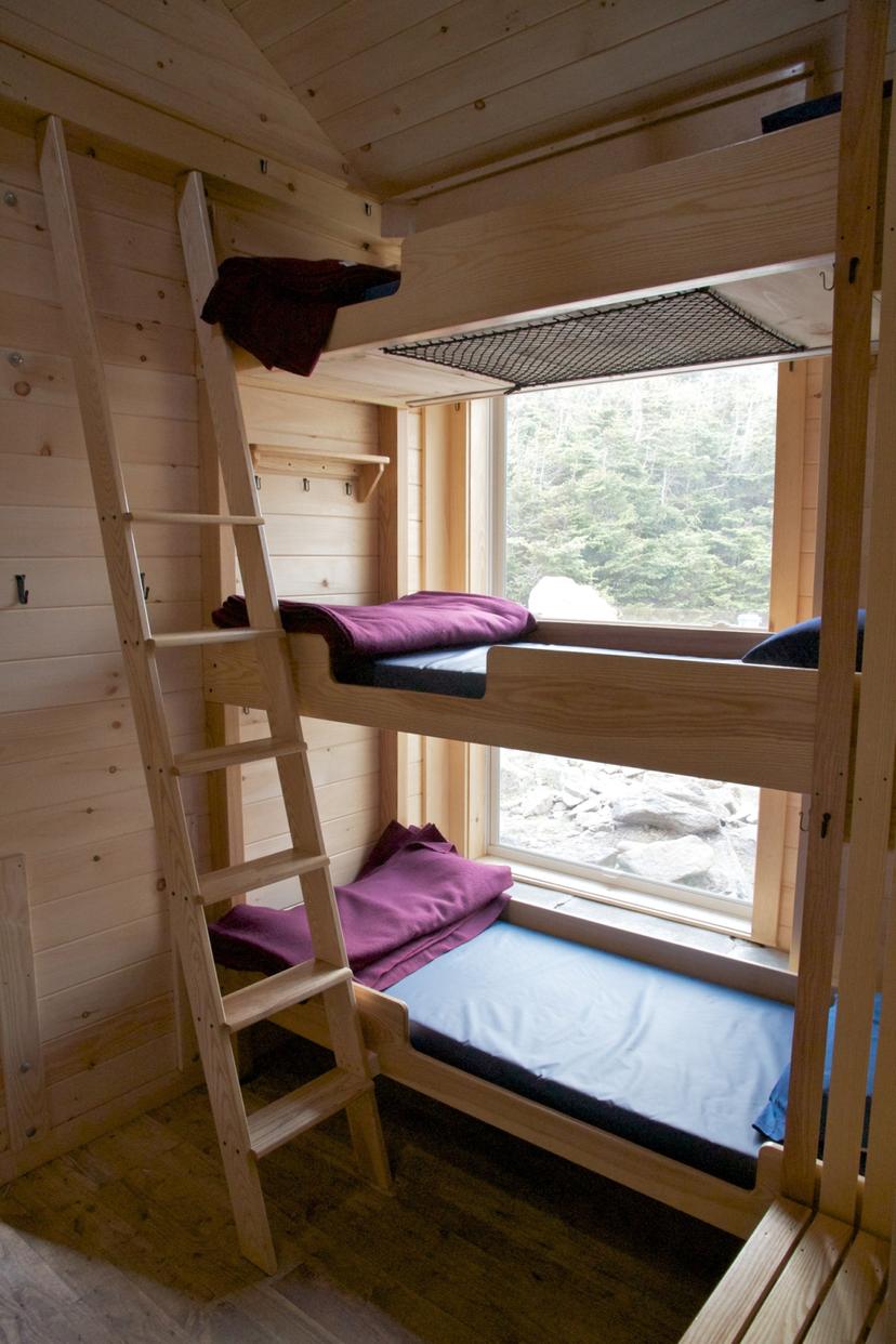
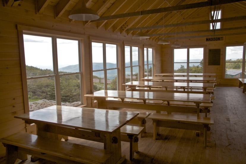
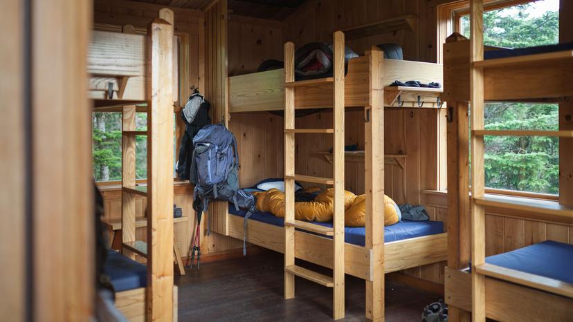
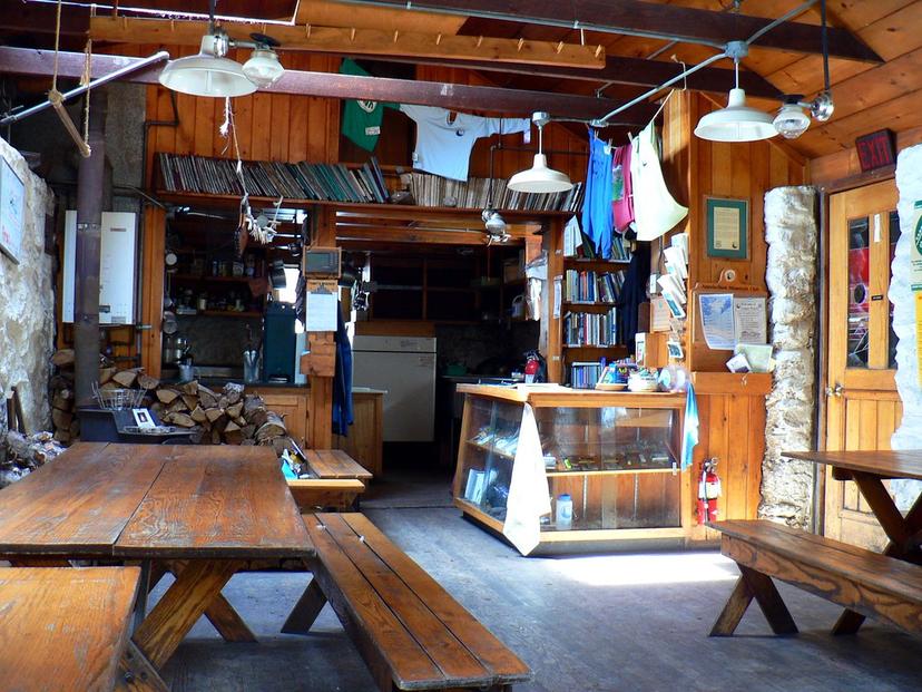
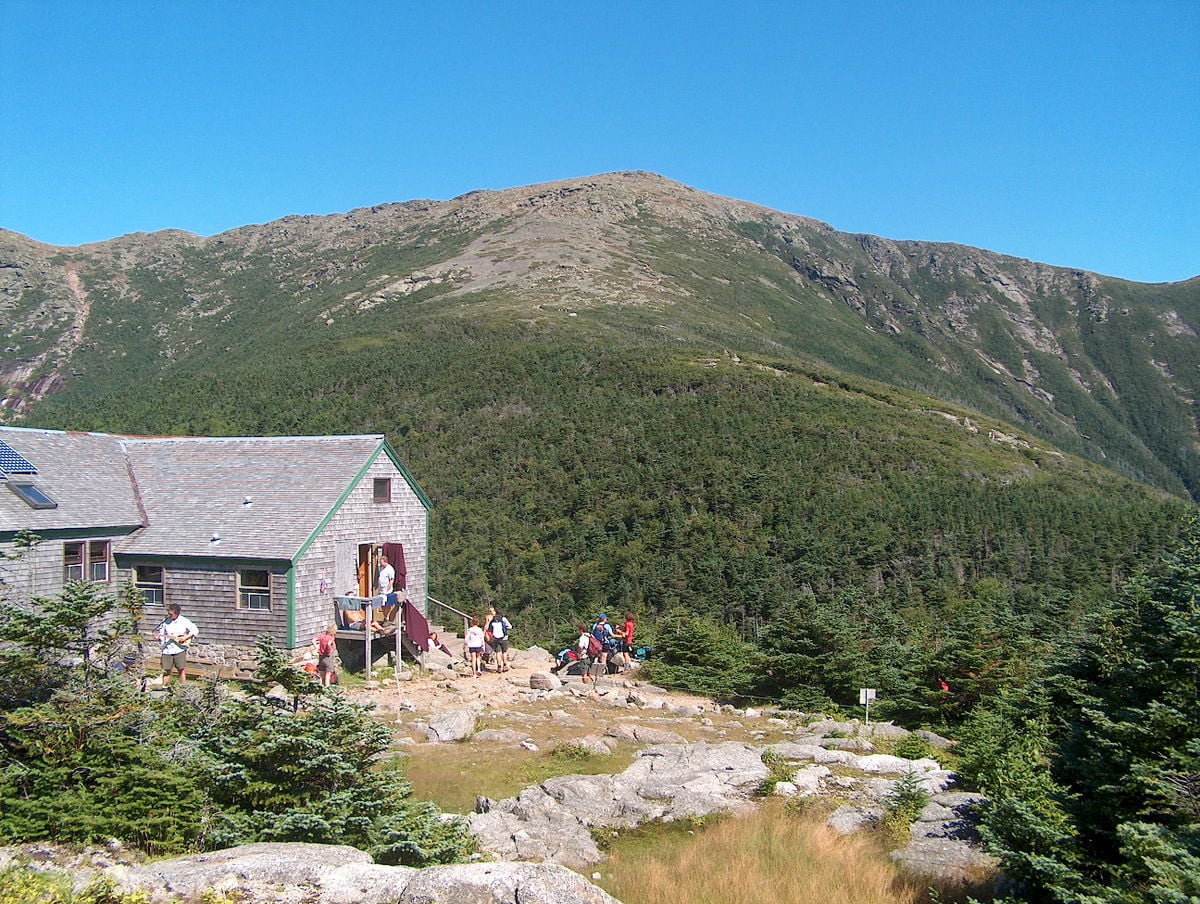
New Hampshire is the exception to all of this. The Appalachian Mountain Club runs eight huts along 56 miles of the trail there, and they are nothing like a standard shelter: bunkrooms, staff and cooked meals through the summer. They are the reason a hut-supported section week works in that state and almost nowhere else on the trail.
Section Hiking Instead of Thru-Hiking
Section hiking means walking the trail in pieces across several trips or several years, and it is what the overwhelming majority of people actually do. Three million segment hikers a year against roughly a thousand finishers is the ratio. That tells you which version of this trail is the normal one, whatever the thru-hiking books suggest.
The practical appeal is that a section fits a real life. You pick a stretch that suits your dates, your fitness and the season, walk it properly, and go home to your job at the end of it. Nobody has to quit anything, and you get to choose the best miles rather than walking all 2,200 including the dull ones.
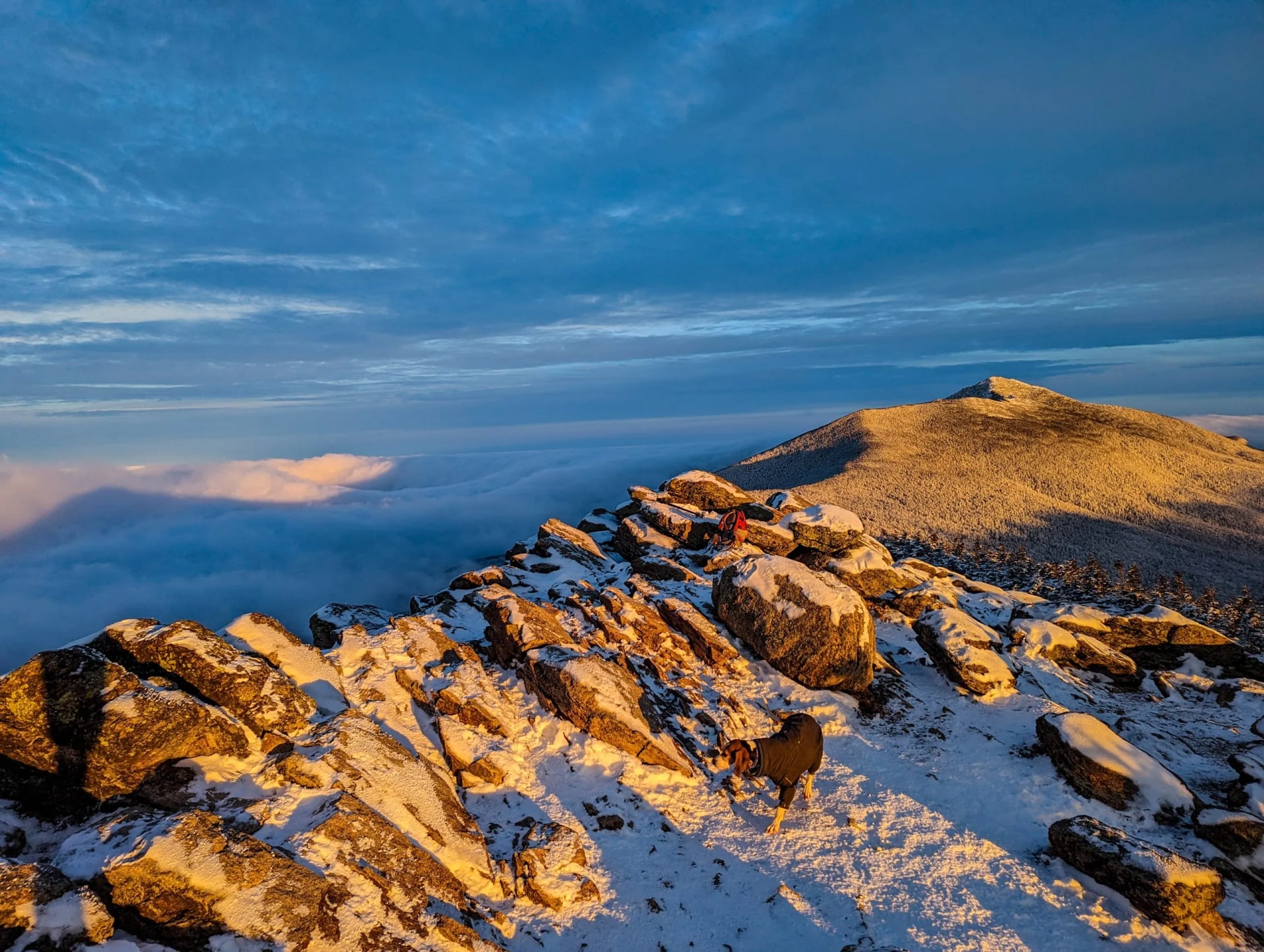
Choosing a section is mostly a question of what you want from it. The White Mountains give the most mountain for the fewest miles, packing serious ground into 160.9 of them. Tennessee's 287.9 miles give the biggest forest through the Smokies, and Virginia's 550.3 give the gentlest walking and the most trail towns.
The White Mountains Section, Day by Day
Our own section runs through New Hampshire and takes nine days over 49.6 miles, with eight nights in Appalachian Mountain Club huts and lodges. It climbs 19,930 feet across those fifty miles, which is a great deal of ascent for the distance and tells you most of what you need to know about this stretch of trail.
Hardest day: 3,300 feet of climb, in 7.7 miles
Daily distance: 2.8 to 7.7 miles
Grades: 5/5 fitness, 5/5 technical
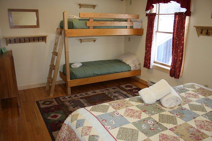
Sleeping: AMC huts, bunkrooms, meals included
The mileages look small and are not. Day one covers just 2.8 miles from Lafayette Campground up to Greenleaf Hut, and gains 2,450 feet in under three miles. Day four is the hardest, 7.7 miles from Zealand Falls to Mizpah Spring with 3,300 feet of climb, and day six crosses the high ground from Lakes of the Clouds to Madison Spring in 7 miles with 3,120 feet up and 3,340 down.
The last three days give the height back. Day seven drops from Madison Spring to Pinkham Notch losing 3,630 feet against 870 gained, then the route crosses to Carter Notch and out at Nineteen Mile Brook. It is graded 5 out of 5 for both fitness and terrain, which is the top of our range and not a formality on New Hampshire granite.
The Appalachian Trail Fastest Time
The record stands at 40 days, 18 hours and 6 minutes, set by Tara Dower in September 2024. That is an average of roughly 54 miles a day, every day, for nearly six weeks. It beat the previous overall mark of 41 days, 7 hours and 39 minutes set by Karel Sabbe in 2018.
Those attempts are supported, which means a crew meets the runner at road crossings with food, sleep and medical help. Self-supported records are slower and arguably harder, since the runner carries or caches everything and takes no outside help at all. The two categories are tracked separately for exactly that reason.
The history is worth a moment. Earl Shaffer made the first reported thru-hike in 1948, when the general view was that nobody could walk the whole thing. Emma Gatewood walked it in 1955 in 146 days, in her sixties, in canvas shoes, having told her family she was going for a walk.
Blazes and Waymarking
The trail is marked by white blazes, rectangles of white paint roughly two inches by six at eye height on trees and rocks. Blue blazes mark the side trails to shelters, viewpoints, water and parking. Hikers who follow only the white blazes for all 2,200 miles call themselves purists, and the term is used both admiringly and not.
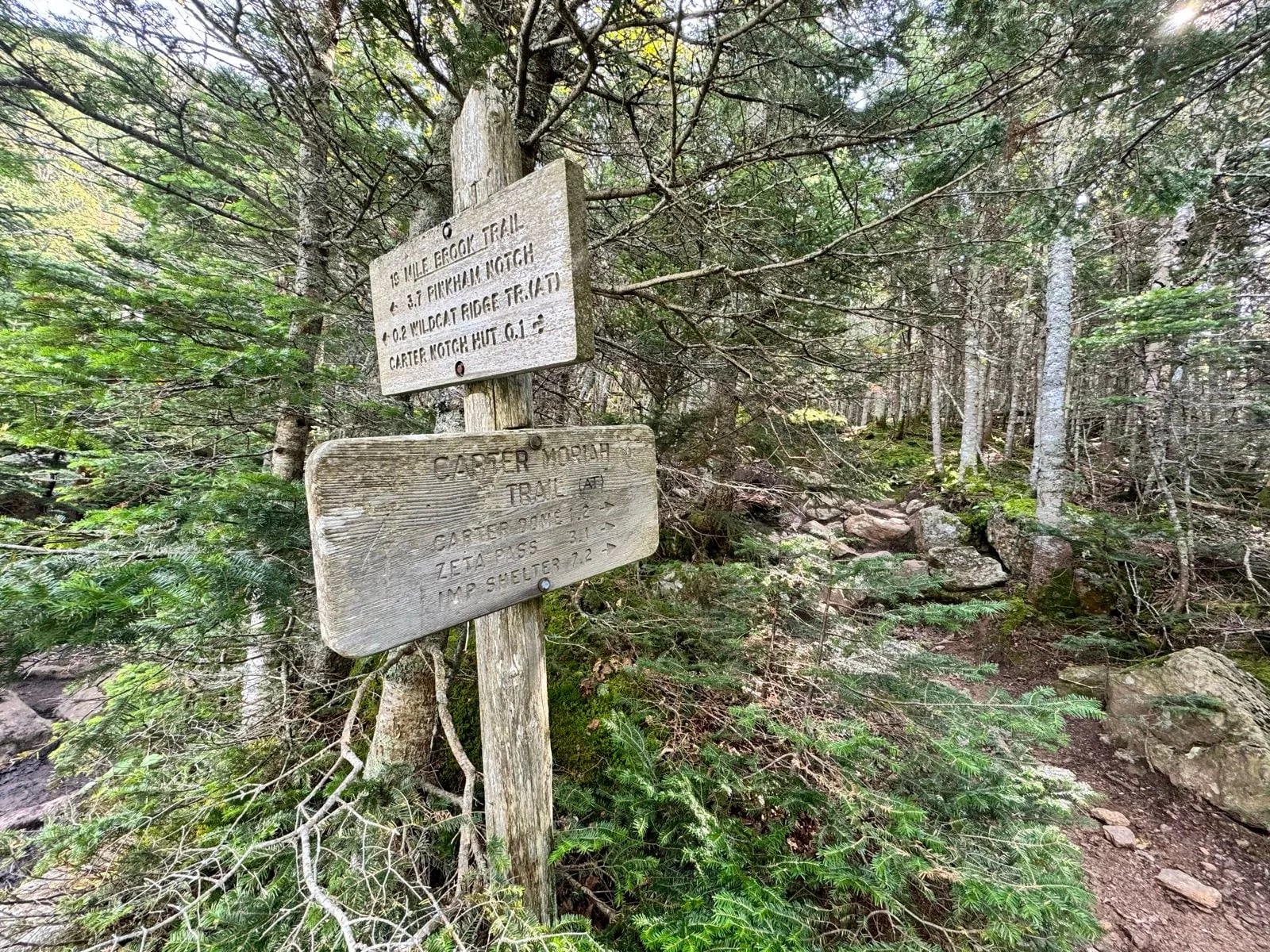
Blazes are enough in daylight and in trees, and not above them. An appalachian trail map is still worth carrying, whether that is the Conservancy's interactive map, National Geographic's printed sheets, or one of the phone apps most thru-hikers now use. In New Hampshire's 160.9 miles above the trees, the paper version is the one that keeps working.
There is a practical problem with mapping a footpath this shape. The whole trail maps as a strip 2,200 miles long, which is why the official sheets come as long vertical panels or as a set of dozens of regional maps rather than one usable page. Nobody has ever made a single sheet of the Appalachian Trail that is any use on the ground.
Our own section crosses the New Hampshire miles, from Lafayette Campground east through six huts to Nineteen Mile Brook. Above the treeline there the line is cairns, not tread. That is the one stretch of the 2,200 miles where a phone alone is not enough, and the Appalachian Mountain Club sheets are the standard for it.
The Appalachian Trail Map
Mapping a footpath this shape is genuinely awkward. The whole trail plots as a strip 2,200 miles long, a few miles wide, so the official sheets come either as long vertical panels or as a set of dozens of regional maps. No single page of the Appalachian Trail has ever been much use on the ground, which is why almost nobody plans from one.
What you want instead depends on the job. For choosing a section, the Appalachian Trail Conservancy interactive map shows the whole line with the state boundaries and the road crossings, and it is the quickest way to see how far apart the access points are. For walking, the regional sheets and the phone apps carry what actually matters underfoot.
Map
Four things are worth locating before any section. The shelters, spaced roughly a day apart, the water sources between them, the road crossings that let you start and finish, and the trail towns within reach of those crossings. Get those four onto one page and the rest of the planning follows.
The last check is currency. Reroutes, closures and bridge washouts are normal on a trail this long, and a sheet printed last season can already be wrong. The Conservancy posts changes as they happen, and that page is worth reading the week before you go. It is the one source on this list that goes out of date fastest.
When to Go
Northbound thru-hikers set off from Georgia between March and April, which puts them in New England by late summer and on Katahdin before it closes in October. Southbound hikers start in June, once the snow is off Katahdin. Those two windows are set by the mountains at either end, not by preference.
For a section, the calendar is much freer and depends on the state. The southern trail walks well in spring and autumn and is unpleasant in high summer humidity. New England is a June to September proposition, and in New Hampshire the huts run full service from June to late October, which sets the season for a hut-supported week there.
Autumn is the quiet reward across most of the trail. The crowds thin after Labor Day, the colour moves south through October, and the bugs that make June in Maine memorable have gone. The trade is shorter daylight and the first cold nights at altitude.
How to Get There
The two ends are a long way from anywhere. Springer Mountain in Georgia is reached from Atlanta, about 2 hours by road to the Amicalola Falls approach, and Katahdin in Maine from Bangor, with a shuttle into Baxter State Park. Neither terminus has public transport, so thru-hikers book a shuttle driver for the first and last miles.
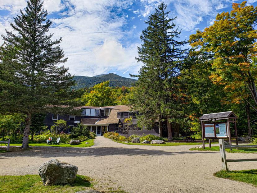
The section most people walk, the White Mountains of New Hampshire, is the easy one to reach. Boston Logan is about 3 hours by road, and a Concord Coach bus from Boston stops at the Pinkham Notch Visitor Center on Route 16, where the AMC hiker shuttle picks up for the trailheads.
How Much It Costs
The trail itself is free to walk and the shelters are free to sleep in. Our White Mountains hut-to-hut week is priced per person for eight nights in AMC huts with dinner and breakfast, the route booklet, the GPS app and support while you walk. Tourist tax is paid locally.
Independently, the costs sit at the edges. Full-service hut nights in the White Mountains have run around $150 per adult in recent seasons, a White Mountain National Forest parking pass is $5 a day, a Great Smoky Mountains parking tag $5 a day or $40 a year, and Baxter State Park charges a vehicle fee for non-residents. Shuttles to the trailheads are the other regular spend.
What to Pack
A section hiker's list is a day-pack list. A 25 to 35 litre pack, trail shoes or boots, base and mid layers, a waterproof jacket, a hat and gloves, because the New Hampshire ridges sit above the treeline and turn cold in any month. A headlamp, sun cream and a paper map, since the signal fails for hours.
Two litres of water capacity and a filter, because the sources are marked but treated. A sleeping-bag liner for the huts and cash for gratuities. Thru-hikers add a tent, a stove, a bear hang or canister where required, and resupply planning for the Hundred-Mile Wilderness, where nothing is sold for 100 miles.
Know Before You Go
Water is the constant on a trail this long. Sources are marked and mostly reliable, but they dry up in late summer in the south and you treat everything you take. Carry the capacity to walk dry for a few hours, and check what the current notices say about the stretch you are on.
Resupply is the rhythm that shapes a long walk. Trail towns sit a few days apart for most of the route, which is why the Hundred-Mile Wilderness in Maine is spoken of the way it is: there is no resupply along its length. Section hikers rarely have to think about any of this, which is one of the quieter arguments for section hiking.
Two more things catch people out. Ticks are the real hazard rather than the dramatic ones, and checking yourself every evening is worth more than any spray you can buy. Black flies in Maine in June end more trips than the terrain, and timing your walk around them is the only real defence.
Frequently Asked Questions
Walking a Piece of It
The whole trail is five to seven months out of your life and roughly a one-in-four chance of finishing. A section is a week, and you choose which week. That is why three million people walk pieces of this trail and about a thousand walk all 2,200 miles of it.
If you want the hardest and most scenic fifty miles of it, the White Mountains hut to hut section crosses the ground MacKaye originally imagined as the trail's northern anchor. It runs nine days for 49.6 miles and 19,930 feet of climb. Every figure on this page comes from a published itinerary, a trail authority or the record registry.
Tell us how many days you have and we will match a section to it →
Plan with a hiking expert
Free advice from a team that knows these routes inside out - real people, not a bot

HASSLE FREE
We handle itineraries, accommodations, and anything else you prefer not to deal with, so you can enjoy a carefree hike.

BOOK WITH CONFIDENCE
We are a financially protected company, fully bonded and insured, keeping your money safe and allowing you to travel with confidence.

TRIED & TESTED ADVENTURES
Only the best hut to hut hikes in the USA, cherry-picked by our local team with an in-depth knowledge of the region.

UNBEATABLE SUPPORT
Our 24/7 customer support is where we show our passion, bringing you a better experience by making your well-being our number one priority.