The Best Hiking in the USA: Trails, Regions and Hut-to-Hut Routes
Four kinds of hike, the named trails worth planning around, and the routes where you sleep in a bed, with the permits, prices and hardest single day of each.
Quick links
Don't want to read all this?
We've planned 2,000+ hiking trips. Send your dates, fitness and group size — we'll map the route and book every night.
America is famous for its national parks, and that is where almost everyone starts planning a walking trip. It is also the hardest ground in the country to get onto. Permits for the best-known routes are handed out by lottery, months before the season opens.
The walking comes in four kinds, and they sit further apart here than in most countries. There is a day out on a named trail, a route of three to six days where you sleep in a hut or an inn, a thru-hike of one to four weeks, and the 2,000-mile trails that take a season. Most people are best served by the second.
This guide covers all four. Every trail named in it comes with its distance, its climb and how the permit works. For our own six weeks the hardest single day runs from 510 feet of climb to 4,040.
How Hiking in the USA Actually Works
Three things shape an American walking trip more than the scenery does. None of them are obvious from photographs, and all three change how you plan. Each is worth settling before you pick a trail.
Almost every trail belongs to one of three agencies. The National Park Service runs the famous ground and rations it by lottery, the Forest Service manages far more land with far fewer rules, and state parks sit somewhere between the two. The agency in charge sets how far ahead you must book.
So the famous routes are the hard ones to arrange. A Wonderland Trail permit or a Half Dome cable pass is won in a spring lottery, months before you know what the weather will do. The equivalent Forest Service trail three valleys over may need nothing but a parking pass.
Distances come in miles and climb comes in feet. Nobody quotes walking hours. A local will say a hike is eight miles with three thousand feet and expect you to work out the rest, and 1,000 feet of climb per mile is steep anywhere.
Most of the classic routes are linear, not loops. That sounds like a detail and it is not, because somebody has to move you or your luggage back to the start. It is the reason the hut and inn networks further down matter more than their mileage suggests.
The Four Kinds of Hike in America
The four kinds differ by how many nights you spend out, not by how hard they are. The gap between them is wider here than in most countries. Work out which one you want and the rest of the planning follows.
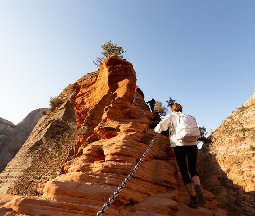
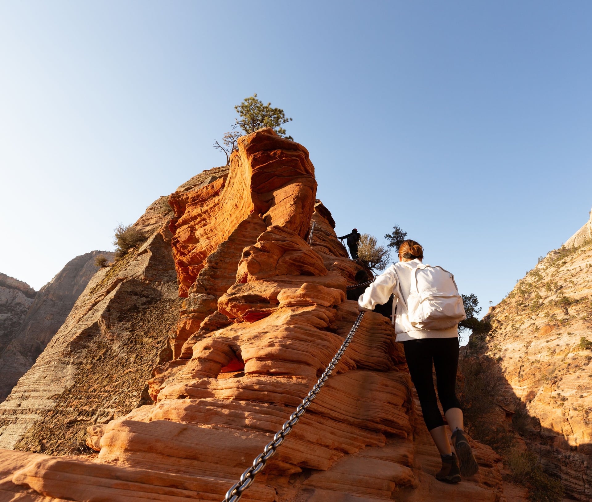
A day hike is what most Americans do. Angels Landing, Half Dome and Maine's Beehive Trail are all day hikes, and the crowds, the shuttles and the lotteries are built around single-day visitors. Search for the best hiking in the USA and most of what comes back is a day out.
A hut or inn-supported trip is the least understood kind. You walk point to point for three to six days and sleep in a bed each night. America has fewer of these than Europe, and they sit where the buildings already stood: New England, Colorado and coastal California.
Then there are the shorter thru-hikes in the US, self-contained routes of one to four weeks. The Tahoe Rim Trail and Vermont's Long Trail are the obvious ones. You carry a tent and food, resupply once or twice, and finish inside a normal holiday.
The Triple Crown is not a holiday. The Appalachian, Pacific Crest and Continental Divide Trails run 2,197, 2,650 and roughly 3,100 miles. Each takes four to six months of continuous walking, and they are here so you can see the top of the scale.
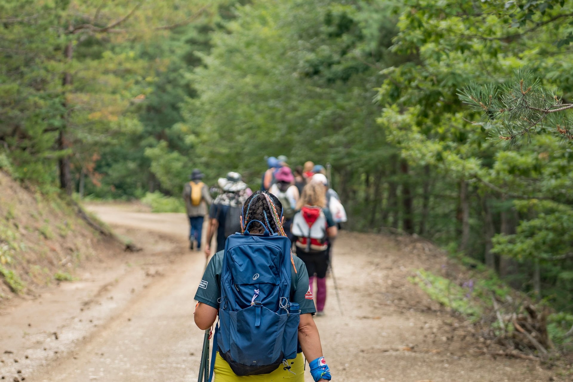
The Best Multi-Day Hikes in the USA
These are the top hiking routes in the USA worth planning a trip around, and the best multi-day hikes in the US if you have a week or two. Each one passes three tests: two nights out at least, a defined place to sleep, and distance and climb figures published by a park or trail authority.
They run west to east below, and every distance is one way unless it says otherwise. Where a permit comes from a lottery, the entry says so, because that decides whether a trip is possible at all this year. Treat the climb figures as the real measure of difficulty.
Four others are worth a look. The Kalalau Trail on Kauai gives eleven miles of coastal cliff each way, and Vermont's 272-mile Long Trail is the oldest long-distance hiking trail in the United States. The Colorado Trail spends longer above 10,000 feet than any other, and Minnesota's Superior Hiking Trail runs 300 miles of ridge above Lake Superior.
Wonderland Trail, Washington
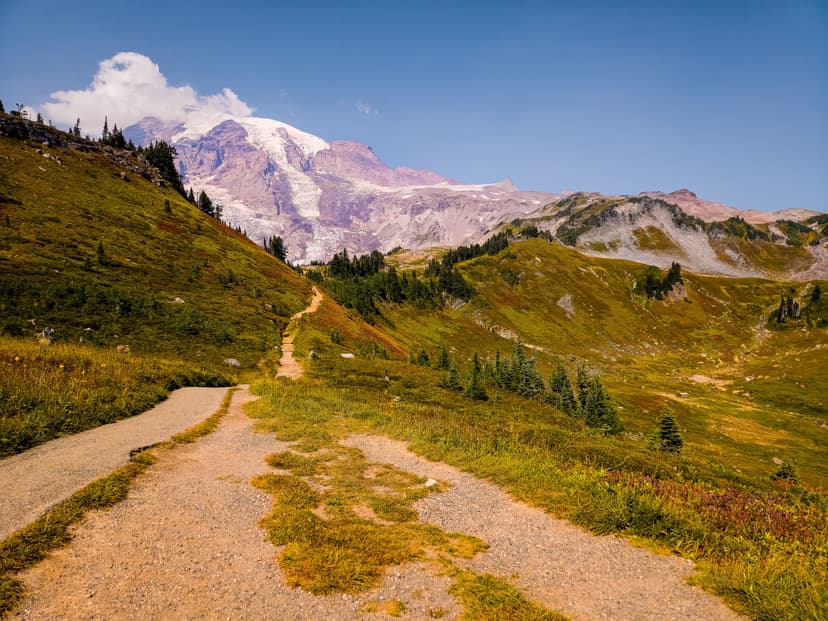
Rainier's Wonderland Trail goes right around the mountain. It is 93 miles with about 27,000 feet of climb, more ascent per mile than anything else here, and it crosses everything from old-growth forest to glacial moraine. Nine or ten camps break it up and you sleep in a tent at all of them.
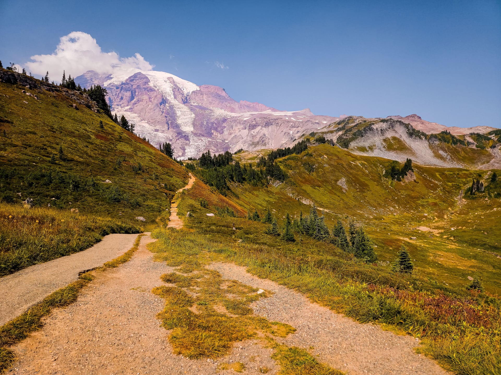
It is also the hardest permit in American hiking to win. The window opens in spring, and there are far more applications than camps. A full circuit takes nine to twelve days, so plan it a year ahead or plan a section instead.
Teton Crest Trail, Wyoming
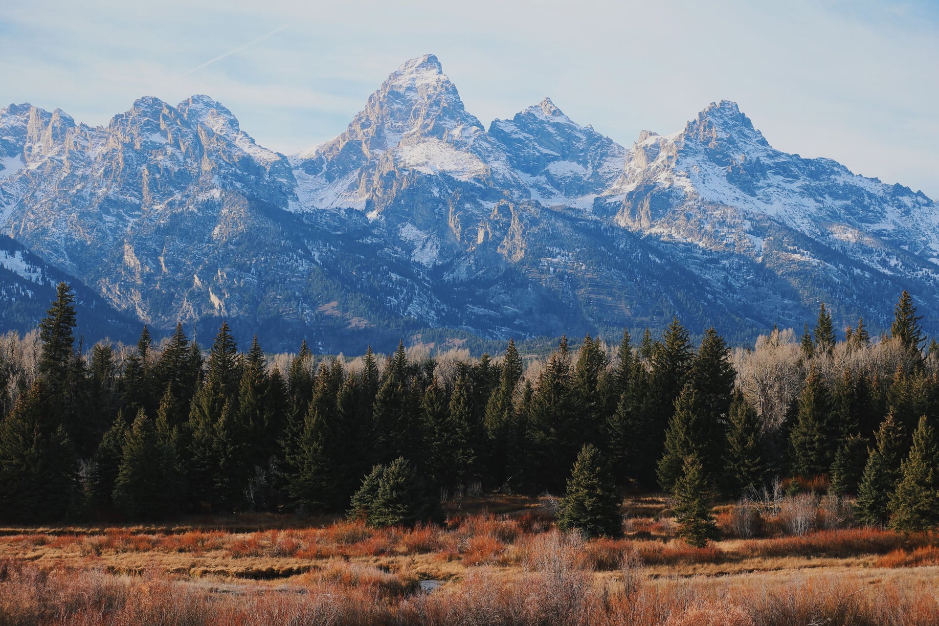
The Teton Crest is short. It runs about forty miles and stays above the treeline almost the whole way, which is unusual for a route this short. Four to five days does it, and it is reckoned beginner-friendly for ground at this altitude.
Grand Teton National Park issues permits by zone. Roughly a third can be reserved in advance and the rest are held back as walk-ups, so you need flexible dates to use them. Late August gives the best odds on both the weather and a zone.
John Muir Trail, California
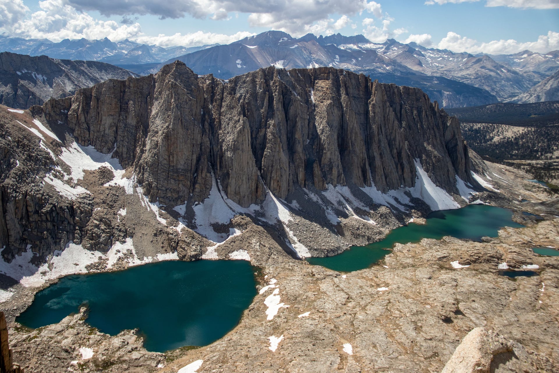
Yosemite Valley to the summit of Mount Whitney is 211 miles on the John Muir Trail, which shares most of its tread with the Pacific Crest Trail. It crosses a series of passes above 11,000 feet and stays high almost the whole way. Finishing on Whitney means ending at the highest point in the lower 48.
Most people take three weeks over it. The permit is a lottery weighted by where you start and which way you walk, food has to go in a bear canister, and the passes hold snow into July. More people apply for it than for any other long trail.
Tahoe Rim Trail, California and Nevada
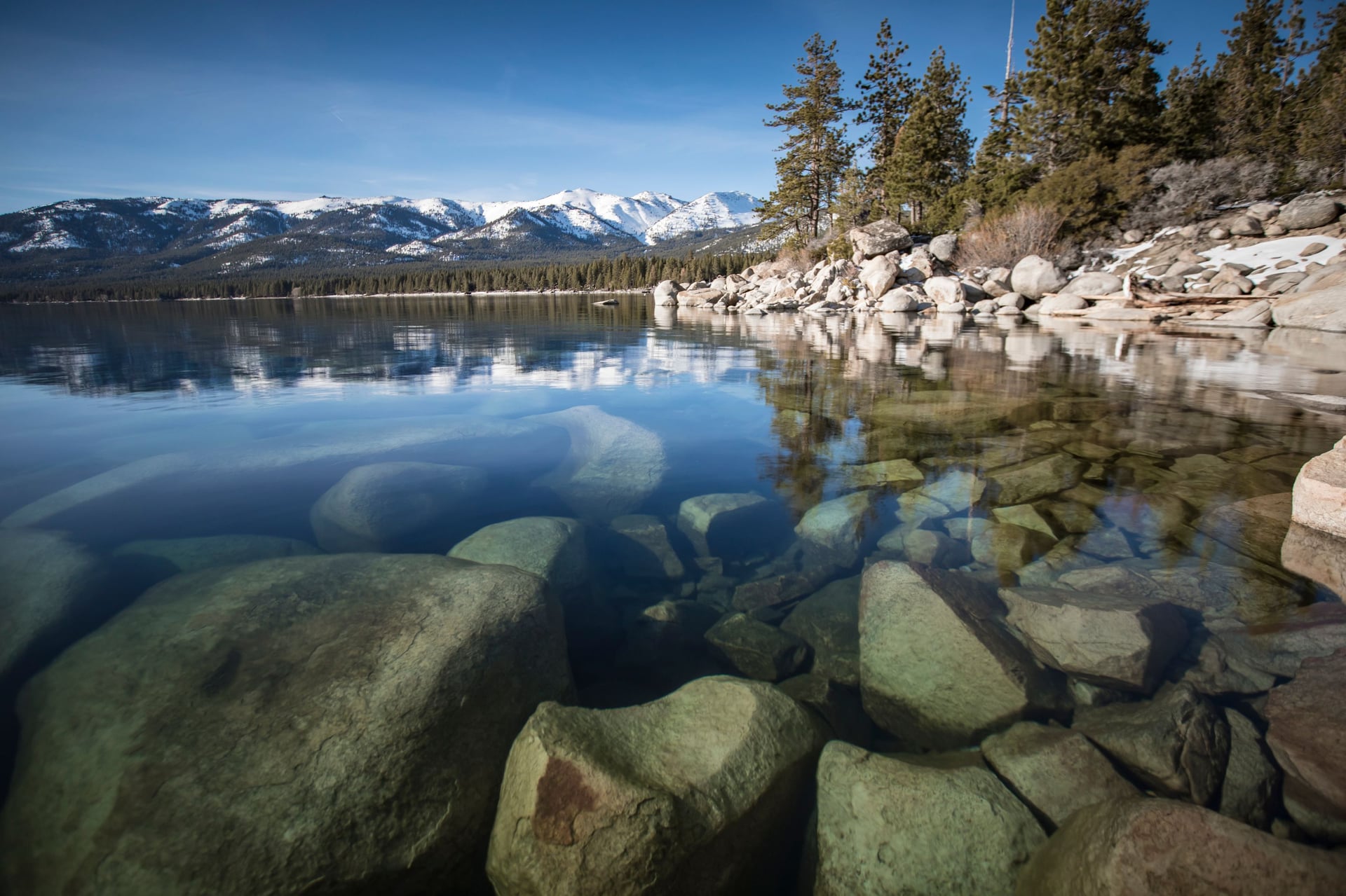
The Tahoe Rim Trail is a 165-mile loop around Lake Tahoe, so there is no shuttle to book and no second car. Ten official trailheads cut it into segments of 12 to 33 miles. You can start anywhere and finish where you parked, which no other route on this page lets you do.
Ten to fifteen days is normal for the full loop, and the lake stays in view for much of it. The altitude is moderate and the road crossings are frequent, so a change of plan costs you very little. Pick this one when stepping up from huts to a tent.
Huts and Inns
Most multi-day walking in America assumes you are carrying a tent. Three networks work differently. On those you walk point to point, sleep in a bed and eat a cooked meal at the end of the day, carrying only what the day needs.
The oldest network is in New England. The Appalachian Mountain Club runs eight staffed huts through the White Mountains, spaced a day's walk apart. They sleep between 36 and 90 and run full service from early June to somewhere between mid-September and mid-October, depending on the hut.
Dinner and breakfast are included, bunks come with mattresses and blankets, and every hut is a water point. The bunkrooms are unheated. The Presidential Traverse and the Appalachian Trail cross the same range, and both are walkable hut to hut.
Colorado has the 10th Mountain Division cabins, built around the division's wartime training ground. They are the only network in the mountain West. Each cabin was named for a soldier of the division that trained there in the 1940s.
The third kind uses no huts at all. Vermont, southern Oregon and coastal California have lodges and village inns close enough together to walk between. It is the most comfortable kind and the easiest to arrange.
What you carry is the practical difference between them. On the inn and lodge weeks your bag goes on ahead by road, so you walk with a daypack and arrive to a room and a meal. On the hut weeks you carry a little more, because the huts sit high on the mountain and nothing drives up there.
Our Multi-Day Trips, Ordered by Hardest Single Day
What separates our six trips is not distance. It is the hardest single day's climb, which runs from 510 feet to 4,040. That is an eightfold spread, and it tells you more about how a week will feel than the total mileage does.
Trip | Hardest day | Daily distance | Grades (fitness, technical) | Sleeping |
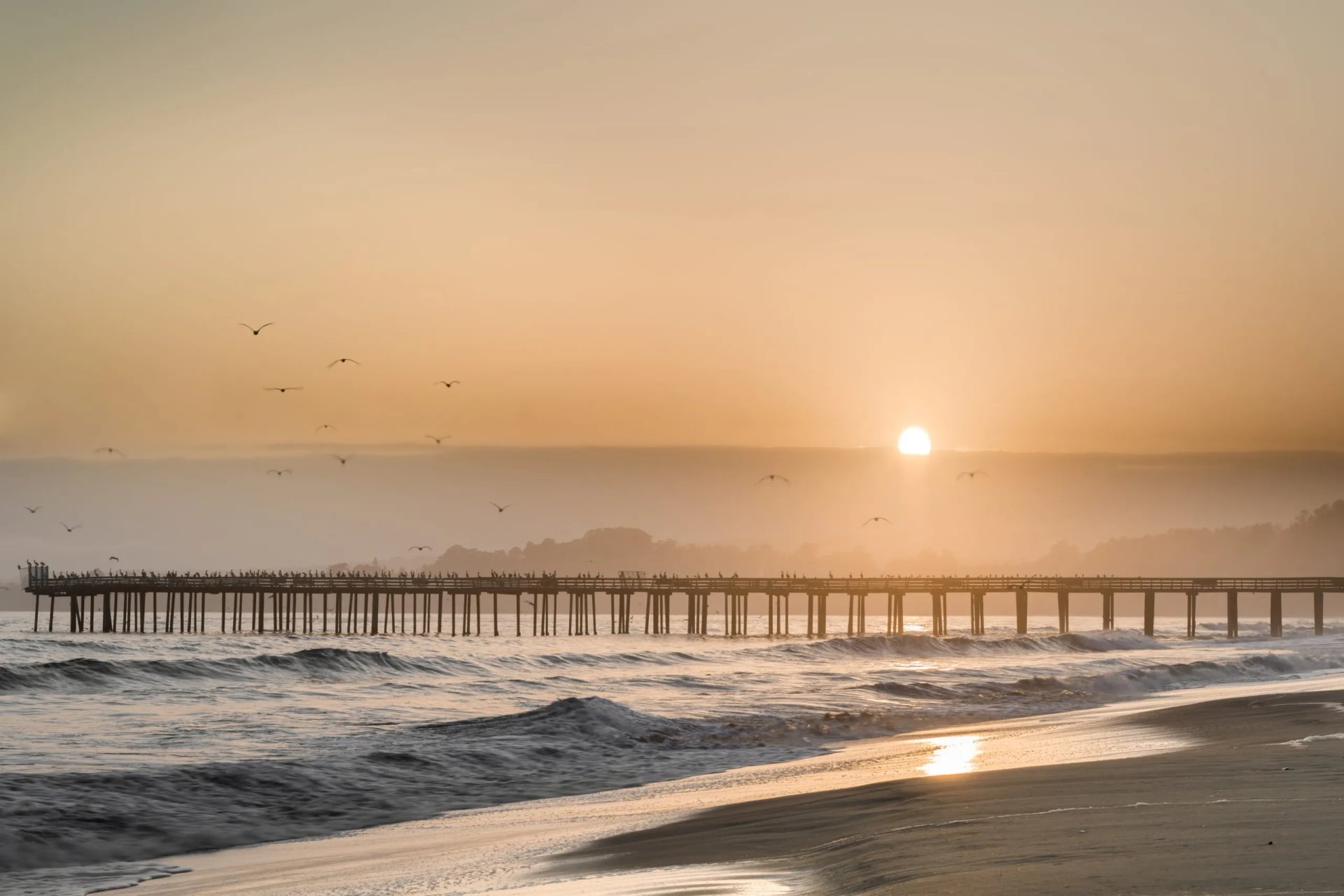
Monterey Bay Inn to Inn | 510 ft of climb | 8 to 16 miles | 2/5, 1/5 | Inns, luggage moved |
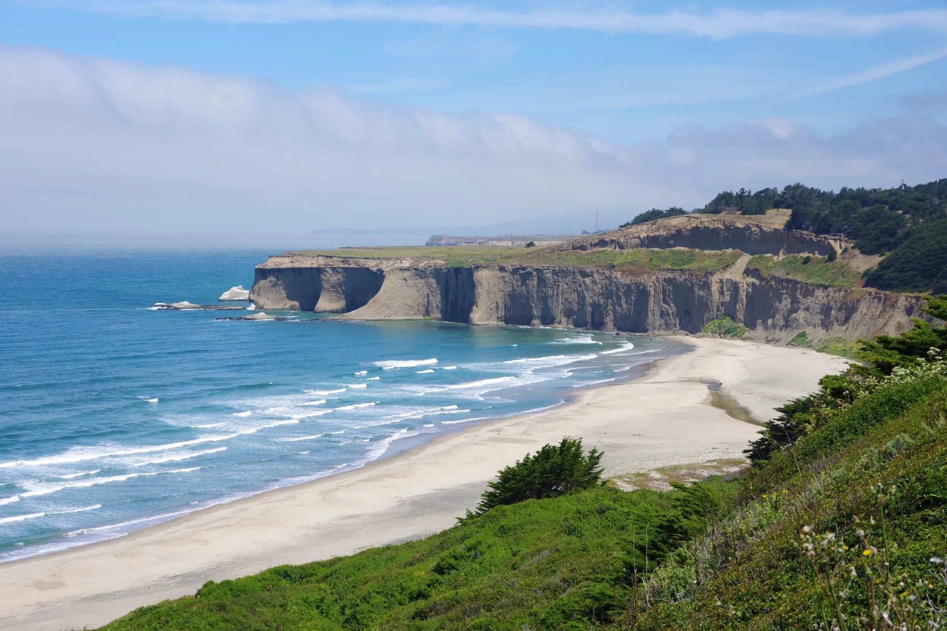
Half Moon Bay to San Francisco | 1,170 ft | 9 to 11 miles | 2/5, 2/5 | Inns, luggage moved |
Rogue River Trail | 1,500 ft | 6 to 13 miles | 3/5, 3/5 | Riverside lodges |
Mount Tamalpais Inn to Inn | 2,700 ft | 8 to 10 miles | 3/5, 3/5 | Inns |
Appalachian Trail Hut to Hut Highlights | 3,300 ft | 3 to 8 miles | 5/5, 5/5 | AMC huts, bunkrooms |
Presidential Traverse Hut to Hut | 4,040 ft in 3.9 miles | 4 to 7 miles | 4/5, 5/5 | AMC huts, bunkrooms |
Monterey Bay Inn to Inn Hiking
Hardest day: 510 feet of climb
Daily distance: 8 to 16 miles, the longest days here
Grades: 2/5 fitness, 1/5 technical
Sleeping: inns, luggage moved
Our flattest week, and the easiest way into point-to-point walking. One day covers 15.3 miles on 200 feet of climb, and no day in the week goes over 510 feet. The technical grade is 1 out of 5, the only trip of ours at that level.
Half Moon Bay to San Francisco Inn to Inn Hiking
Hardest day: 1,170 feet of climb
Daily distance: 9 to 11 miles, evenly matched
Grades: 2/5 fitness, 2/5 technical
Sleeping: inns, luggage moved
A coastal traverse that finishes in a city, which is useful if you want to add days at the end. The days barely vary, from 8.5 to 10.5 miles, so there is no stage to dread. The climb sits almost entirely in one day of 1,170 feet.
Rogue River Trail
Hardest day: 1,500 feet of climb
Daily distance: 6 to 13 miles
Grades: 3/5 fitness, 3/5 technical
Sleeping: riverside lodges, basic
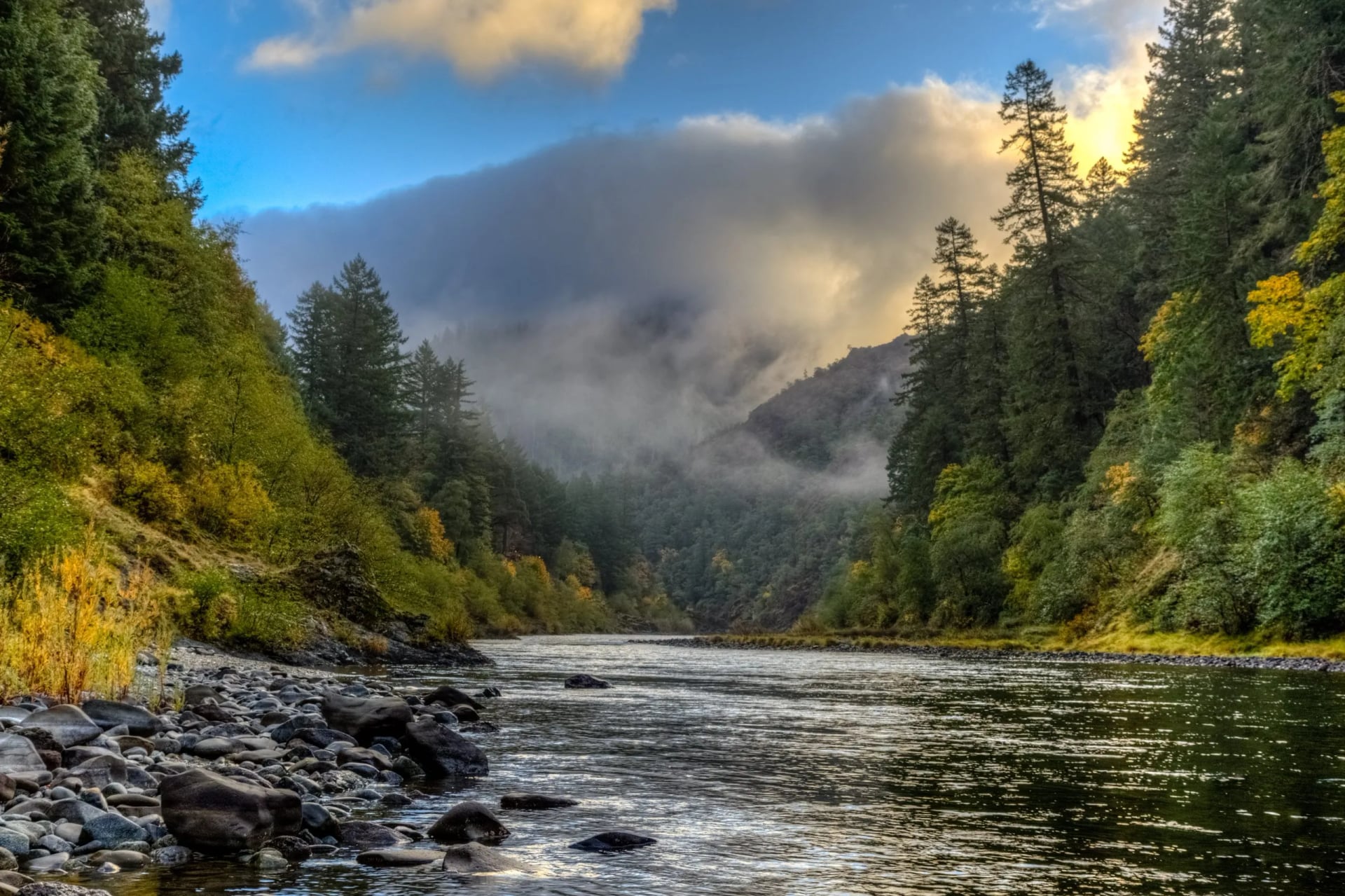
Southern Oregon, walking a river corridor between lodges that once supplied gold miners. The days are uneven in a way the California weeks are not: 9.5 miles with 1,500 feet, then 13 miles with 1,300, then two easy ones. We grade the lodges basic, not comfort, and that is the honest description.
Mount Tamalpais State Park Inn to Inn Hiking
Hardest day: 2,700 feet of climb
Daily distance: 8 to 10 miles
Grades: 3/5 fitness, 3/5 technical
Sleeping: inns, comfort
Mount Tamalpais rises straight out of the Marin headlands north of San Francisco. The climbs are short and steep, and the last day takes 2,700 feet in nine miles. Four days out of five carry over 1,600 feet of climb.
Appalachian Trail Hut to Hut Highlights
Hardest day: 3,300 feet of climb
Daily distance: 3 to 8 miles, short and steep
Grades: 5/5 fitness, 5/5 technical
Sleeping: AMC huts, bunkrooms
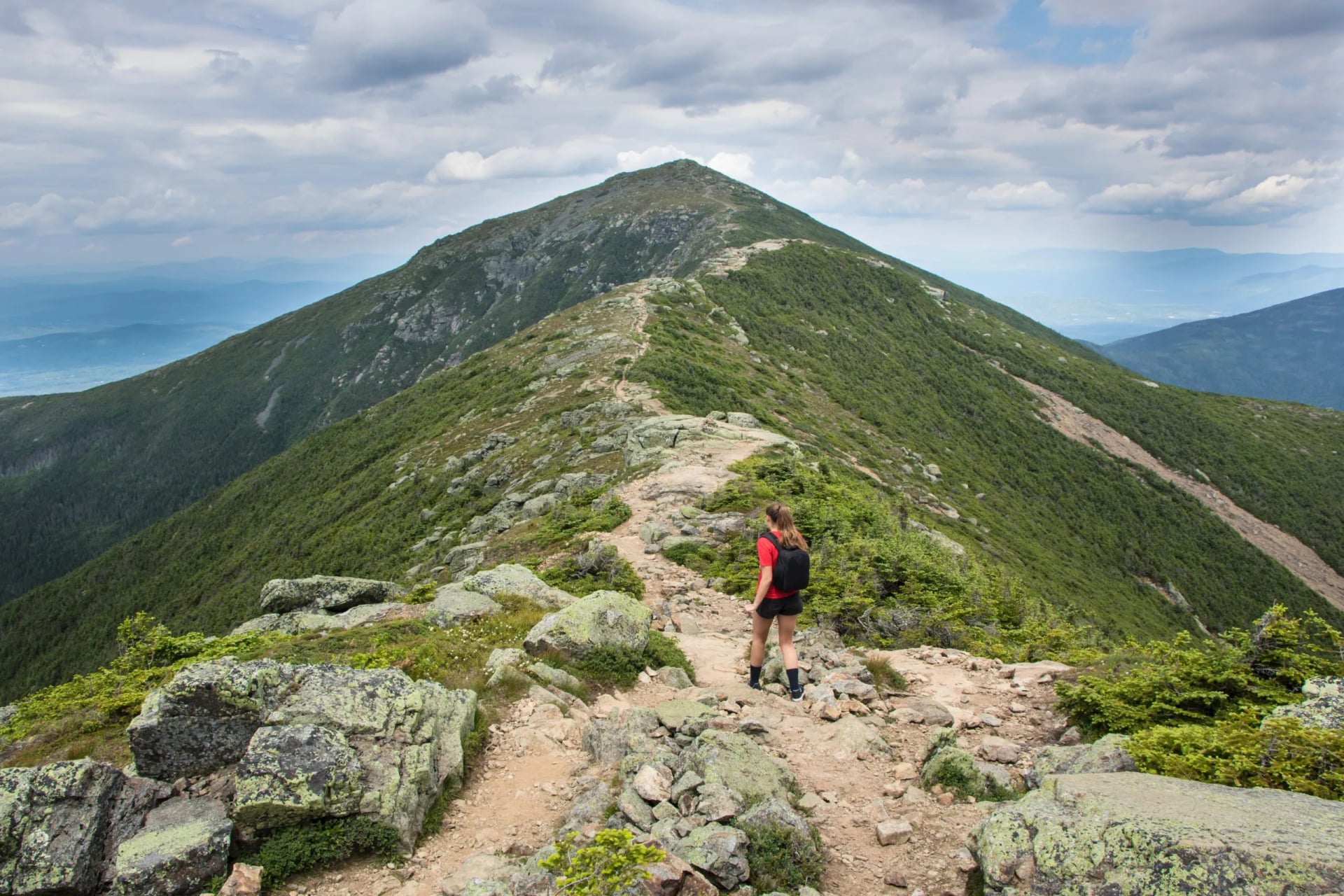
The White Mountains stretch of the Appalachian Trail, walked between Appalachian Mountain Club huts. The mileages look small and are not: a 7.7-mile day carries 3,300 feet of climb and a 2.8-mile day carries 2,450. Graded 5 out of 5 for fitness and for terrain.
Presidential Traverse Hut to Hut
Hardest day: 4,040 feet of climb, in 3.9 miles
Daily distance: 4 to 7 miles
Grades: 4/5 fitness, 5/5 technical
Sleeping: AMC huts, bunkrooms
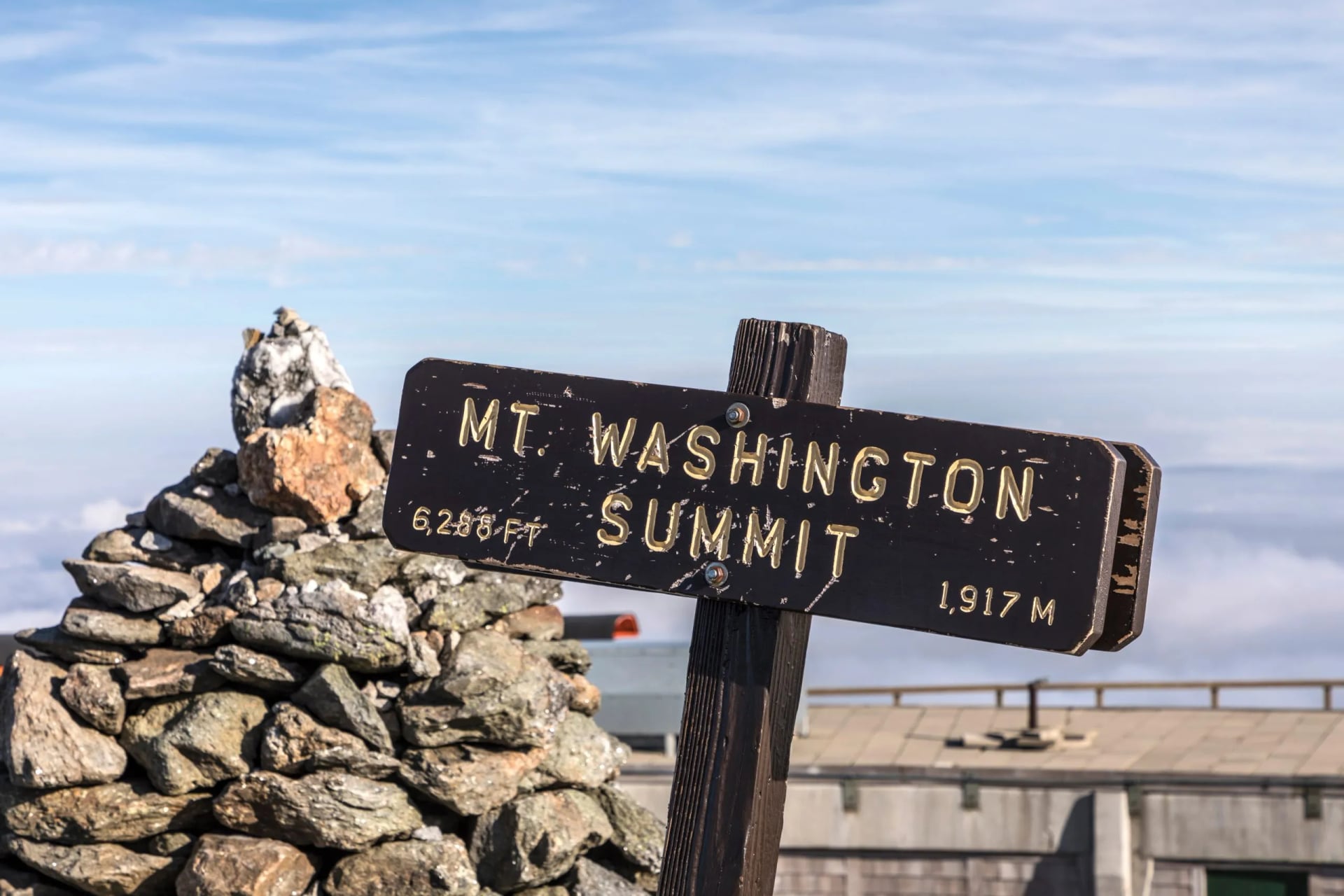
Day one is the hardest day we have anywhere: 4,040 feet of climb inside 3.9 miles, straight up onto the range. After that the route stays high across the Presidential Range, crosses Mount Washington, and gives the height back over three days. There is nowhere else to sleep up there, and the weather on Washington is genuinely dangerous.
The Triple Crown, and Why Most People Should Not Start There
The three long trails are the Appalachian Trail at 2,197 miles, the Pacific Crest at 2,650 and the Continental Divide at somewhere between 2,700 and 3,100. Walking all three is the Triple Crown. A few hundred people have done it, which is fewer than have climbed Everest.
Each one takes four to six months of continuous walking. The barrier is time, not fitness. You need a season out of your life, a resupply plan, and the willingness to keep walking in weather that would send a day hiker home, and roughly one Appalachian Trail hiker in four finishes.
If you want a named long trail without giving up five months, walk it in sections. The Colorado Trail comes in 28 of them, the Long Trail has road crossings throughout, and the Superior Hiking Trail is published in 50-mile pieces. Most people who finish these trails do it that way.
Where to Hike in the USA, by Region
Ask which are the best hiking places in the USA and the honest answer is six regions, each with its own calendar. The calendars barely overlap. Pick the region first and the month second.
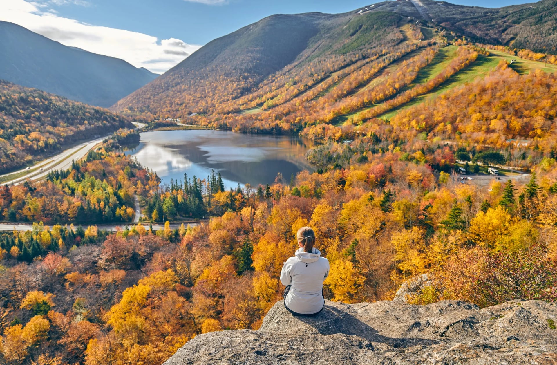
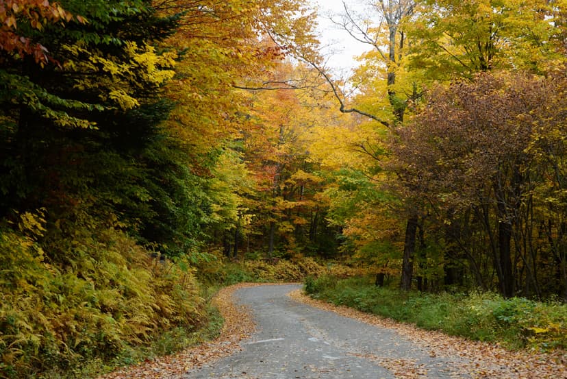
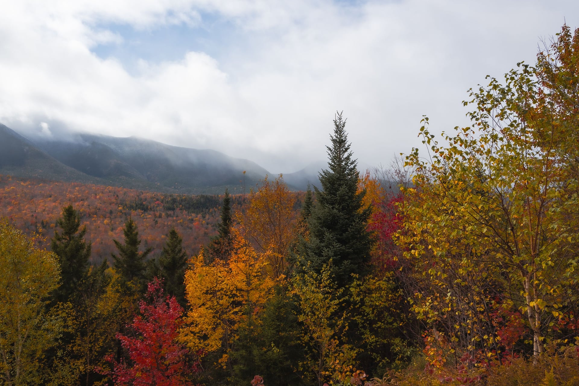
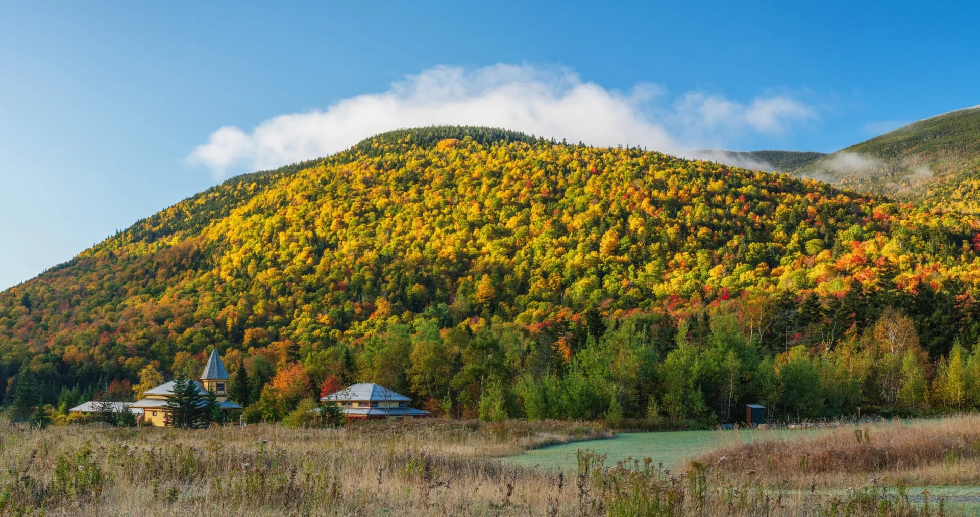
New England is the hut region. The White Mountains of New Hampshire hold the only staffed hut chain in the country, on rocky, steep ground that is not especially high. The season runs June to September, and the autumn colour in late September is what people travel for. The White Mountains have their own guide here.
The southern Appalachians have the longest season and the gentlest gradients. Great Smoky Mountains is the most visited national park in America, and spring and autumn are the windows worth taking. Locals start before dawn in July because of the humidity.
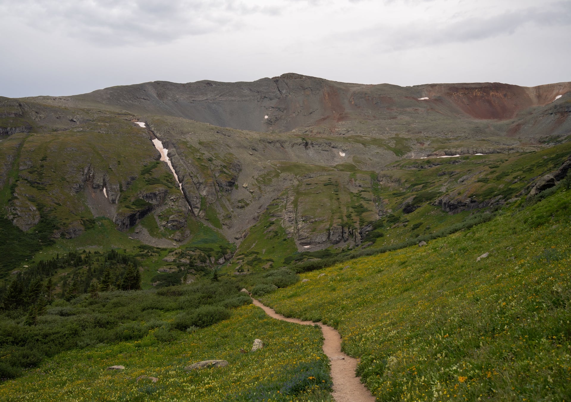
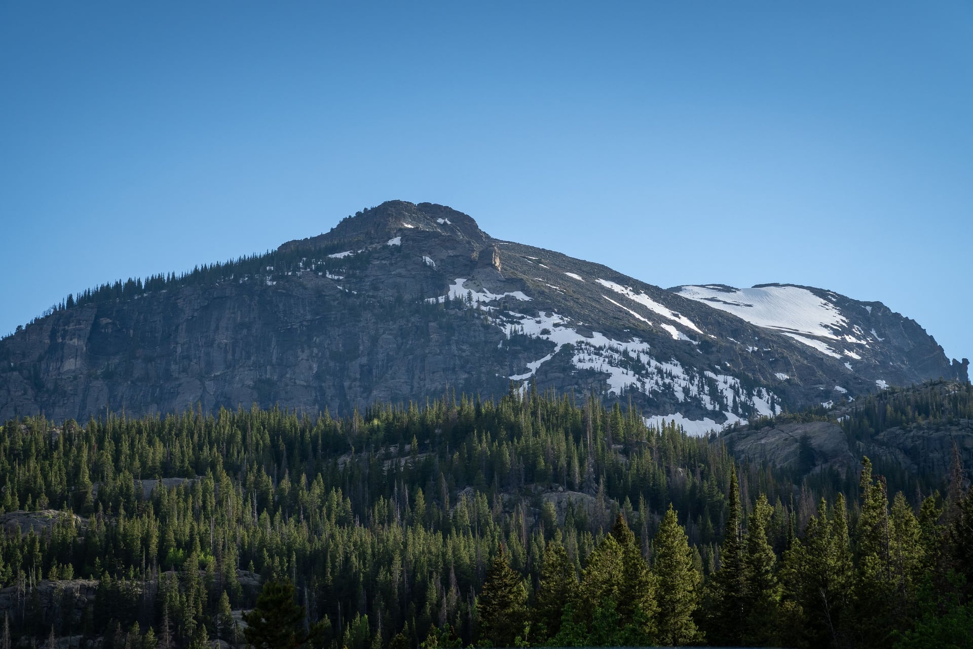
In the Rockies, altitude is the thing you plan around. Colorado keeps trails above 10,000 feet for weeks at a time and the season runs July to September. Afternoon thunderstorms are close to daily, so the local advice is to be off the summits by noon.
The Southwest runs on the opposite calendar. Utah and Arizona are at their best in spring and autumn, summer in the canyons is genuinely dangerous, and how much water you can carry matters more than how much you can climb. Havasupai and the Grand Canyon corridor need permits won months ahead.
California splits in two. The Sierra is snow-dependent and opens late, often not until July for the high passes, while the coast from Big Sur northwards walks nearly all year. Our three California weeks are all coastal for that reason.
The Pacific Northwest has the shortest season and, many would say, the best walking. Rainier, the Olympics and the North Cascades come good in late July and hold until September. Everything before that is snow and everything after is rain.
When to Go Hiking in the USA
There is no national hiking season. The country spans 20 degrees of latitude and runs from sea level to over 14,000 feet, so most people choose the region to fit the month they can travel, rather than the other way round. Two trailheads in one state can be months apart in season.
The pattern behind those four is simple enough: the desert and the mountains take turns. When one is comfortable the other is either dangerous or shut, and only late summer overlaps.
The best hiking trips in the USA are booked a season ahead. That is true whether somebody else is holding the reservations or you are doing it yourself. Our own six weeks run from the California coast in spring to New England in October.
How to Get There
Every one of our six weeks starts from a major airport. Boston Logan serves the White Mountains, about 3 hours by road to Pinkham Notch, and a Concord Coach bus from Boston stops at the Pinkham Notch Visitor Center, so the hut weeks need no hire car. San Francisco serves the three California coast walks, and Medford, Oregon, is the airport for the Rogue River.
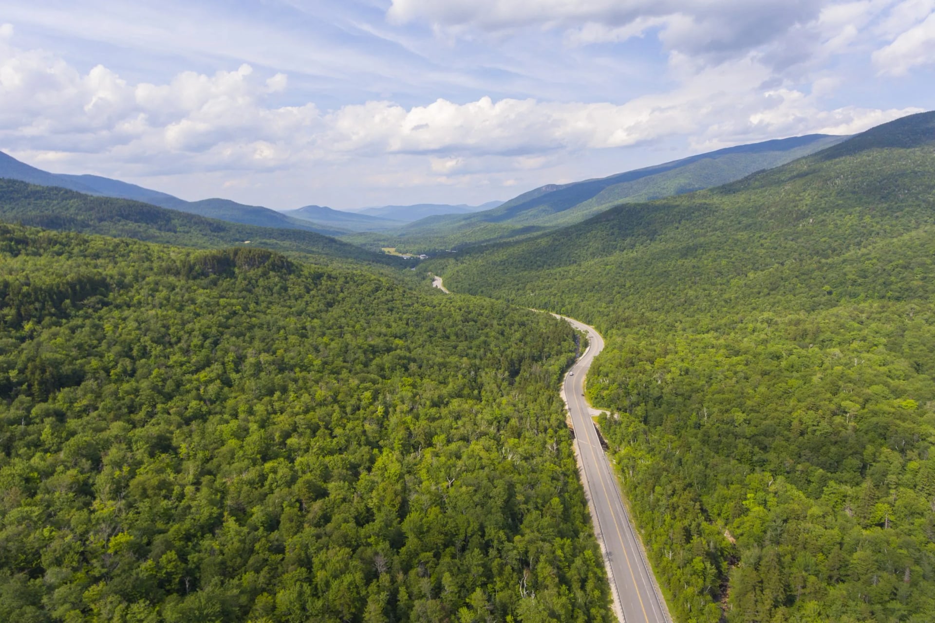
Independently, the trailheads are the problem, not the airports. Most American trailheads have no public transport at all, so a hire car or a paid shuttle is part of the plan. In the White Mountains the AMC hiker shuttle links the trailheads for $20 a ride for members and $24 for non-members, one way.
How Much It Costs
Our hut weeks are priced per person for the hut nights with dinner and breakfast, the route booklet, the GPS app and support while you walk. The California inn-to-inn weeks cover 5 or 6 nights in three-star inns with breakfast, luggage moved each day and the same guidebook and app. Dinners and tourist tax are paid locally on the inn weeks.
Independently, the fixed costs are small and specific. A White Mountain National Forest parking pass is $5 a day or $80 a year, a Great Smoky Mountains parking tag $5 a day or $40 a year, and a night in a full-service AMC hut has run around $150 per adult in recent seasons, with dinner and breakfast included. The national parks charge entry per vehicle, and the permit lotteries charge a small application fee.
What to Pack
The tour lists agree on a 25 to 35 litre day pack, trail shoes or boots, a base layer, a mid layer, a waterproof jacket and a warm hat and gloves, because the weather above the treeline can be 30 degrees Fahrenheit colder than the trailhead. Add a headlamp, sun cream and sunglasses.
Water is the American variable. Carry two litres and a filter in the mountains, three or more in the Southwest, and a bear canister where the park requires one, which you can usually rent at the ranger station. Cash for hut gratuities, a paper map, and your passport or ID for the permit checks.
Know Before You Go: Permits, Lotteries and Bear Canisters
The permit system has no European equivalent, and it is where most American trips fail before they start. Almost everything federal is booked through Recreation.gov, and the popular routes go by lottery rather than first come first served. Applying happens on a fixed calendar date.
The lotteries open months ahead and close within days. Wonderland, Half Dome, the John Muir Trail, Havasupai and the Enchantments all work this way, with windows in late winter or spring for the following summer. If a route is famous, assume the window closed before you started planning.
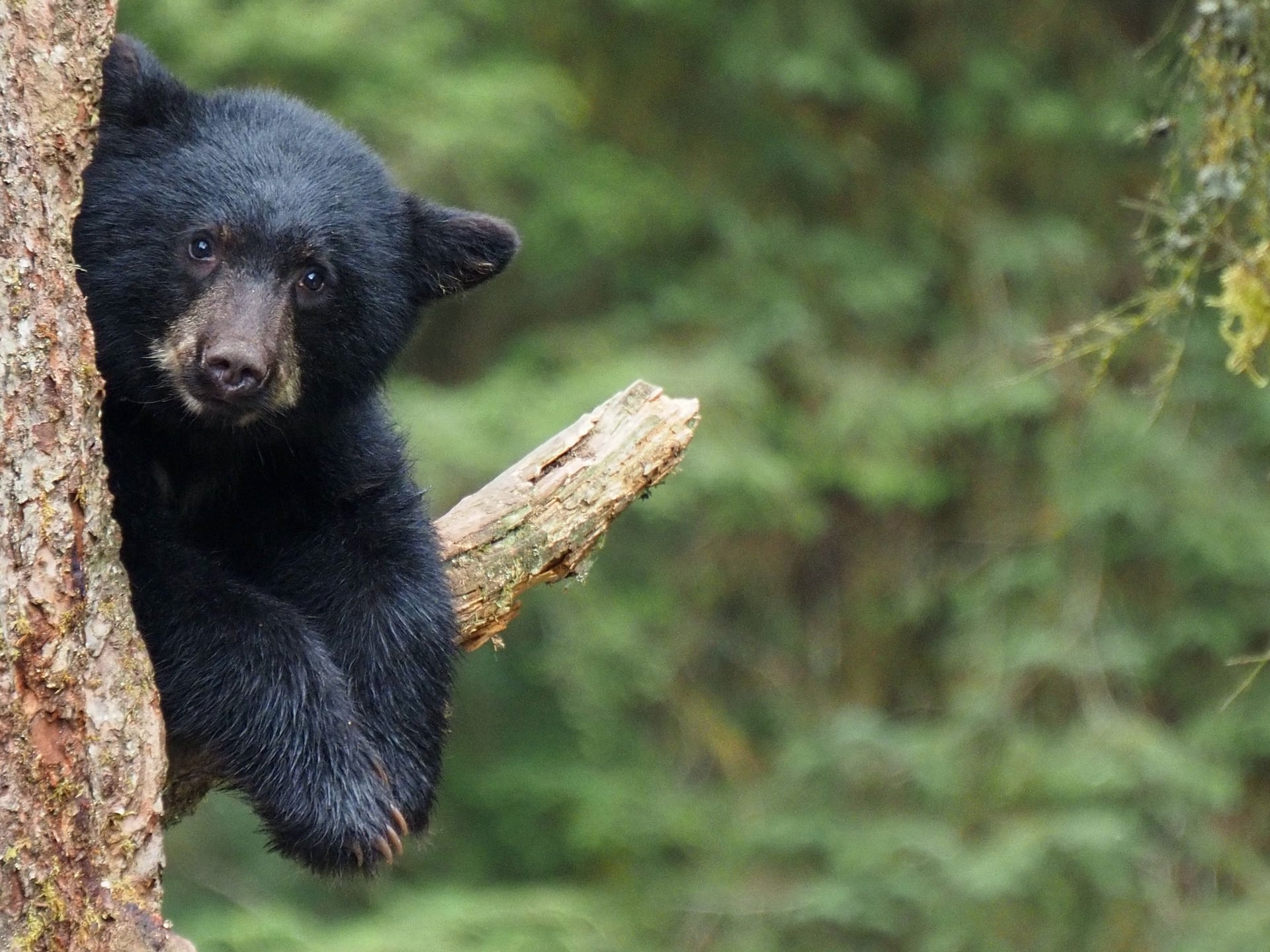
Bear canisters are required by law across much of the Sierra, in Yosemite and in parts of the Rockies, and rangers do check them. Hanging your food in a bag does not count. You can usually rent a canister at the trailhead ranger station, so there is no need to fly with one.
Altitude spoils more American trips than anything else. Flying from sea level to a Colorado trailhead at 9,000 feet is a bigger shock to the body than the walking is. Arrive a day or two early and sleep high before you walk high.
Mobile signal is absent across most wilderness, and it is worth planning for rather than hoping. A downloaded map matters more than an expensive phone, and a paper backup matters more than either. Leave your route and your expected finish time with somebody at home before you set off.
Choosing Your First Multi-Day Hike in the USA
Pick by the hardest day's climb, not by the photograph. Our six trips run from 510 feet to 4,040 in a single day, and that number predicts how a week will feel better than distance or scenery does. Every figure on this page comes off a published itinerary or a park authority.
If the walking should be the easy part of the holiday, start with the Monterey Bay week at 510 feet. If you want the American classic and have the legs for it, the Presidential Traverse is the one. Everything in between is a question of how much climbing you enjoy.
Tell us what you can climb in a day and we will match the week to it →
Frequently Asked Questions
Plan with a hiking expert
Free advice from a team that knows these routes inside out - real people, not a bot

HASSLE FREE
We handle itineraries, accommodations, and anything else you prefer not to deal with, so you can enjoy a carefree hike.

BOOK WITH CONFIDENCE
We are a financially protected company, fully bonded and insured, keeping your money safe and allowing you to travel with confidence.

TRIED & TESTED ADVENTURES
Only the best hut to hut hikes in the USA, cherry-picked by our local team with an in-depth knowledge of the region.

UNBEATABLE SUPPORT
Our 24/7 customer support is where we show our passion, bringing you a better experience by making your well-being our number one priority.